Category: Canadian Model

A Look At Where We’ve Been And Where We’re Going…

December so far has been a battle between the cold northern tier and warmth south. The so-called “battle zone” has been located over our neck of the woods and lead…

You must be logged in to view this content. Click Here to become a member of IndyWX.com for full access.  Already a member of IndyWx.com All-Access?  Log-in here.

Permanent link to this article: https://indywx.com/a-look-at-where-weve-been-and-where-were-going-4/

50/50 Split On Sunday Night Snow…

Quick-hitting Bullet Points:

  • Light snow Saturday night
  • Still questions around Sunday night snow potential
  • Even colder air invades early next week
  • Fun and games continue in the longer range

The afternoon model suite is in in it’s entirety and it leaves us with about as many questions as answers :-)…

Four of our more trusted short-term forecast models are split 50/50 on the outcome Sunday night.  In the snowy camp you have the NAM and European.  In the drier camp you have the GFS and GEM.  Past experience with this type event says the European and NAM solutions may have the better handle and we think the drier modeling will shift a touch northwest with time over the upcoming 24 hours.  The difference between camps would be a nice 2-3″ type snowfall for the Monday morning commute across central Indiana versus nothing more than a few flurries.  More as the details become clearer…

We still forecast light snow to overspread central Indiana Saturday evening and night.  While this won’t be a big deal, a dusting to 1″ of snow is a good bet across most of central Indiana, especially from the I-70 corridor and points north.  Roads may be slick in spots on your way to church Sunday morning.

One thing that’s a certainty is that another blast of arctic air will invade along with scattered snow showers early next week.  This push of bitter air will be even colder than this weeks.

In the longer term, plenty of wintry “fun and games” remain.  In fact, today’s 12z European has the look set to offer more meteorological headaches come late next week.  Ah, the season is only beginning… 🙂

f168

Permanent link to this article: https://indywx.com/5050-split-on-sunday-night-snow/

Weekly Outlook: Busy Times In The Weather Office…

October finished colder than average (-0.8°) and slightly wetter than normal (+0.05″). The full October summary can be found here: http://www.crh.noaa.gov/news/display_cmsstory.php?wfo=ind&storyid=104988&source=0 November has gotten off to a rip-roaring start if…

You must be logged in to view this content. Click Here to become a member of IndyWX.com for full access.  Already a member of IndyWx.com All-Access?  Log-in here.

Permanent link to this article: https://indywx.com/weekly-outlook-busy-times-in-the-weather-office/

Weekly Outlook: Big Weather Changes…

October, month-to-date, shows a reflection of cool anomalies across the Great Lakes region and wetter than normal across the central and Tennessee Valley. The week will get off to an…

You must be logged in to view this content. Click Here to become a member of IndyWX.com for full access.  Already a member of IndyWx.com All-Access?  Log-in here.

Permanent link to this article: https://indywx.com/weekly-outlook-big-weather-changes/

Much Needed Dry Time On Deck For #Harvest14…

Despite another day of showery, damp weather Wednesday, the overall “trend is our friend” in the short to mid range as a much drier pattern develops.

Drier, cooler air will penetrate into the Mid West and Ohio Valley as the weekend draws closer.

gfs_precip_mslp_east_19


gfs_precip_mslp_east_27


gfs_precip_mslp_east_43


It’s important to note the GFS has support on the drier trend to include some other highly respected mid range model suites such as the Canadian and European.

The next round of rain arrives Tuesday with reinforcing chilly air that could deliver mid and late week frost and freeze conditions for parts of the region.  The Canadian is a little more bullish on rainfall totals when stacked against the GFS and European.  We’ll continue to monitor.

gfs_precip_mslp_east_51


cmc_precip_mslp_east_26


Regardless of Tuesday rain, we’ll quickly return to a dry regime by the middle of next week.

The Climate Prediction Center (CPC) agrees on a drier pattern in the mid range.

814prcp.new


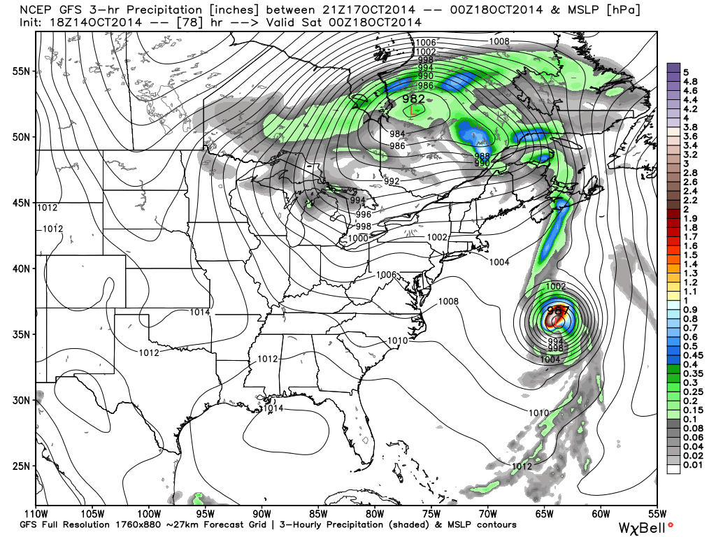
Latest forecast rainfall totals off the GFS model suggest amounts of 0.50″, or less, across the region over the upcoming 7-days, and it’s important to note half of that likely falls Wednesday with showers associated with swirling low pressure around the region.

gfs_total_precip_east_30


Note the cooler trend developing in the 7-day, as well:

KIND_2014101418_tx_192

If your company depends on snow removal or other types of winter weather, please send us an e-mail for customized winter weather consulting at bill@indywx.com.

Permanent link to this article: https://indywx.com/much-needed-dry-time-on-deck-for-harvest14/