Updated 08.09.22 @ 7:30a
You must be logged in to view this content. Click Here to become a member of IndyWX.com for full access. Already a member of IndyWx.com All-Access? Log-in here.
Aug 09
Updated 08.09.22 @ 7:30a
You must be logged in to view this content. Click Here to become a member of IndyWX.com for full access. Already a member of IndyWx.com All-Access? Log-in here.
Permanent link to this article: https://indywx.com/video-much-drier-and-cooler-air-takes-hold-to-close-the-week-watching-a-potential-storm-complex-sunday/
Aug 07
Updated 08.07.22 @ 8:44a
1.) In the short-term, a much cooler and less humid airmass awaits on deck this week. 2 frontal systems will pass through the state between Tuesday night and Thursday. We’ll notice an uptick in coverage of showers and thunderstorms starting this afternoon/ evening and repeating itself once again Monday afternoon/ and evening as the 1st front slowly sags south. Some gusty winds are possible with these lines of storms, as well as heavy rain. In fact, most areas in/ around Indianapolis and points north should cash in on 1″ to 2″ of rain (locally heavier totals) by Tuesday morning.
2.) The secondary cold front won’t have as much moisture to work with so coverage of showers and storms isn’t expected to be as widespread Thursday (“widely scattered” at best from this distance).
Thereafter, an even drier and cooler air mass is scheduled to arrive just in time for the weekend. Look for lower humidity levels, sunshine, and refreshing temperatures (even should dip into the 50s for overnight lows).
3.) After a quiet time in the tropics, there are signs we’re on the cusp of heading into busier days (should the MJO swing into Phase 2, then things could get very busy and in rather quick fashion). We note the National Hurricane Center (NHC) is monitoring a tropical wave that’s just now emerging off the African coast. There’s the potential the environment will become more conducive for gradual development of this feature over the next few days.
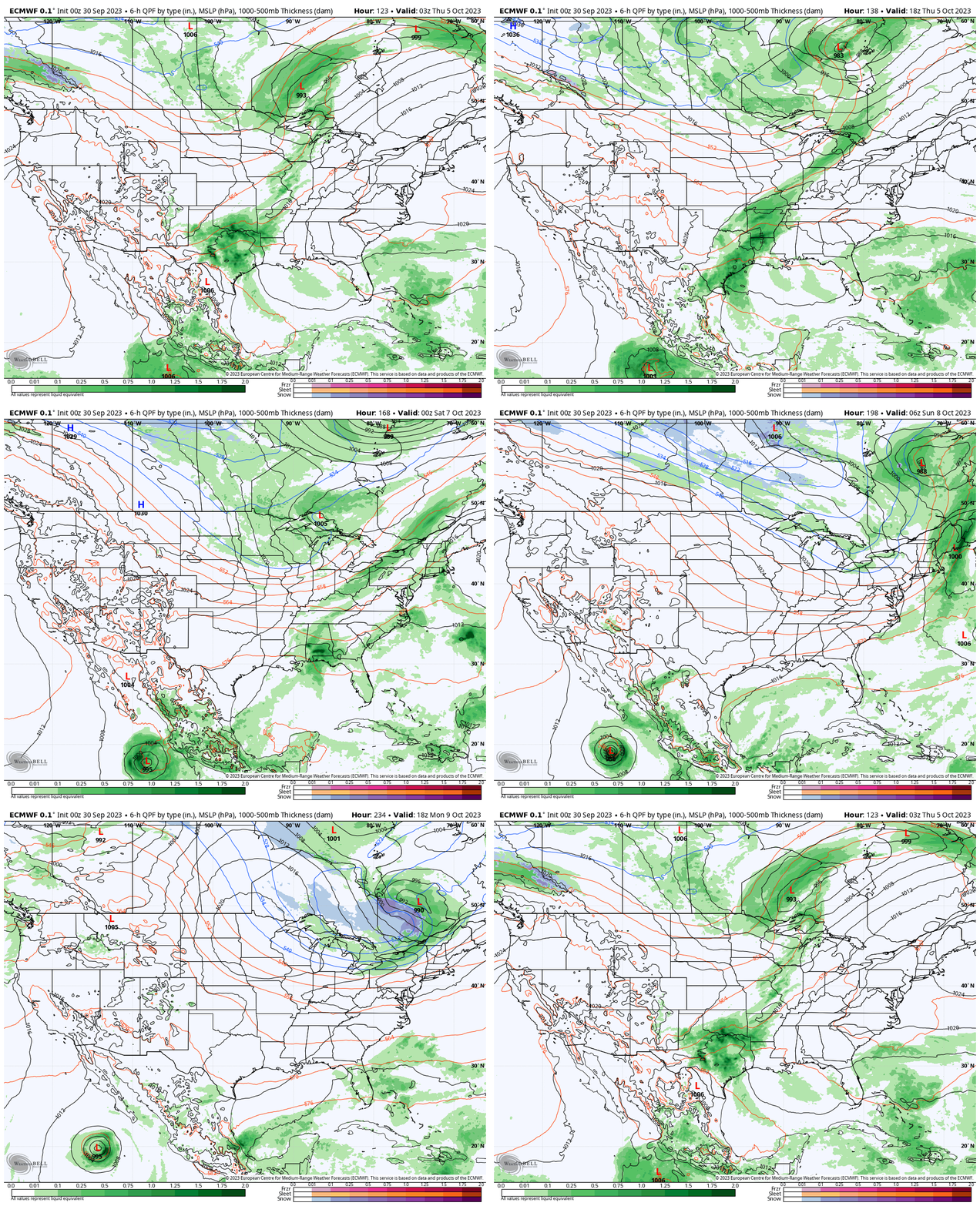
Also of interest is the precipitation pattern in the Gulf of Mexico over the next couple weeks. Additional trouble lurking here? It’s getting to be that time of year…
4.) Finally, new seasonal modeling is in for the upcoming fall and winter. The European seasonal model suggests that potentially our idea of a fast start to the upcoming winter (after a warmer than average fall overall) is on the right track.
Meteorological fall (Sept through Nov):
Note how the ridge builds in western Canada come December (reflection of a trough over the East). Candidly, for a model that struggles to ever really see cold, this is a bullish look. We’ll have to keep an eye on things as we get closer as I suspect cold to begin to show with more authority given the 500mb setup. Cold, wintry Christmas season in the works this year?
December:
The pattern is shown to remain favorable for additional colder than normal weather, locally, into the new year:
January:
Very interesting as this fits our early research (triple dip Nina). Also of interest is how things break down and are modeled to end on a warmer than normal note (would agree with this idea as well) as we finish off meteorological winter.
February:
Permanent link to this article: https://indywx.com/sunday-morning-rambles-tropics-about-to-wake-up-new-model-data-in-for-fall-winter/
Aug 04
Updated 08.04.22 @ 7:50a
You must be logged in to view this content. Click Here to become a member of IndyWX.com for full access. Already a member of IndyWx.com All-Access? Log-in here.
Permanent link to this article: https://indywx.com/video-breath-of-fresh-air-arrives-next-week-additional-early-chatter-around-the-upcoming-fall-and-winter-pattern/
Aug 02
Updated 08.02.22 @ 7:30a
You must be logged in to view this content. Click Here to become a member of IndyWX.com for full access. Already a member of IndyWx.com All-Access? Log-in here.
Permanent link to this article: https://indywx.com/video-tracking-midweek-storms-additional-chatter-as-meteorological-fall-nears/
Jul 29
Updated 07.29.22 @ 8a
You must be logged in to view this content. Click Here to become a member of IndyWX.com for full access. Already a member of IndyWx.com All-Access? Log-in here.
Permanent link to this article: https://indywx.com/long-range-pattern-discussion-for-august-and-september/