Category: Autumn

Another Big Shot Of Cool Air Dialed Up, But What About Rain?

“Transient” warmth and continued dry weather will carry us through the short-term period, but don’t get used to it.

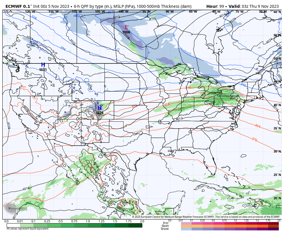
Another sharp trough will plunge into the eastern portion of the country next week and offer up the coolest air of the young fall season, along with better chances of at least light rain. The upcoming cool blast is in response to the positive PNA and negative EPO.

The airmass associated with this trough next week will be early November-like for a day or two, and well below late September/ early October norms for the remainder of the period.

Unlike our last trough, this one will feature more upper level energy and this combined with the unseasonably cold air (at the surface and aloft) will generate periods of at least light rain during the early part of the work week.

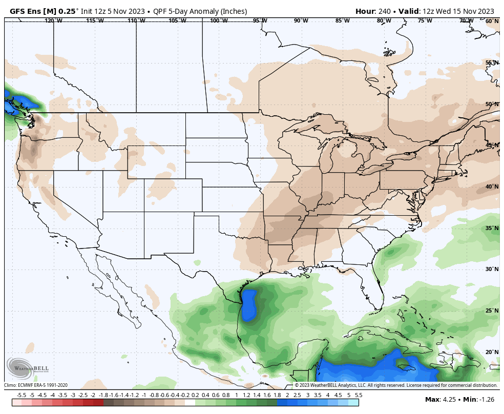
We’re not talking about a lot of rain, but a badly needed 0.25″ to 0.50″ is better than nothing.

Looking farther out, there’s reason to buy into the cooler than normal pattern having staying power into the first 1/3 of October, and perhaps beyond. More on this in future updates. Make it a great Tuesday!

Permanent link to this article: https://indywx.com/2020/09/22/another-big-shot-of-cool-air-dialed-up-but-what-about-rain/

VIDEO: Talking Our Next Chance Of Rain; Early November-like Chill Next Week…

You must be logged in to view this content. Click Here to become a member of IndyWX.com for full access.  Already a member of IndyWx.com All-Access?  Log-in here.

Permanent link to this article: https://indywx.com/2020/09/21/video-talking-our-next-chance-of-rain-early-november-like-chill-next-week/

VIDEO: Turning Briefly Warmer Before Another Chilly Plunge…

You must be logged in to view this content. Click Here to become a member of IndyWX.com for full access.  Already a member of IndyWx.com All-Access?  Log-in here.

Permanent link to this article: https://indywx.com/2020/09/20/video-turning-briefly-warmer-before-another-chilly-plunge/

VIDEO: Chilly Start Sunday AM; Keeping Close Eyes On Interaction Between Approaching Trough Late Week And Remnant Tropical Moisture…

You must be logged in to view this content. Click Here to become a member of IndyWX.com for full access.  Already a member of IndyWx.com All-Access?  Log-in here.

Permanent link to this article: https://indywx.com/2020/09/19/video-chilly-start-sunday-am-keeping-close-eyes-on-interaction-between-approaching-trough-late-week-and-remnant-tropical-moisture/

2 Sides To Every Storm…

An early taste of winter is descending on the Rockies today (the town of Breckenridge camera will be fun to check in on from time to time over the next 24 hours). Places, such as Denver, that were in the 90s yesterday will fall into the 20s and 30s today with snow.

Note the big spread in temperatures across the country this morning and corresponding 24 hour temperature change:

We’ll remain on the mostly dry and warm side of this event until the weekend.

Once the storm system lifts northeast and gets close enough to impact our region, it’ll be in a much weaker state. Scattered showers and thunder are possible over the weekend, but widespread significant rainfall isn’t expected.

After heavy rains fell across north-central Indiana Monday, a much drier theme can be expected throughout the next several days. A widely scattered shower or thunderstorm is possible before Saturday, but most should remain rain-free. Even as the storm system draws closer, weekend rainfall should average only between 0.25″ and 0.50″ for most.

Cooler air (nothing to the extent or magnitude of what our friends out west are seeing) will filter in here late weekend and early next week. Lows into the 50s can be expected with a couple of days of highs in the 70s.

Permanent link to this article: https://indywx.com/2020/09/08/2-sides-to-every-storm/

VIDEO: Discussing Where Strong Storms May Develop Later This Afternoon; Warm Week Ahead…

You must be logged in to view this content. Click Here to become a member of IndyWX.com for full access.  Already a member of IndyWx.com All-Access?  Log-in here.

Permanent link to this article: https://indywx.com/2020/09/07/video-discussing-where-strong-storms-may-develop-later-this-afternoon-warm-week-ahead/

VIDEO: Heavy Rain Overnight; Season’s First Strong Front, And Eyeing Flip To Warmer Regime Mid-Month…

You must be logged in to view this content. Click Here to become a member of IndyWX.com for full access.  Already a member of IndyWx.com All-Access?  Log-in here.

Permanent link to this article: https://indywx.com/2020/09/01/video-heavy-rain-overnight-seasons-first-strong-front-and-eyeing-flip-to-warmer-regime-mid-month/

September 2020 (And Fall) Outlook…

Well here we are on the eve of meteorological fall and, right on cue, there’s a change on the horizon in the overall weather pattern. Does the quick start to a more autumn-like feel early and mid September continue into late month, or for that matter October and November? Let’s look at September first:

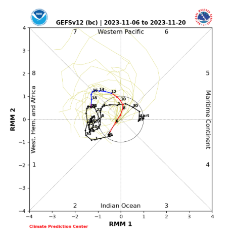
I. MJO will remain active- moving out of Phase 2 and into 3, 4, 5, and 6.

II. Tropics should remain busy with more of an East Coast threat.

III. West looks to remain hot and dry.

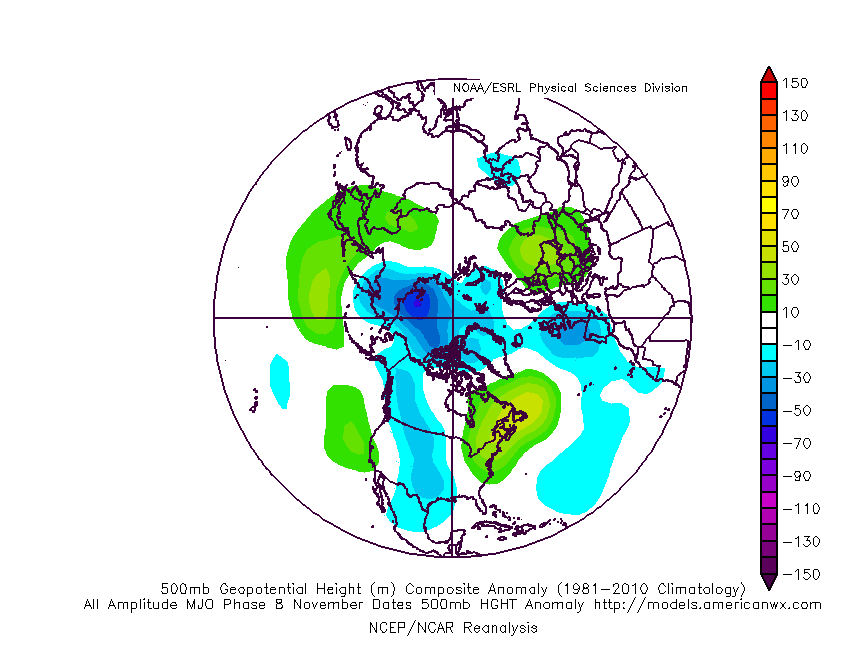
Note the precipitation and temperature patterns associated with the MJO phases this time of year:

The next couple of weeks will feature multiple cold fronts sliding through the region and each will provide progressively cooler air. The front coming through around Labor Day may even result in the hoodies having to be pulled out for the first time, including an early October-like feel. BUT- note how the MJO wants to rumble into Phases 5-6 towards late month. These will likely lead to a warmer pattern around Sept. 20th (give or take a day or two) through the remainder of the month.

As we broaden the spectrum a bit and focus on September through November, let’s start by taking a look at how the oceans may impact the pattern:

Most models suggest La Nina will peak late fall or early winter before giving way to La Nada by spring.

Aside from the upwelling associated with Laura, most of the Gulf of Mexico and certainly off the East Coast remains much warmer than normal. Unfortunately, this, along with other favorable conditions in the main development region (MDR) will likely continue to promote a hyperactive 2nd half of the tropical season. The other impact will likely be a warmer than normal fall season along the eastern seaboard, bleeding back into areas west of the Appalachians. Furthermore, we think the MJO will lean more towards Phases 6-8 for mid and late autumn.

The blend of the CFSv2 and European seasonal data sees a similar forecast to what we have out for September for the autumn, as a whole:

We believe fall 2020 will run slightly warmer than normal for our immediate region with the greatest spot for cooler anomalies to show up throughout the central Plains. After what we believe will be a wet September, things may take a turn for the drier in October before flipping back to wet in November. We prefer the way the CFSv2 handles the precipitation pattern compared to the European.

Next seasonal outlook we produce? Our annual winter package. Tick tock…

Permanent link to this article: https://indywx.com/2020/08/30/september-2020-and-fall-outlook/

VIDEO: Tracking Multiple Cold Fronts To Open September…

You must be logged in to view this content. Click Here to become a member of IndyWX.com for full access.  Already a member of IndyWx.com All-Access?  Log-in here.

Permanent link to this article: https://indywx.com/2020/08/30/video-tracking-multiple-cold-fronts-to-open-september/

VIDEO: Quick Start To A Fall-Like Feel This Year?

You must be logged in to view this content. Click Here to become a member of IndyWX.com for full access.  Already a member of IndyWx.com All-Access?  Log-in here.

Permanent link to this article: https://indywx.com/2020/08/28/video-quick-start-to-a-fall-like-feel-this-year/

IndyWx.com