Category: Arctic Cold

Persistent Rain Gives Way To Some Hailers Wednesday PM? Colder Shift With Wintry Precipitation This Weekend Into Early Next Week…

Updated 03.22.22 @ 6:52a

A shield of rain is lifting into central Indiana during the predawn hours and once it arrives, we can expect wet times to persist through the better part of our Tuesday.

An all day rain can be expected across the region.

This is all part of a surface low that will lift northeast out of the central Plains region (today) into the lower Great Lakes region (Thursday). In association with this low pressure system, a warm front will lift northeast across the region Wednesday. Eventually, a cold front will move from west to east and sweep the state Wednesday night and early Thursday.

As this all transpires, a steady “all day” soaker can be expected across the region today.

Periods of rain will persist through our Tuesday.

Heaviest rain will be confined to western and northwestern parts of the state where amounts of 2″+ can be expected by 7a Wednesday. For immediate central and eastern Indiana, amounts of 0.50″ to 1.25″ can be expected by Wednesday morning.

Precipitation will turn more “showery” in nature by Wednesday morning, but by this timeframe, all eyes will be turning to the potential of thunder Wednesday afternoon as just enough instability and cold air aloft combine. From the city, itself, and points north and east, the threat of a few stronger cells are present Wednesday afternoon (after lunchtime). With the ingredients in place, a few of these storms could produce hail as they race off to the northeast.

We’ll turn MUCH cooler Thursday and Friday with a few “nuisance” variety showers around, but compared to what we see today and Wednesday, these won’t be a big deal (just annoying ;-)).

The colder times continue into the weekend and early portions of the next week and with a fast northwesterly flow aloft, a couple of disturbances will likely deliver the potential of mixed rain/ snow showers Saturday and again Monday.

Snow showers will likely be flying across the region as we open up the weekend.
A clipper system will offer up the chance of additional snow Monday morning.

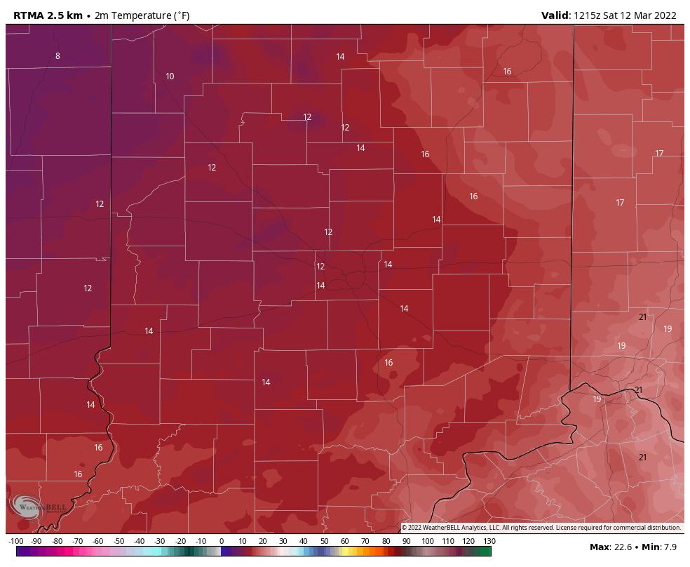
We still expect a hard freeze (25° to 30°) early next week for a good chunk of the region.

Permanent link to this article: https://indywx.com/persistent-rain-gives-way-to-some-hailers-wednesday-pm-colder-shift-with-wintry-precipitation-this-weekend-into-early-next-week/

VIDEO: Stunning Open To The Work Week Before Unsettled Weather Returns; Snow Mixes In By The Weekend…

Updated 03.21.22 @ 6:52a

You must be logged in to view this content. Click Here to become a member of IndyWX.com for full access.  Already a member of IndyWx.com All-Access?  Log-in here.

Permanent link to this article: https://indywx.com/video-stunning-open-to-the-work-week-before-unsettled-weather-returns-snow-mixes-in-by-the-weekend/

VIDEO: Gorgeous First Official Day Of Spring; Unsettled Midweek And Much Colder Next Weekend…

Updated 03.20.22 @ 8:48a

You must be logged in to view this content. Click Here to become a member of IndyWX.com for full access.  Already a member of IndyWx.com All-Access?  Log-in here.

Permanent link to this article: https://indywx.com/video-gorgeous-first-official-day-of-spring-unsettled-midweek-and-much-colder-next-weekend/

VIDEO: Warming Trend Takes Hold This Week…

Updated 03.13.22 @ 8a

You must be logged in to view this content. Click Here to become a member of IndyWX.com for full access.  Already a member of IndyWx.com All-Access?  Log-in here.

Permanent link to this article: https://indywx.com/video-warming-trend-takes-hold-this-week/

Significantly Milder In The Week Ahead, But Not Ready To Make Claim Spring Is Here To Stay…

Updated 03.12.22 @ 8:36a

While we’re waking up to absolutely bitter conditions this morning (especially by mid-March standards), a significant pattern change awaits this week. Temperatures this morning are deep into the 10s and include ‘chills in the subzero category.

Most across central Indiana will struggle to make it above the freezing mark today, but have no fear. Strong moderation kicks into high gear for the 2nd half of the weekend. That will lay the groundwork for our trend in the week ahead. Ridging will expand across the eastern portion of the country and result in temperatures climbing into the upper 60s by midweek.

Aside from a couple light showers Tuesday, our weather conditions look rather uneventful until late next week when a more organized storm will push better rain chances into our picture to close out the work week.

Looking ahead, you can begin seeing the reflection in the European ensemble (above) of a central and eastern trough developing, yet again, as we get set to close out March. This is likely a byproduct of an expected negative EPO and NAO late month and reason to tap the brakes on any idea of a “stick and hold” spring pattern just yet.

The idea here is that we close things out this month on a chillier and wetter note (compared to normal) and should watch for the potential of anomalies to grow even colder as we go through time- especially if we drive that NAO and EPO even deeper into the negative territory.

Permanent link to this article: https://indywx.com/significantly-milder-in-the-week-ahead-but-not-ready-to-make-claim-spring-is-here-to-stay/