Now This Is More Like It…
|
Sun. |
Mon. |
Tue. |
Wed. |
Thr. |
Fri. |
Sat. |
|
|
|
|
|
|
|
|
|
25/ 53 |
35/ 64 |
48/ 60 |
43/ 50 |
43/ 52 |
42/ 65 |
30/ 48 |
|
– – – |
– – – |
– – – |
Light |
Light |
Heavy |
– – – |


Forecast Updated 03.30.14 @ 9:24a
A Nice Close To The Weekend. . .After a cold, wet, and snowy Saturday, it’ll be nice to have a full day of sunshine as we put a wrap on the weekend. While we’re getting off to a cold and frosty start, that increasingly powerful late March sun angle will help warm temperatures quickly.
Weak Front. . .A moisture starved front will cross the region late Monday night into early Tuesday. While a light shower is possible as this front limps through the region, we’re keeping our forecast dry for now. Regardless, Monday will be a very nice day, despite an increasing southwest breeze. Tuesday will be equally as nice, just a few degrees cooler.
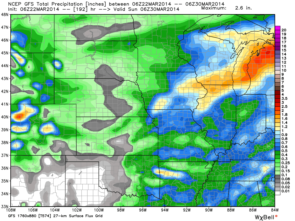
Big Rains For Mid/ Late Week. . .The Gulf will open up for business in the days ahead and this will keep our neck of the woods rather wet Wednesday through Friday. Periods of rain will fall Wednesday and Thursday, and temperatures will be cooler thanks to an easterly breeze. All in all, Wednesday and Thursday will be wet, raw days. We’ll get into some warmer air ahead of a strong cold front Friday and this will increase thunderstorm chances, including the potential of a couple strong storms. We think rainfall totals between Wednesday and Friday could reach between 1.5″ and 2″.
Chilly Weekend. . .A colder air mass will build into the region behind Friday’s front. While sunshine will return Saturday, temperatures will go backwards. Couple a strong northwest breeze into the mix and Saturday could be a pretty chilly day.
Upcoming 7-Day Precipitation Forecast:
- 7-Day Rainfall Forecast: 1.5″ – 2″
- 7-Day Snowfall Forecast: 0.00″

For weather updates and more “behind the scenes” data on the go, be sure to Follow Us on Twitter @indywx or become a Friend of IndyWx.com on Facebook!

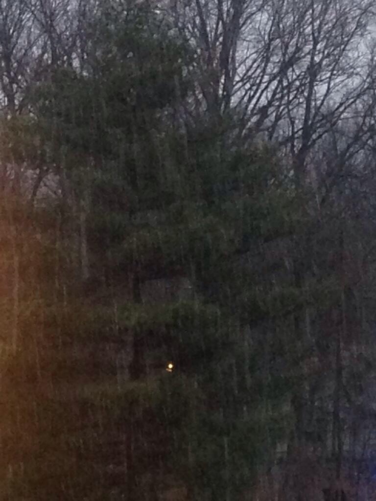
Big, wet snow flakes were falling fast and furious Saturday morning. John Salewicz sent in this photo of the heavy snow falling in Zionsville Saturday morning. Thanks, John!