Doesn’t Get Any Better This Time Of Year!
|
Thr. |
Fri. |
Sat. |
Sun. |
Mon. |
Tue. |
Wed. |
|
|
|
|
|
|
|
|
|
55/ 75 |
54/ 77 |
55/ 79 |
60/ 80 |
60/ 76 |
55/ 75 |
55/ 79 |
|
– – – |
– – – |
– – – |
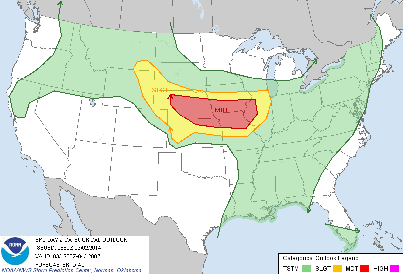
Moderate |
Heavy |
– – – |
– – – |
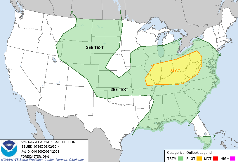
This time of the year, weather conditions simply don’t get any better than what we’ll enjoy over the next 72 hours. Expect bright sunshine, pleasantly cool temperatures, and unseasonably low humidity levels. Our next storm system is gearing up for the back half of the weekend and we’ll promise a wet and stormy time of things Sunday afternoon into Monday. Rainfall totals continue to look impressive (not what we need after a rainy week), as widespread 1-2″ totals look common in the Sunday-Monday time period. Another pop of dry, cooler air will blow into town Monday night into Tuesday.