Unseasonably Cool Stretch Of Weather Continues…
|
Thr. |
Fri. |
Sat. |
Sun. |
Mon. |
Tue. |
Wed. |
|
|
|
|
|
|
|
|
|
51/ 76 |
54/ 77 |
57/ 81 |
60/ 82 |
63/ 86 |
68/ 88 |
70/ 85 |
|
– – – |
– – – |
– – – |
– – – |
– – – |
Light |
Light |
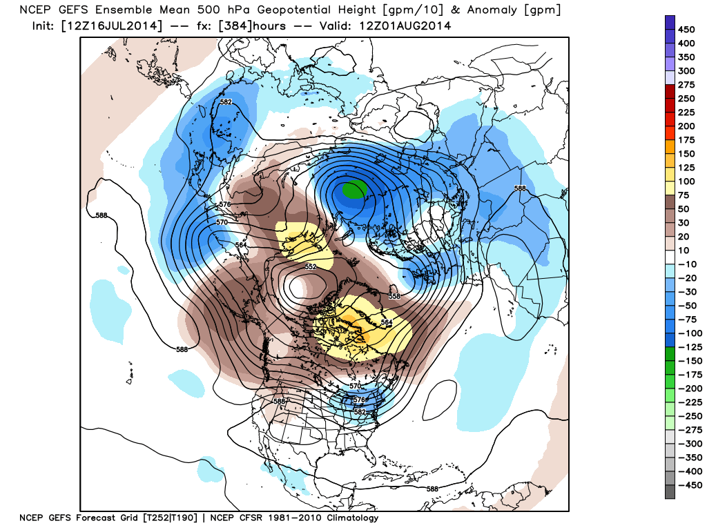
You’re not supposed to be able to see your breath upon stepping outside in mid July, but that’s exactly what’s taking place this morning (and the past couple of mornings) as unseasonably chilly temperatures have greeted us, including many down into the upper 40s away from the city this morning. Bright sunshine will be with us as we wrap up the work week with continued pleasant unseasonably cool conditions. Warmth and humidity will slowly increase over the weekend and we’re going to keep a close eye on a storm system that promises a wet time of things for our friends to our south. As of now, we think we’ll stay rain-free over the weekend, but we’ll continue to keep a close eye on this system. Rain chances will begin to increase here as we approach the early and middle part of the new work week as a cold front drops in.