Updated 01.15.24 @ 6:29a
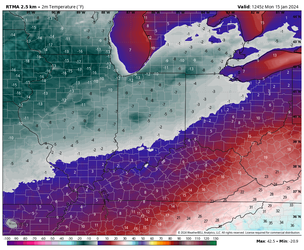
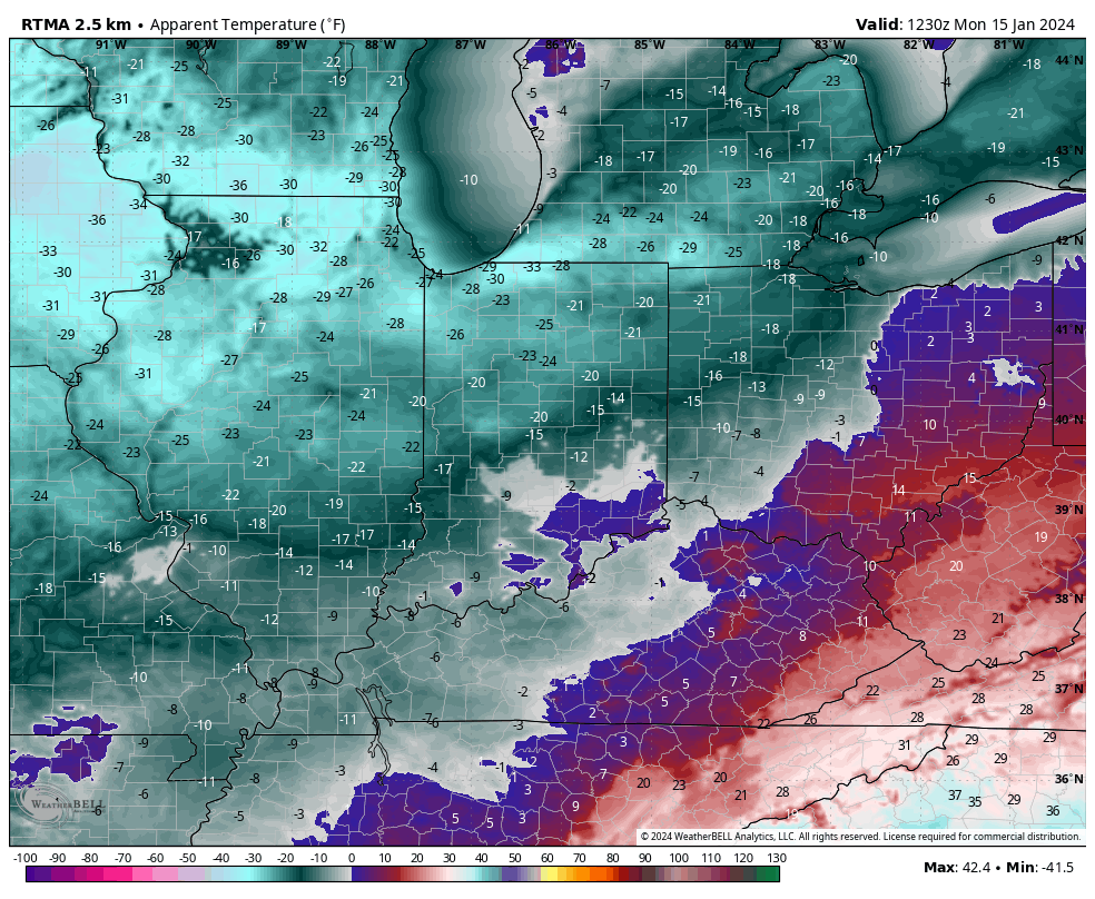
Officially, IND dipped to 4° below zero Sunday morning with a high of only 12°. We’re even colder this morning across the area, including double digit below zero readings north and 6° to 9° below zero for most central IN neighborhoods.


Another round of light snow will scoot through central IN tonight, accumulating anywhere from 0.50” to just under an inch.

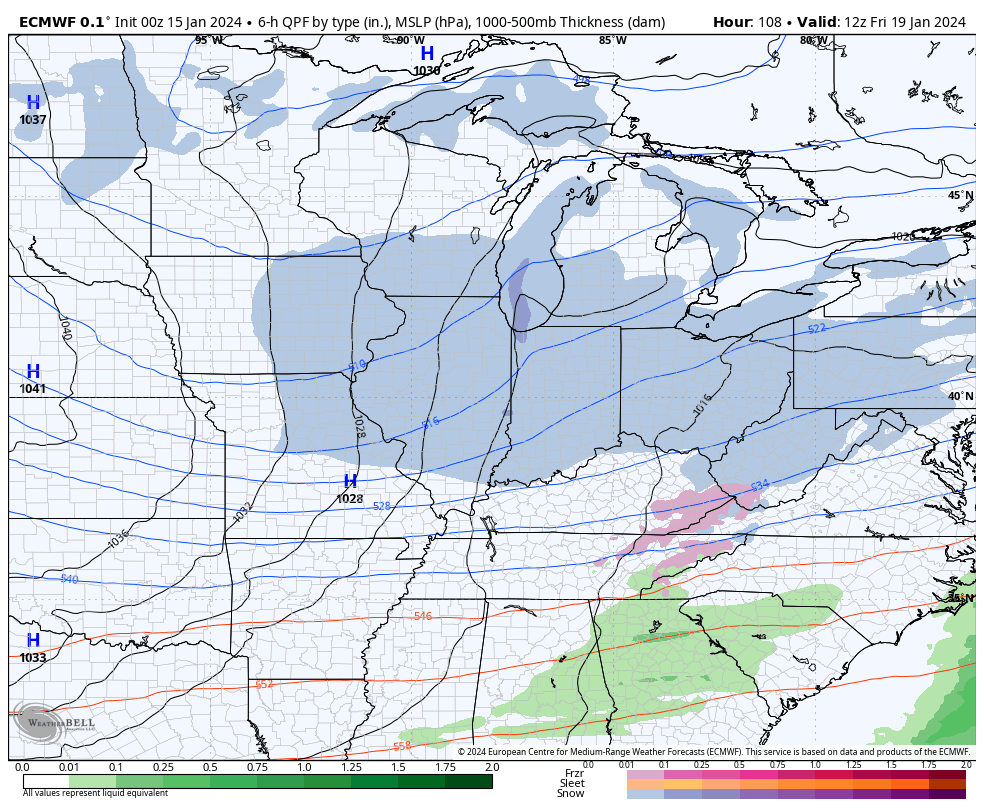
The next chances of snow come late week, in advance of arctic reinforcements for the weekend (we think we go back below zero over the weekend). We’re tracking Wednesday night into Thursday morning and Thursday night into early Friday for the next rounds of snow- both of which should be light events but will add up to a couple if not several inches when all is said and done (2”-4” for most is a reasonable call from this distance).


That fresh snowpack will lay the ground for a renewed batch of arctic air for the weekend, including lows back to below zero and highs in the 10s.
