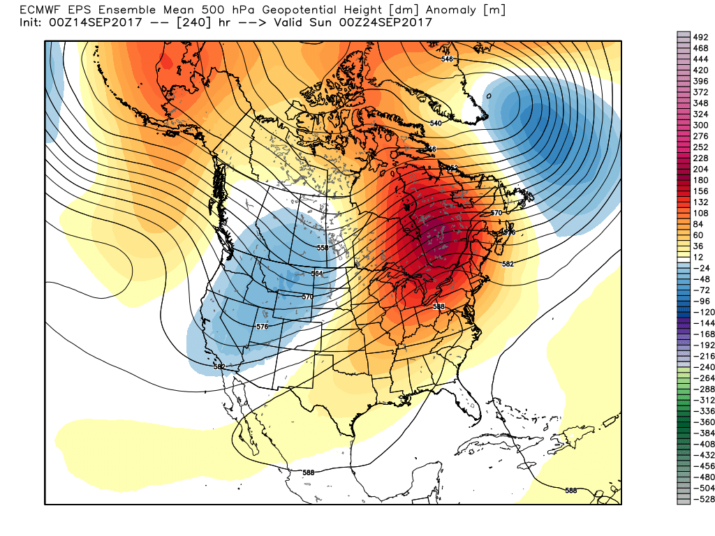
Through August and the first half of September, the mean trough position has been located across our part of the country. This has helped lead to an extended period of below normal temperatures and an early start to fall.

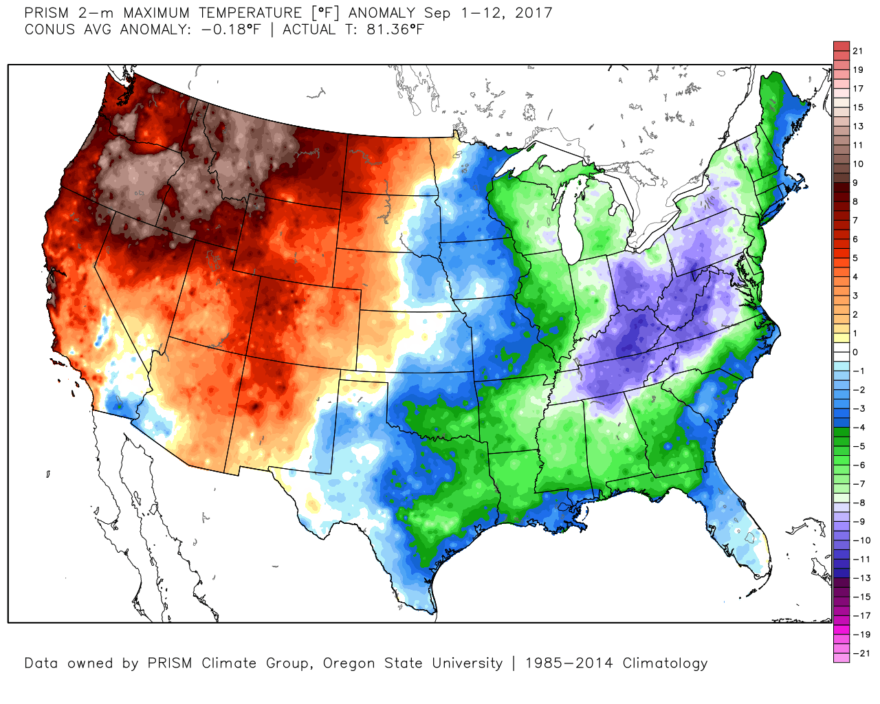
Well below normal temperatures have dominated the first half of September.
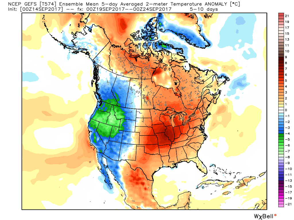
You knew summer wouldn’t go away without fighting back at least once more, didn’t you?! Sure enough, over the next couple of weeks, ridging will expand across the east and this will provide late-season summer heat in the exact area where it’s been coolest month-to-date.
 This will deliver temperature anomalies 5° to 10° above average as we traverse the back half of the month, including highs in the mid-to-upper 80s.
 Meanwhile, our friends out west (where it’s been warm, month-to-date) will begin to experience early winter-like conditions, including high elevation snowfall across the central and northern Rockies.
Looking ahead, after our period of summer-like conditions comes to an end late month, a more transient (active) pattern should develop. This will serve to do a couple of things:
- Lead to a rather wet regime
- Pops of cold air become increasingly likely behind FROPAs
It’ll be interesting to see what the NEW Weeklies look like today, including the European and JMA. We’ll post on our thoughts with both later.
