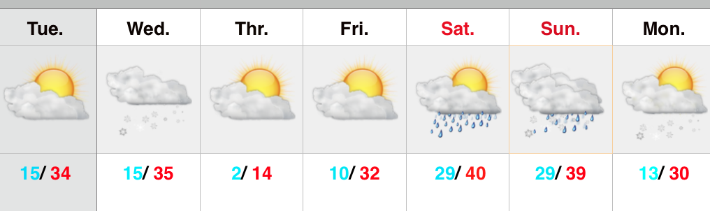
Models are handling the arctic front and associated wave differently from one another, but we tend to favor more of a GEM/ European blend. As it is, even the GFS is beginning to see the snow threat. The NAM (below) sees snow overspreading the region Wednesday afternoon and evening.
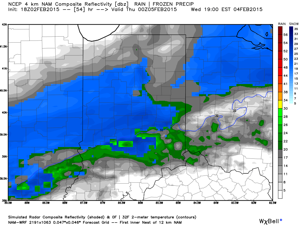 This is a different set-up than anything we’ve seen this winter as the majority of precipitation develops on the backside of the frontal boundary. An “ana front” is one that features clouds and precipitation developing behind the frontal system. The air behind this boundary will be of arctic origin and lead to very high snow ratios- meaning it won’t take much moisture to “fluff” up a few inches of snow across the region. Strong and gusty winds will also develop Wednesday night and temperatures will plummet (single digits or below zero Thursday morning). Blowing and drifting will be a concern. Stay tuned as we continue to look over the data.
The other item on the agenda has to do with Sunday. Once again we’ve got another major model battle on our hands. Taken verbatim, the GFS would imply a relatively boring weather weekend with some clouds and light rain (possibly ending as light snow Saturday night into Sunday). On the other hand, the European model implies a winter storm threat for the Ohio Valley Sunday….
Needless to say, there’s a lot going on and despite the headaches of last weekend, we may be back in a similar position for the upcoming weekend. And you thought you wanted this job?! 🙂
 Much more later today, including your updated 7-day! Have a fantastic Thursday!