Heaviest concentration of storms Tuesday was along the I-70 corridor and points south. We think today coverage of rain and thunderstorms will be more widespread across the state…
We’re off to a cool and quiet start this morning, but think things will turn rather busy yet again as early as the early-mid afternoon hours. Unsettled conditions will continue through the night.
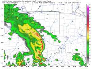
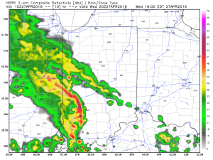
Latest scans of the HRRR future-cast radar product suggests we need to monitor for high wind potential during the early to mid afternoon hours. We’ll keep a close eye on this.
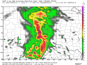
 The high resolution NAM future-cast radar is slower, but also shows strong to possibly severe storms into central IN late tonight.
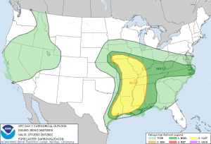
 The current SPC outlook highlights far southwestern IN for the chance of severe weather today. Don’t be surprised if this is expanded northeast with later updates today.
 Rainfall potential today-tonight should feature many neighborhoods accumulating an additional inch, with some locally heavier totals.

