After a day of spring-like warmth and thunder, Old Man Winter will stage a comeback Wednesday. Let’s get right to our snowfall forecast:
 Timing:
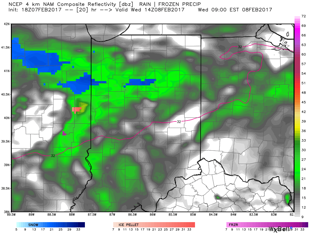
Snow will overspread north-central parts of the state Wednesday morning. Most of this “initial round” of snow will remain north of the city, itself.
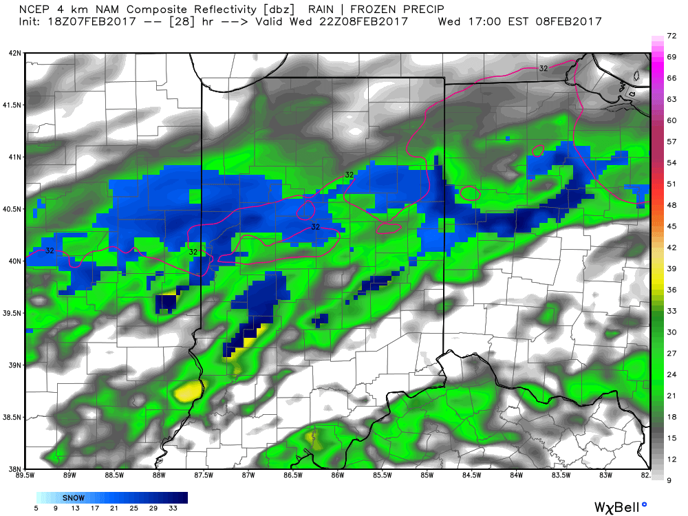
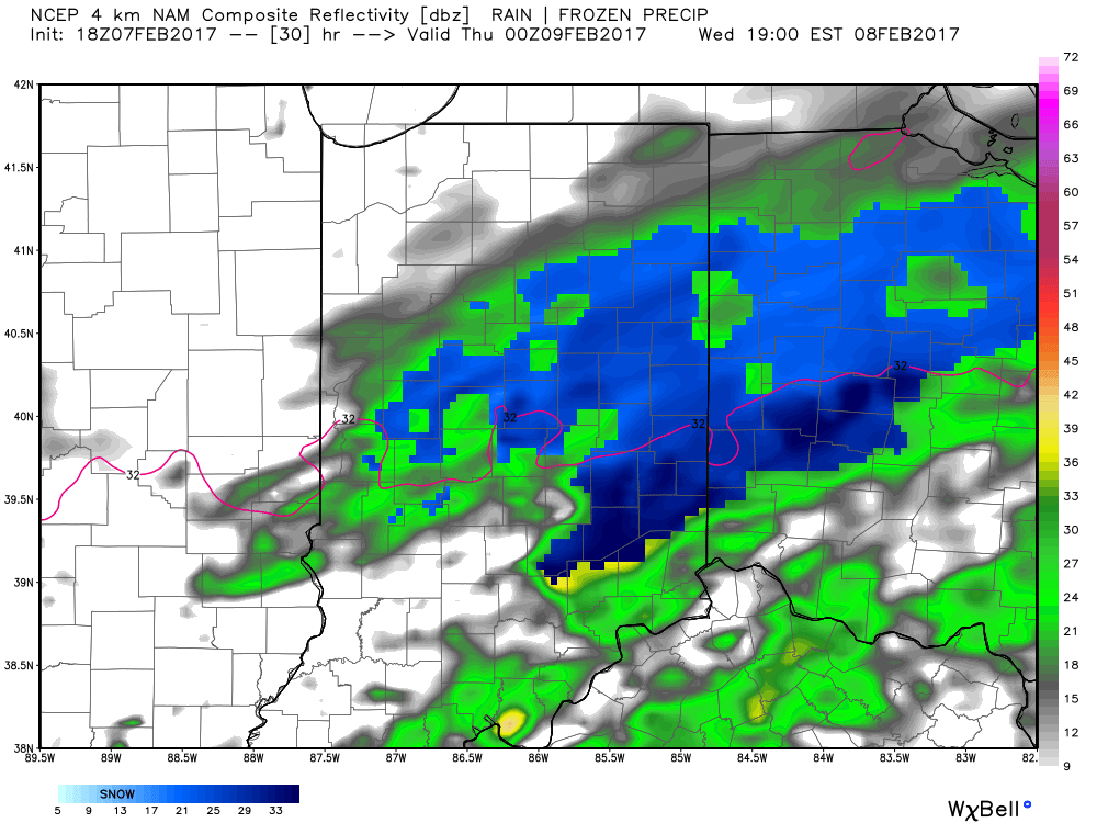
 It’s not until we push into Wednesday afternoon and evening that more widespread snow will move through central Indiana, including Indianapolis.

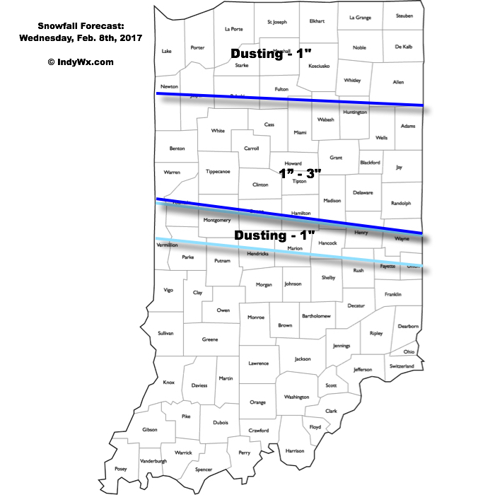
 Periods of moderate to locally heavy snow can be expected through central and north-central parts of the state Wednesday evening, especially between the hours of 3p-7p. This will be a wet snow and though the snowfall intensity should be impressive at times, it’ll have a hard time accumulating from what it otherwise could be if the ground was cold. With that said, we do anticipate snowfall rates to overcome initially marginally cold air and “warm” surface temperatures. Our forecast calls for a dusting to 1″ for the city, itself, increasing to 1″-3″ north of the city- encompassing most of north-central Indiana. Roadways will likely become slushy with wet snow accumulation Wednesday evening.
Brief Shot Of Arctic Air:
Temperatures will fall into the middle-upper 10s for most of central Indiana by Thursday morning with highs Thursday only topping out in the lower to middle 20s. The arctic air won’t stick around as we zoom back into the lower 40s Friday after a very cold start (upper 10s).
