Your complete weekly discussion can be found in the post below from last night, but here’s a recap of our current 7-day:
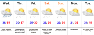 Showers will expand in overall coverage as we progress through the late morning hours, but shouldn’t amount to much (0.10″ for a few neighborhoods). We return to a drier theme this afternoon.
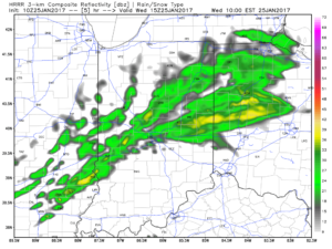
10a forecast radar
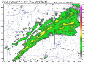
11a forecast radar
A mild and windy afternoon is ahead, including gusts close to 40 MPH and highs in the lower-middle 50s.
Colder air will return tonight and remain in place through the second half of the work week, including the upcoming weekend. Temperatures will grow cold enough Thursday morning for scattered snow showers.
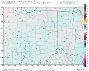
Low-mid 30s Thursday morning
Upper level energy will keep scattered snow showers going late week and on into the weekend. Models can struggle on timing and specifics of the pieces of energy and we’ll keep an eye on things into the weekend. Potential is present for a more “robust” clipper Sunday that could yield better coverage of steady snow showers.
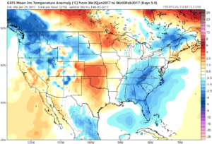
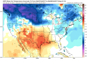
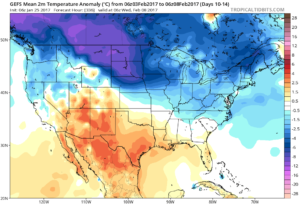
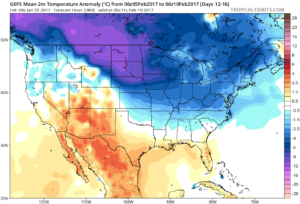
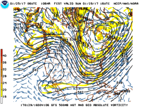 Longer term, the GFS ensemble continues to show the cold growing deeper and stronger for the region as we progress into early February. Winter is far from over.
