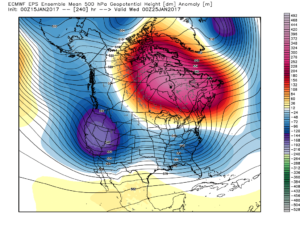
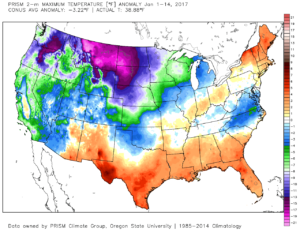
1.) January, month-to-date, is running slightly above normal at IND (+1.2 F) and nearly 1″ above normal in the precipitation department. Keeping true to the winter, overall, greatest cold departures are centered over the northern Plains and northern Rockies.
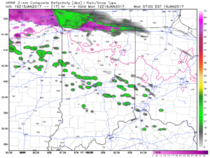
 2.) Showers will creep north overnight into Monday morning, but shouldn’t amount to much. They will be scattered in nature across central Indiana.
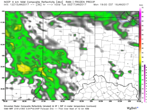
 3.) More widespread rain and embedded thunder will develop Monday night into Tuesday morning. This should amount of widespread half inch to one inch totals across the viewing area.
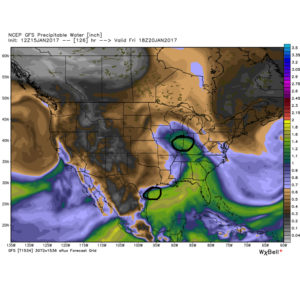
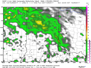 4.) A moist southwest flow will help push a warmer regime northward for the second half of the week. Though warm, we’ll also have to deal with periods of rain as disturbances track northeast. We circle Friday and Sunday as the wettest days and remain optimistic Saturday will feature dry and unseasonably warm conditions (lower-middle 60s). Between the rainy days Friday and Sunday, additional rainfall totals of 1″-2″ seem like a good bet.
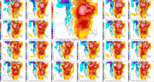 5.) The evolution of the pattern just beyond the 7-day period we’ll begin to take on an increasingly wintry look and we remain confident on a flip back to wintry conditions as we roll through the last week of the month. We’ll have to keep a close eye on a storm system in the 8-10 day period. It’s obviously way too early to discuss specifics, but this will be the time the pattern is beginning to turn back towards a wintry regime…
