A cold front will slide through central IN Friday, but heavy rain and widespread storms aren’t expected as the front slides through the region. Instead, we’ll keep mention of scattered showers before drier air returns Saturday (with lots of sunshine).
For the purpose of this post, we’re more focused on the all-important Sunday-Monday forecast. Sunday will likely dawn dry, but trends are for wetter times late Sunday into Monday. A slow moving area of low pressure is forecast to track out of the central Plains Sunday into the Ohio Valley Monday. Copious moisture will be affiliated with this area of low pressure, including a severe threat to the south of the storm track. Heavy rainfall will fall along and north of the track of the low. While we still have a couple days to fine tune things, it’s becoming increasingly likely that portions of the forecast area (especially southern and central areas) are impacted by heavy rain later Sunday into Monday.
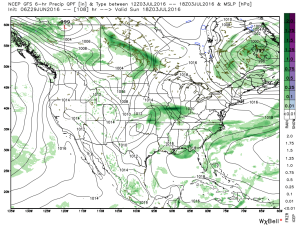
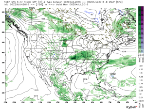
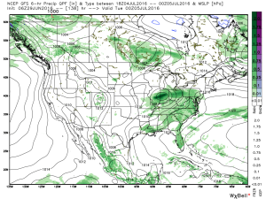 We note ensemble support, as well.
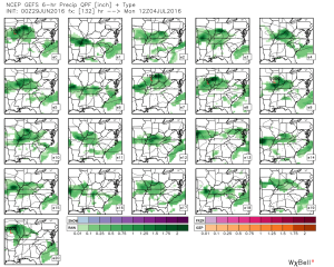 Rain totals will likely be hefty for some, including widespread 2″+ totals where the axis of heaviest rain falls.
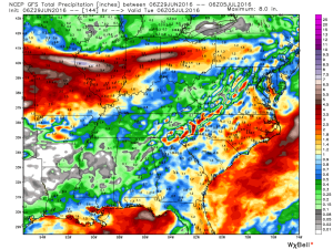
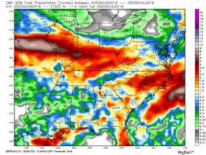 Stay tuned as we continue to look over data and update the important Independence Day weekend forecast.
