- Warmth is the big story now
- Showers and t-storms increase
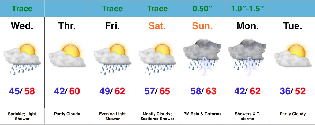
Relatively quiet weather remains in the near-term period. A fast moving disturbance will cross the state this morning and could spark a light shower or sprinkle, but we’ll get back to increasingly sunny conditions this afternoon and evening.
Moisture will begin to return as we close the week and head into the weekend, but it’s really not until the second half of the weekend that we begin looking at more widespread rain.
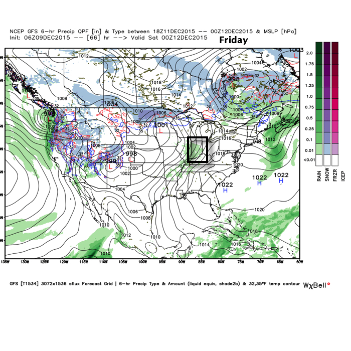
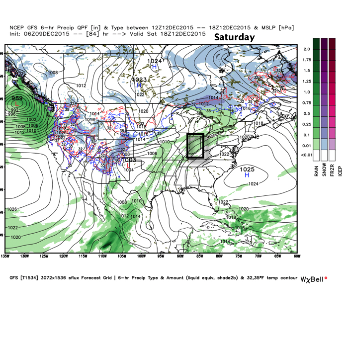
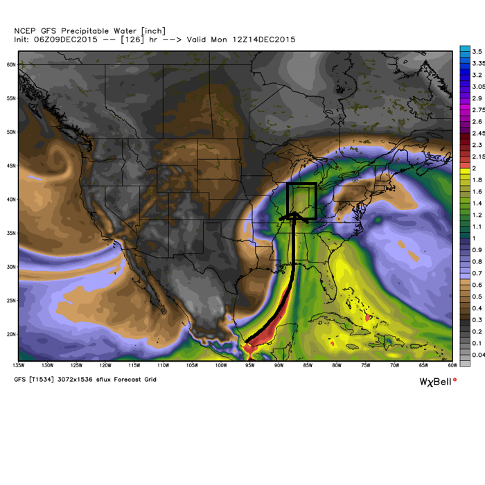
As a SW flow begins to transport Gulf of Mexico (GoM) moisture north, a light passing shower is possible Friday evening and Saturday.
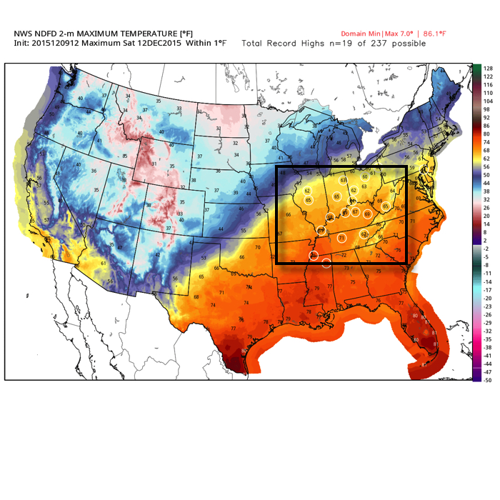
Despite the increase in cloudiness and threat of a passing shower, it won’t keep us away from flirting with records Saturday, and note the widespread portion of the Tennessee and Ohio Valley that will also be in jeopardy of setting new records.
Much better rain and storm chances ramp up Sunday afternoon into Monday.
PWATs (precipitable water values) increase dramatically during the aforementioned time period and could help fuel locally heavy rains during that time period, particularly with embedded thunderstorms.
Cooler air will arrive early next week, but remain significantly above normal. We’ll discuss the longer range a bit later…

