Thursday will begin the major shift from relatively mild and stable weather that we’ve enjoyed for the past week and a half to one that’s drastically different, and much more resemblant of November by Saturday.
First rain drops will likely splatter on wind shields as early as the morning commute across central Indiana.
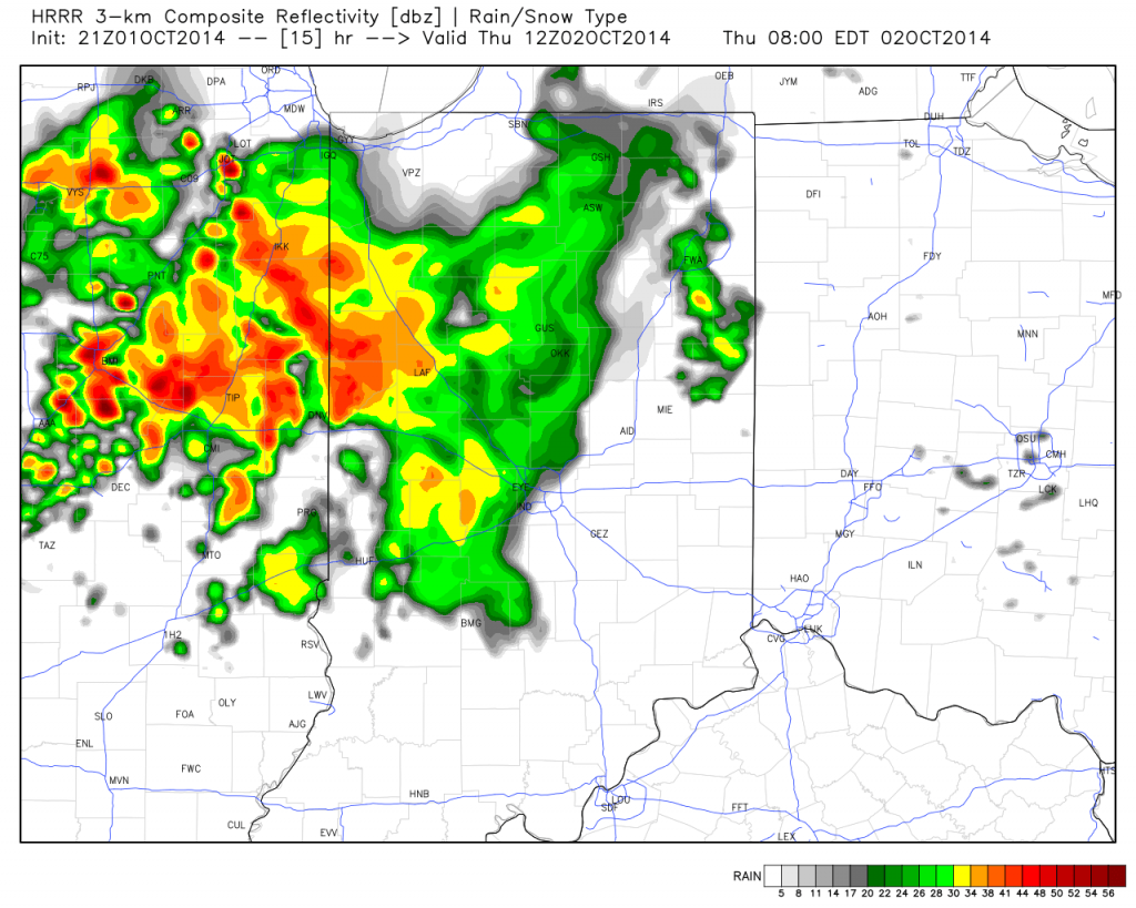
We’ll then see a “lull” in the action through the majority of the day before more widespread showers and embedded strong to severe thunderstorms rumble in Thursday night into Friday morning. Here’s a look at forecast radar Friday morning.
The Storm Prediction Center does highlight western sections of the state for a Slight Risk of severe weather Thursday. We’ll continue to monitor things closely. Localized damaging straight line wind is the primary severe threat in the highlighted risk area.
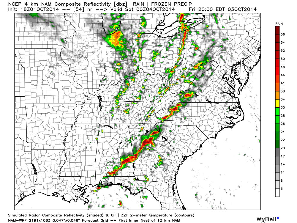
We also want to highlight Friday afternoon and evening for another round of showers and embedded thunder.
Rainfall totals should reach between 1″-2″ with locally heavier amounts between the period of Thursday morning and Saturday morning.
The rain and gusty storms will fall ahead of a strong autumn cold front that will send temperatures on a rapid downward trend come Friday night. A deep trough will carve itself out over the eastern region Saturday and ultimately have temperatures all the way to the Gulf Coast feeling November-ish by Saturday (perfect football weather, IMO).
By the way, the record low max will be in jeopardy Saturday (49 degrees, courtesy of Sean Ash) as many central Indiana communities may struggle to make it out of the 40s for highs with considerable cloudiness, pesky drizzle, and gusty winds. Have the jackets and sweaters ready, friends!


