Updated 03.10.24 @ 8:21a
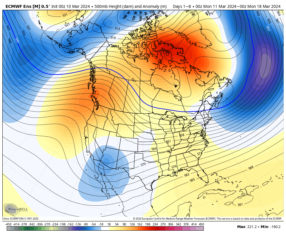
Another unseasonably mild week awaits, but one thing is becoming increasingly clear: we’re not finished with the cold yet. The transition to a colder time of things next week will come with unsettled conditions late this week and the weekend (I know, timing isn’t on our side).


Forecast Period: 03.10.24 – 03.17.24
The period will open with dry and seasonably chilly conditions before a southwesterly flow takes hold and helps promote yet another quick warm-up in the work week ahead. A weak and fast moving system may deliver some scattered showers midweek but the lions share of our moisture this week will come Thursday and Friday. Colder air then pours in here over the weekend with the potential of snow getting involved by this time next week.
Upcoming Storm Dates to keep an eye on:
- 03.13
- 03.14 – 03.15
- 03.16 – 03.17
*10-Day Rainfall projection: 0.75” – 1.50”
Leave a Reply