Updated 01.16.24 @ 12:34p
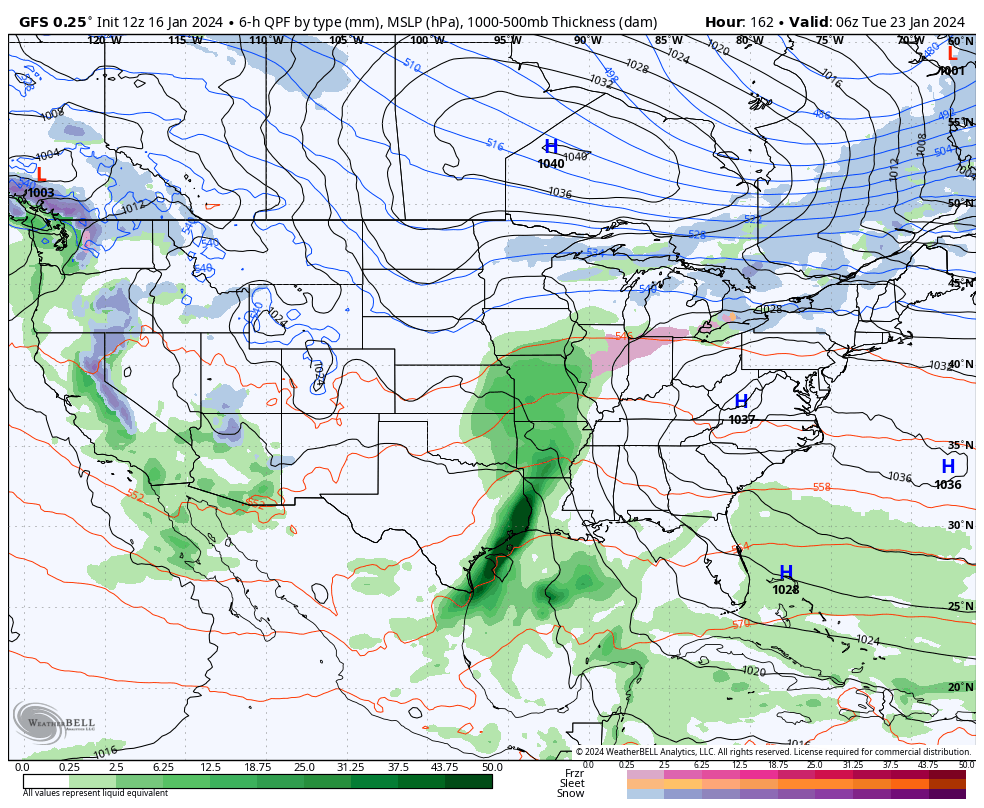
Today and most, if not all, of Wednesday will be plain ole cold but at least precipitation free. We’ll have to watch short term guidance closely for a band of snow that will develop across northern Indiana overnight and into Thursday morning. We think this snow band will sink south into at least north-central Indiana after sunrise Thursday before falling apart likely around Indianapolis. A quick 1”-2” of snow is likely across northern and north-central Indiana Thursday morning.
Our next opportunity of snow (area wide) will move in Thursday night and Friday morning. This will be a much higher ratio type snow (think 20:1) than typical with the cold, arctic airmass in place. We should easily be able to accumulate 2”-4” with this event, with the potential of a couple 4”+ reports. (Snow removal clients, plowing and salting will be activated by Thursday evening).

A fresh round of bitter, arctic air flows in as we kick off the weekend. With a fresh snowpack, another round of subzero lows should be expected. Look for highs in the 10s Saturday and 20s Sunday. Wind chill values will dip to around -20° as we kick off the weekend.
Though a moderating trend will kick in in full force next week, we’ll have to watch for the potential of a freezing rain and/ or sleet event Monday night into Tuesday (arctic air is always slower to erode than usually modeled) and a true shift to a wet pattern for the middle and latter part of next week.
Leave a Reply