Updated 11.25.23 @ 9:33a
We’re waking up to cold (lows bottomed out in the middle 20s for most central Indiana neighborhoods) but dry conditions. While we’ll deal with more clouds today, dry conditions will hold today and tonight.
A weak system will move through the Ohio Valley Sunday with a wintry mix of wet snow and a cold rain across central Indiana, mostly rain downstate, and all snow across north-central and northern Indiana. Sunday will dawn dry but light precipitation will overspread the state from west to east through the mid morning hours. We don’t envision any sort of snow accumulation with the exception of far western central Indiana (dusting) northeast into the northern 1/3 of the state (1”-2” amounts on grassy and elevated surfaces). Generally speaking we think the accumulation potential is greatest from Rockville to Kokomo, and up to Fort Wayne. Light precipitation will end as a brief period of light snow Sunday night into Indianapolis but “light” is the key word and we don’t expect any accumulation concerns in the city, itself.
The coldest air so far this season blows into town as we open the work week. In fact, highs may struggle to reach freezing Tuesday, including morning lows into the 10s.

After Sunday, from a precipitation perspective, we’re talking about a very dry and quiet regime until we get to Friday. We’ll close the work week with a new storm system that will deliver a rainy Friday.
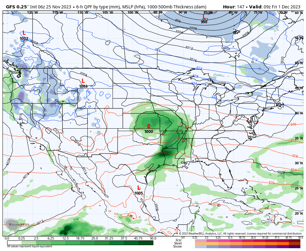
By this point, a transition to milder times will be underway so we don’t expect any sort of p-type challenges with this particular system.

Leave a Reply