Updated 05.06.23 @ 7:11a
A new pattern is emerging (at least for the time being) and will offer up a much more typical feel by May standards, along with periods of storms as we navigate the early portion of the new week.
The good news is that our Saturday continues to look dry.
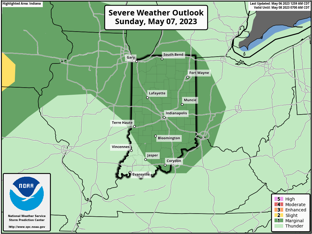
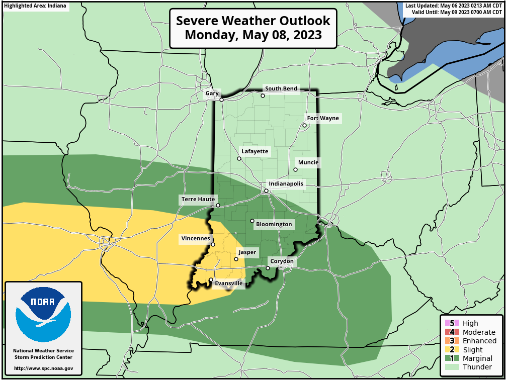
Attention will shift off to our west and northwest later this evening for the potential of local overnight rumbles on into Sunday morning. This will be the onset of more of an unsettled pattern, including multiple storm complexes to track at times through Tuesday.

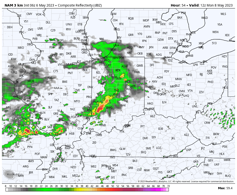
Severe weather parameters certainly aren’t “off the charts” but there will be enough energy and moisture to signal a localized damaging wind threat Sunday and Monday with any storm cluster(s) that flare up.
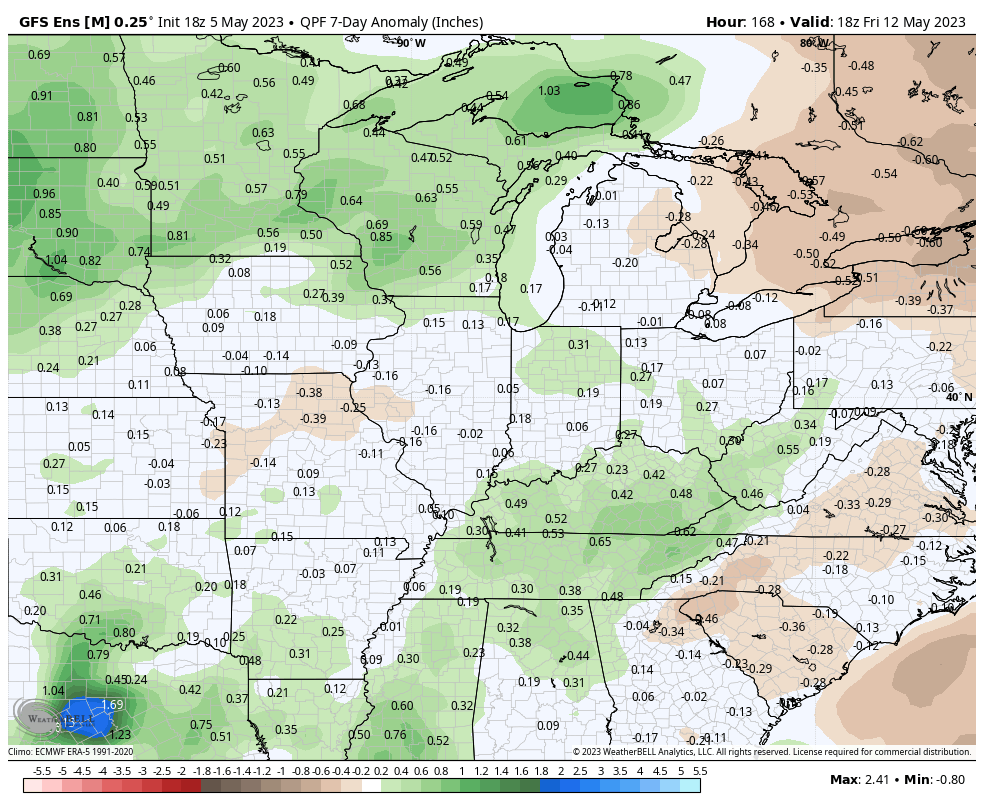
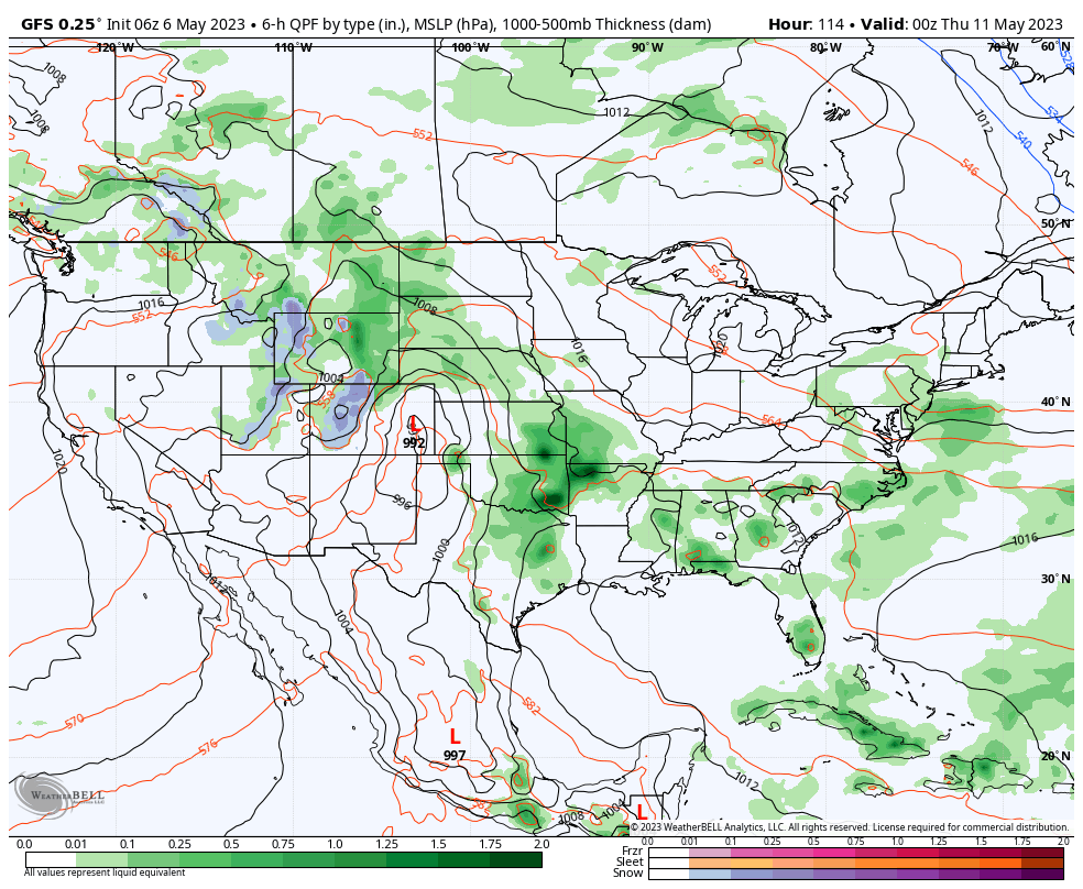
Rainfall amounts won’t be uniform but localized 1”+ amounts can be expected with more of a general 0.50” to 1” area-wide rain in the Sunday through Tuesday timeframe.
Drier air and a brief ridge of high pressure will eliminate rain and storm chances Wednesday through Friday.

Unfortunately, as it looks now, moisture levels will rise significantly heading into Mother’s Day weekend and a return of unsettled weather will follow during this time period.
Leave a Reply