Updated 04.13.23 @ 6a
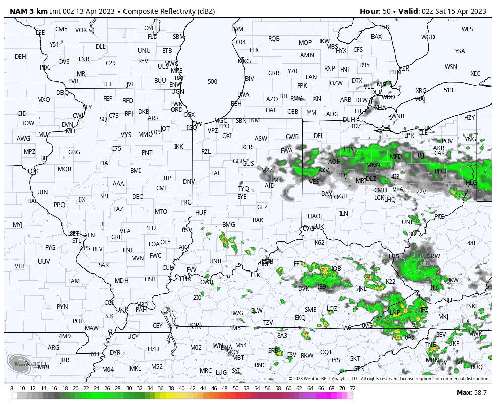
I. We’ve got one more boring wx day on our hands before conditions slowly begin to turn more active as we head into the weekend. Short-term, high resolution data suggests a couple scattered showers or storms are possible Friday afternoon and evening. While the best forcing will remain to our south and east, we may be able to crank out a couple downpours as moisture levels increase through the PM. This certainly isn’t anything to cancel plans over, but just prepare for a passing downpour in spots.
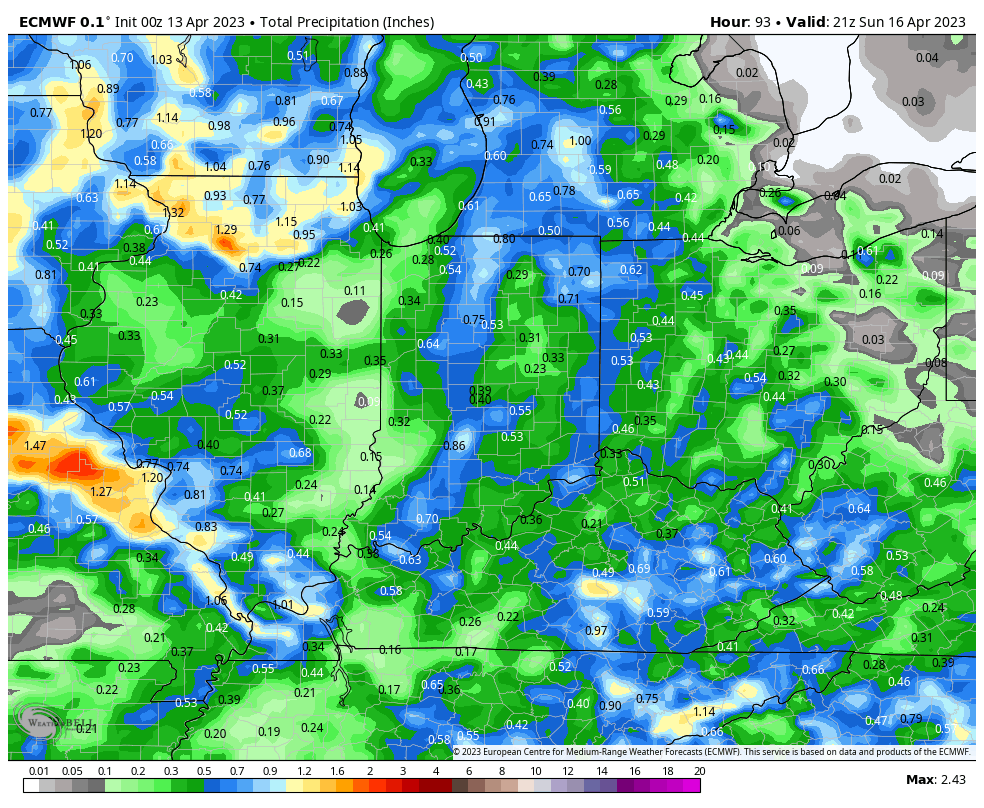
II. Better chances of more organized rain and thunder will arrive Saturday evening into Sunday morning. While this still doesn’t appear to be a particularly heavy event for most of the region, guidance continues to trend wetter with this system. What all week looked like a 0.10” to 0.25” type situation now very well may end up in the 0.50” to 1” range. Not terrible for a region running drier than average month to date.

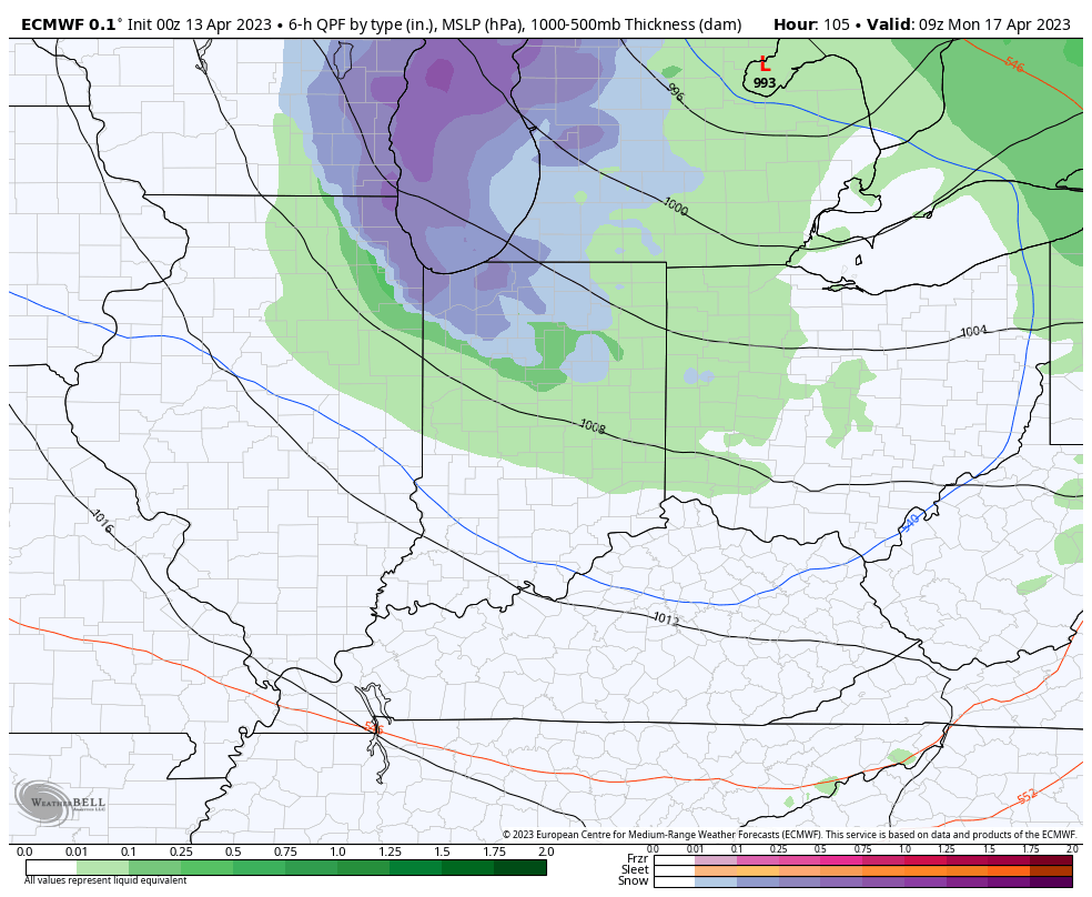
III. As colder air sweeps in behind the system, rain will mix with wet snow across northern parts of the state as we open the new week. The rest of us can expect a couple days (Monday and Tuesday) with highs in the mid to upper 50s and lows in the mid to upper 30s.
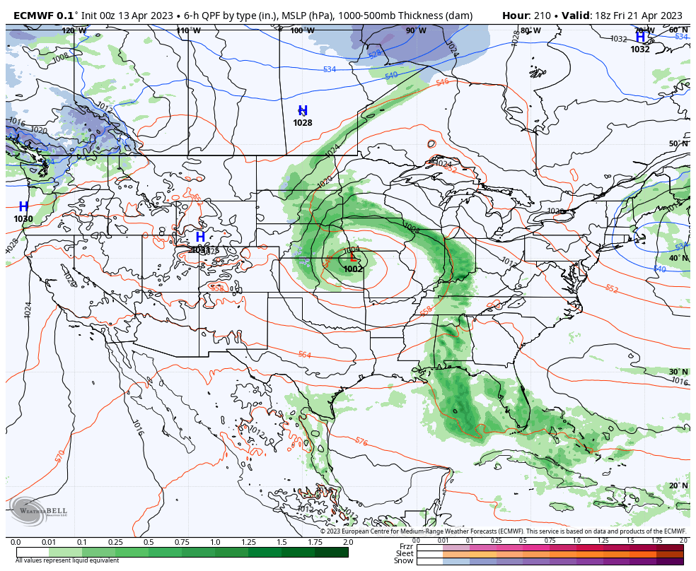
IV. The early portion of the work week will feature a return of dry weather but it’s safe to say next week won’t be nearly as uneventful as a whole. We’re tracking a midweek system that will deliver a few showers Wednesday and a more organized storm system that should provide a better coverage of rain and embedded thunder to close the work week. More on all of this and a long range look ahead in tonight’s Client video discussion!
Leave a Reply