Updated 12.25.22 @ 8:11a
From our family to yours, here’s wishing you a blessed and very merry Christmas!
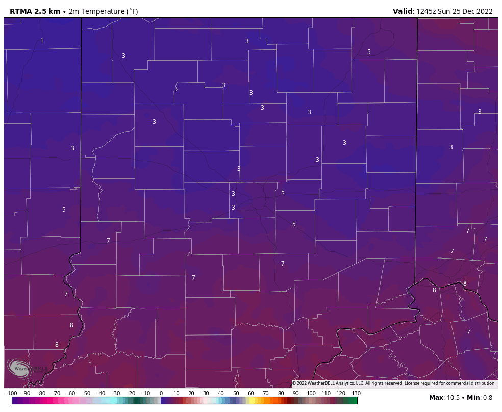
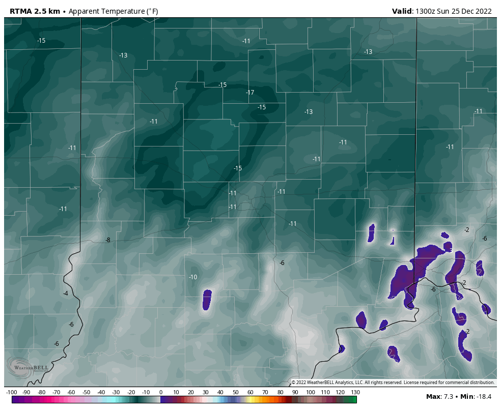
Our Christmas morning is getting off to another frigid start, with all of the immediate region featuring temperatures just above the 0° mark (wind chill values remain well below zero).
All but far northeastern IN is at least seeing sunshine this morning. We can thank that lake influence for keeping our northeastern neighbors overcast this morning.
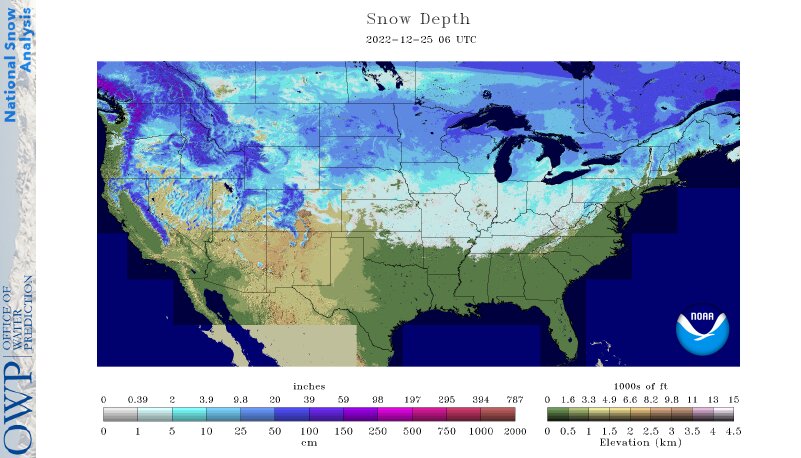
53% of the country is enjoying a White Christmas. That’s the most since back in ’09 when 63% of the country was snow covered on Christmas Day.
Speaking of snow, our next snow maker will arrive overnight and remain with us through our Monday. In general, we anticipate 1″ to 2″ of snow with this system with a couple of 3″ reports. While certainly not a heavy snow event, expect slick travel Monday thanks to the recent frigid stretch of temperatures. Most persistent snow will likely fall from late morning into the early afternoon across central Indiana.

A couple of days of uneventful weather will follow our snow maker. Sunshine will return Tuesday. While still cold, temperatures will moderate close to the freezing mark for daytime highs.
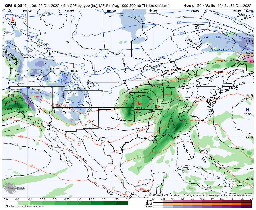
Our airflow will then back around to the southwest Wednesday and this will be the beginning of a significant period of moderation. “Zoom, zoom, up and away” is how we’ll label the temperature regime heading into next weekend, including New Year’s Eve with highs into the lower 60s for many. Talk about another infamous “snap back” warm-up following an arctic intrusion. (Don’t worry winter weather fans, we’re already eyeing the return of our next cold, snow pattern by mid-January).
The trade off to the warmer weather? An extended period of gloom. Clouds will increase Wednesday and eventually give way to drizzle that will turn into periods of rain Thursday through next weekend. The heaviest rain will likely fall New Year’s Eve as an area of low pressure lifts north into the western Great Lakes.

Leave a Reply