Updated 08.19.21 @ 7:37a
Before we look at the pattern ahead, let’s take a look back at the first few weeks of the month and stack it against our ongoing August Outlook.
Temperature anomalies– month-to-date

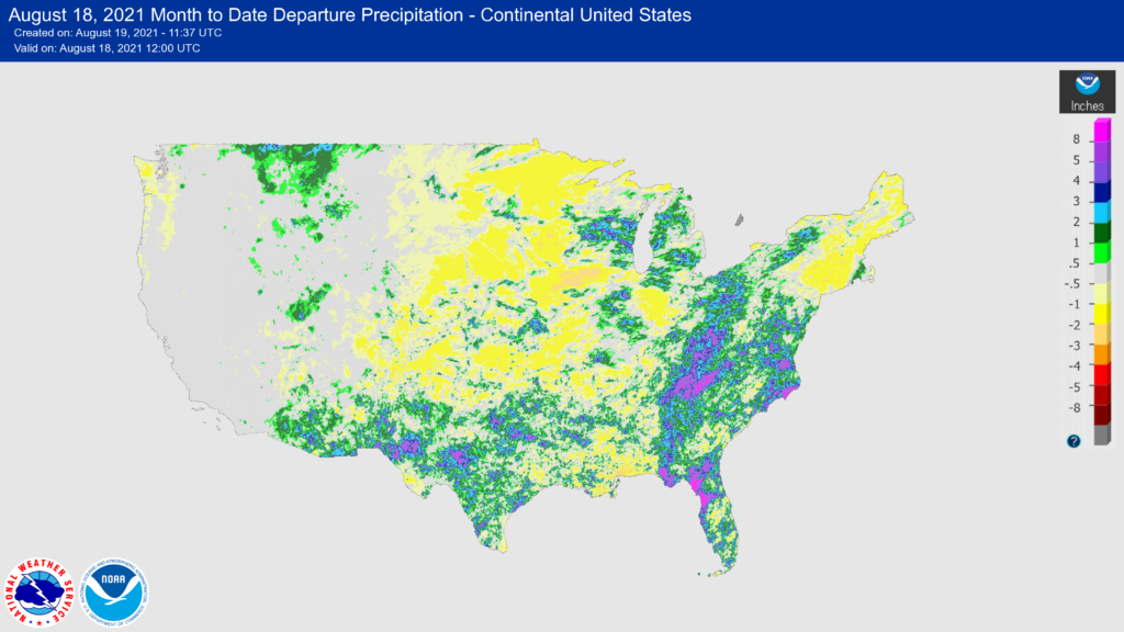
Precipitation anomalies– past 14 days- (will update with end of month when available).
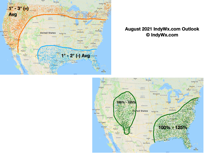
IndyWx.com August 2021 Outlook- originally posted here on July 31, 2021.
Month-to-date, Indianapolis is running 0.7° above normal in the temperature department and 1.69″ below normal from a rainfall perspective.
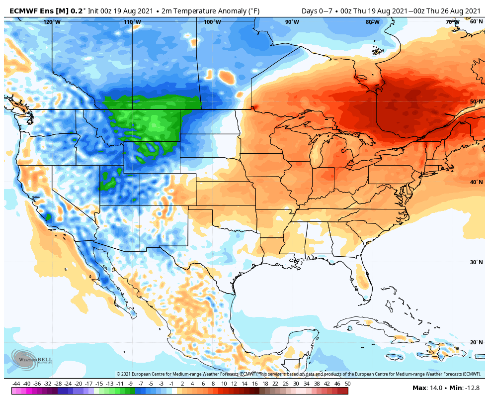
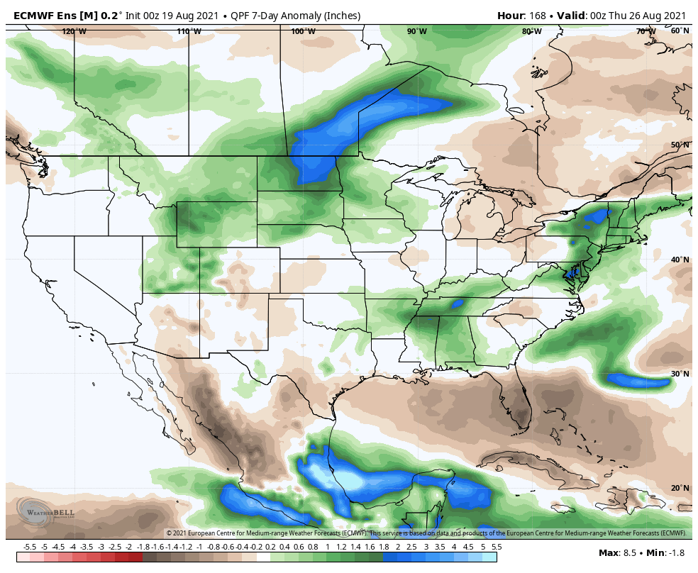
As we look ahead, the idea here is that the upcoming week will feature a nice stretch of hot conditions (lower 90s several days) along with humidity levels that won’t allow overnight low temperatures to cool that much (several nights next week likely won’t drop lower than the lower 70s). For perspective, this will be about 6° to 8° above normal. Isolated to widely scattered showers and thunderstorms are possible, but most of the upcoming weekend will remain free of any sort of widespread rain and storm coverage. For those backyards longing for better rainfall coverage, we’ll keep a close eye on the possibility of a couple of storm clusters that may drop in from the northwest early to middle parts of next week (very low confidence at this distance).
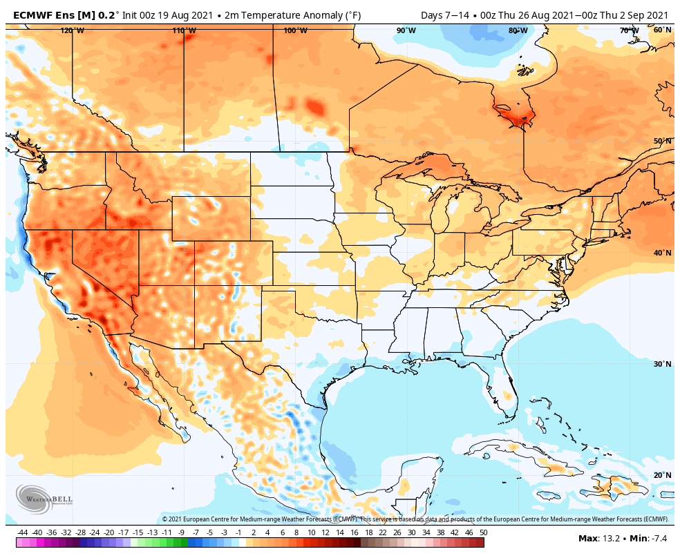
Upcoming 7 days

The pattern is likely to then go through a bit of a transition as the ridging pulls back to the west and at least a piece of the trough transitions into the Ohio Valley. The period will likely end on a slightly cooler than normal note as we close the month and open the first couple of days of September given this evolution.


Leave a Reply