Updated 06.13.21 @ 8:33a

Forecast Period: 06.13.21 through 06.20.21
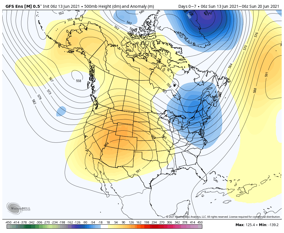
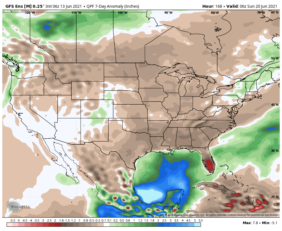
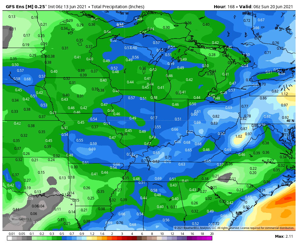
While not AS hot and sultry as Saturday, today will once again flirt with 90° across most of central Indiana under a mostly sunny sky. If you’re a fan of the heat, enjoy today as a transition in the overall pattern will deliver a much less humid and cooler airmass to our neck of the woods throughout the majority of the upcoming week (and what is looking more and more like beyond). We’ll track two cold fronts that will push through the region between Monday and Tuesday afternoon. Both of these frontal passages should be mostly uneventful from a precipitation perspective (only an isolated shower or storm is expected). As we look ahead, somewhat better chances of scattered showers and thunderstorms look poised to impact our region Friday (30% to 40% aerial coverage) as yet another cold front moves through. This will set us up for drier conditions once again for Father’s Day weekend.
Leave a Reply