Updated 06.06.21 @ 8:28a


Forecast Period: 06.06.21 through 06.13.21
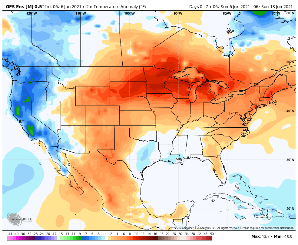
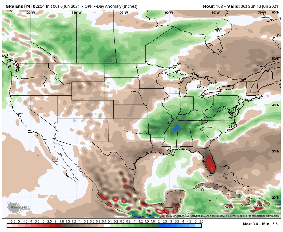
Our weather pattern will be dominated by a stubborn upper low moving slowly northeast out of the southern Plains. Eventually, this upper low will get entangled in the westerlies and begin to lose influence on our weather towards the tail end of the week. Before that, we’ll notice a rather marked difference in the type of airmass this week compared to what we’ve seen of late. A deep tropical flow, straight out of the Gulf of Mexico, will bring moisture-rich air into the Ohio Valley, including dew points that will approach the oppressive level (65° to 70°). While daytime highs will be kept cooler with the clouds and rain around, overnight lows will be elevated with such a humid airmass in place. A daily dose of showers and thunderstorms can be expected in this pattern- most numerous during the afternoon and evening hours. Given the humidity, locally heavy rain is a good bet at times. While coverage of showers and storms should slowly begin to diminish towards Friday and Saturday, we’ll still keep mention of scattered storms in our forecast into next weekend.
