Updated 02.05.21 @ 7:18a
Where to begin?! Simply put, the pattern over the next 2 weeks is a winter weather lover’s dream setup. Does that mean central Indiana has to “cash in” on every event? Negative. In fact, by next weekend, we believe the Deep South will even get in on the wintry fun (outside of the higher elevations that have been doing quite well this year). That said, systems will be targeting our general area fast and furious and require us to remain on our toes. Given that a more prolonged period of cold is developing, we should be able to build a nice snowpack for outdoor winter enthusiasts over the next 7-14 days.
The setup is all thanks to a persistent negative to deeply negative AO and the associated high latitude blocking. The Pacific pattern is also changing to allow more meaningful cold (truly arctic air is getting involved in the pattern) into the East with staying power. We can thank the now negative EPO for that. That leads us to the PNA. A negative to even neutral PNA will continue to put resistance on the pattern and result in southern ridging at times. That’s especially true early on in this regime. That puts the Ohio Valley in the cross hairs of these systems. As the arctic air takes hold, I still believe eventually we’ll see a more suppressed storm track for a time but that likely doesn’t develop until late next week. Before that, we have multiple storms to track and a snowpack to build. 🙂
First up is an arctic wave that arrives Saturday evening. This is a system that should deposit 1” to 3” of snow, mainly from Indianapolis and points north (dusting up to 1” across the southern half of the state). This will be a fast moving system that will arrive around 5p across western parts of the state and will be out of here during the predawn hours Sunday.

Temperatures will crash Sunday morning into the single digits and highs will likely only climb into the middle teens. Good thing there’s a Super Bowl to focus on.
Additional upper level energy will result in light snow moving back in here Monday afternoon and night. With cold, arctic air in place, this system should be able to squeeze out an additional dusting to inch of snow (even as weak as it is).
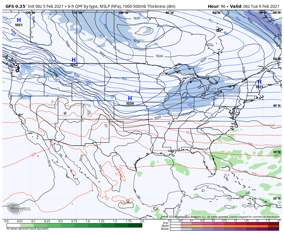
That leads us to Tuesday night and Wednesday. A surface wave is expected to develop in the Ark-la-tex region and lift northeast. This will be a “juicier” event and result in widespread wintry precipitation across the state. Early thinking here is that across central and northern parts of the state, this will be mainly a snow event. Southern portions of the state may mix with sleet and/ or freezing rain. While we can’t throw out numbers this early, where it stays all snow, several inches seem likely.

If that’s not enough, more “fun and games” are dialed up with yet another system next Thursday and Friday. This, too, could be a meaningful winter event, locally, and will require close attention moving forward.
From a temperature perspective, it continues to look like a case of “delayed but not denied” on the topic of truly dangerous arctic air. As the pattern evolves and a snowpack is established, the concern here is that we’re looking at a period of severe cold (double digit below zero temperatures and wind chill values exceeding 20° below zero) by late next week/ next weekend.
More later today! Have a great Friday, friends!
Leave a Reply