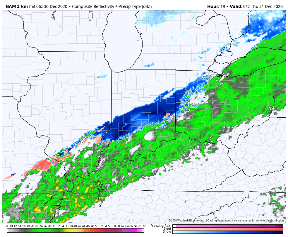
Rain is on the move east early this morning and should overspread most of central Indiana prior to sunrise or shortly after.

Highs will top out in the mid-upper 40s this afternoon before beginning to fall into the 30s by late afternoon. Guidance has also begun to trend more bullish on a narrow band of wet snow developing across central Indiana around, or just after, sunset as the colder air filters into the region. For now, we’ll target between 6p and 10p for the changeover to wet snow across central Indiana. While we’re still not forecasting significant snowfall, a quick 1”-2” isn’t out of the question before drier air builds in by mid to late evening. We’ll continue to keep a close eye on things.
New Year’s Eve will feature a cloudy, cold, but dry day. Our secondary area of low pressure will lift north New Year’s Day, spreading moisture back into the state. Cold air will be entrenched early and allow this precipitation to take the form of freezing rain predawn Friday, continuing for a few hours before switching over to plain ole rain. Before this transition takes place, a light glaze (.1 or less) is possible across most of central Indiana (mainly along and north of a Terre Haute to Bloomington to Cincinnati line).

I’m still working on getting a video uploaded from the road. Fingers are crossed I’ll have success later this morning. Make it a great Wednesday!
Leave a Reply