“Transient” warmth and continued dry weather will carry us through the short-term period, but don’t get used to it.

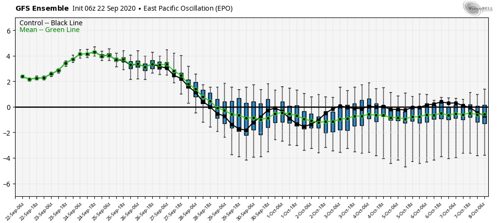
Another sharp trough will plunge into the eastern portion of the country next week and offer up the coolest air of the young fall season, along with better chances of at least light rain. The upcoming cool blast is in response to the positive PNA and negative EPO.

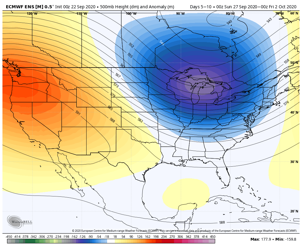
The airmass associated with this trough next week will be early November-like for a day or two, and well below late September/ early October norms for the remainder of the period.
Unlike our last trough, this one will feature more upper level energy and this combined with the unseasonably cold air (at the surface and aloft) will generate periods of at least light rain during the early part of the work week.

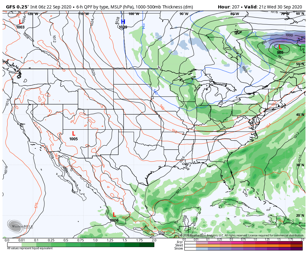
We’re not talking about a lot of rain, but a badly needed 0.25″ to 0.50″ is better than nothing.
Looking farther out, there’s reason to buy into the cooler than normal pattern having staying power into the first 1/3 of October, and perhaps beyond. More on this in future updates. Make it a great Tuesday!
Leave a Reply