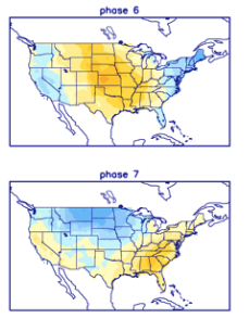
We believe the pattern during the 2nd half of the month will be driven by the MJO and PNA. The MJO is forecast into Phase 6 and 7 by the 18th-24th time frame.

Phase 6 is quite warm, but notice how the chilly air begins to push during Phase 7.
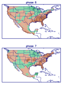
Neither phase is overly wet, but there’s hope compared to how dry it’s been over the past 2-3 weeks.
Interestingly enough, after a “neutral” phase with the PNA, both the GFS and European ensemble products predict a strong positive shift just after the 20th. This suggests to me that the week starting around that point should feature more widespread and stronger chill, compared to normal.


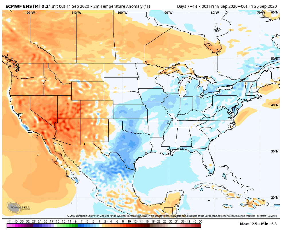
Let’s look at the latest model guidance, starting with the European ensemble:
Week 1 is still warmer than normal across our region, but notice the strong cooling by Week 2 (Sept. 18th-25th time frame).

The GFS ensemble is similar during the Week 1 and Week 2 time frame.

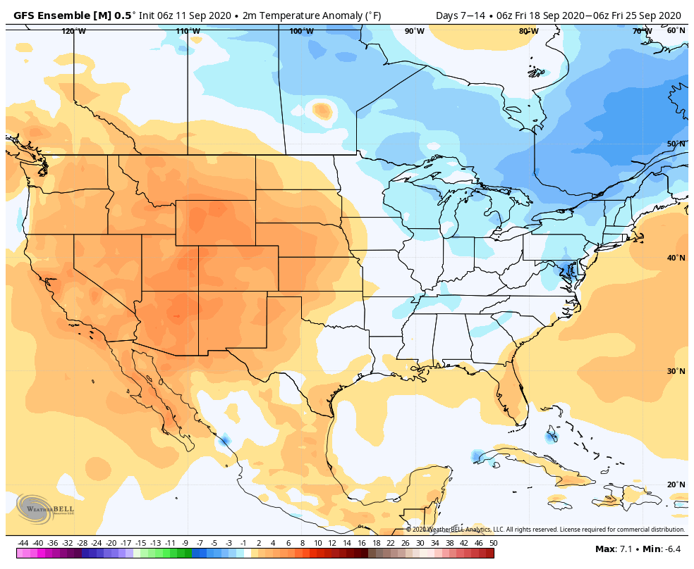
Given that strong PNA by late month, it wouldn’t surprise me to see these anomalies grow cooler as time gets closer during that Week 2 period.
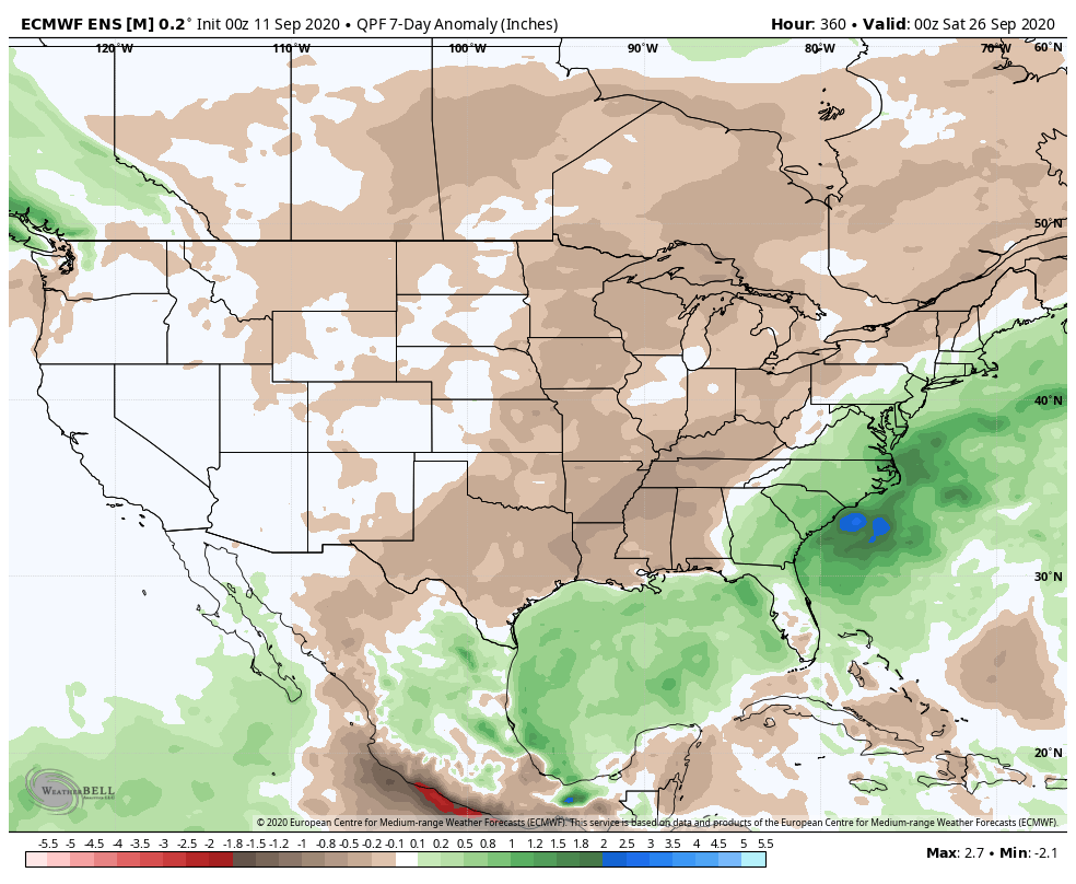
Overall, the pattern continues to look dry, although there should be a better shot of rain/ storms as the cold front moves into the region that will ultimately deliver the much cooler air late month.
Leave a Reply