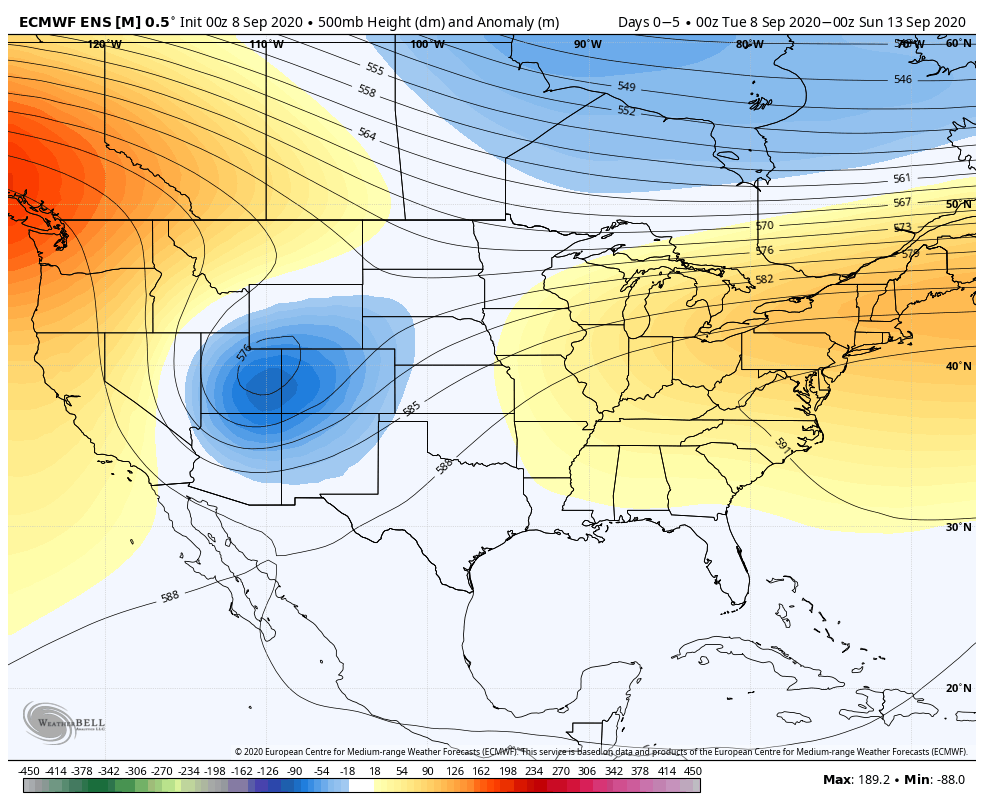
An early taste of winter is descending on the Rockies today (the town of Breckenridge camera will be fun to check in on from time to time over the next 24 hours). Places, such as Denver, that were in the 90s yesterday will fall into the 20s and 30s today with snow.

Note the big spread in temperatures across the country this morning and corresponding 24 hour temperature change:


We’ll remain on the mostly dry and warm side of this event until the weekend.

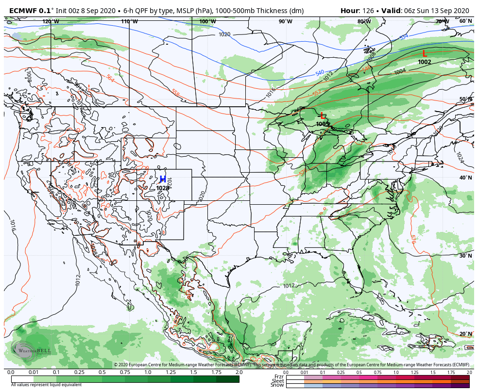
Once the storm system lifts northeast and gets close enough to impact our region, it’ll be in a much weaker state. Scattered showers and thunder are possible over the weekend, but widespread significant rainfall isn’t expected.

After heavy rains fell across north-central Indiana Monday, a much drier theme can be expected throughout the next several days. A widely scattered shower or thunderstorm is possible before Saturday, but most should remain rain-free. Even as the storm system draws closer, weekend rainfall should average only between 0.25″ and 0.50″ for most.

Cooler air (nothing to the extent or magnitude of what our friends out west are seeing) will filter in here late weekend and early next week. Lows into the 50s can be expected with a couple of days of highs in the 70s.
