After an unseasonably cool and dry week to open the month, much more active times await as we head into the middle of August.
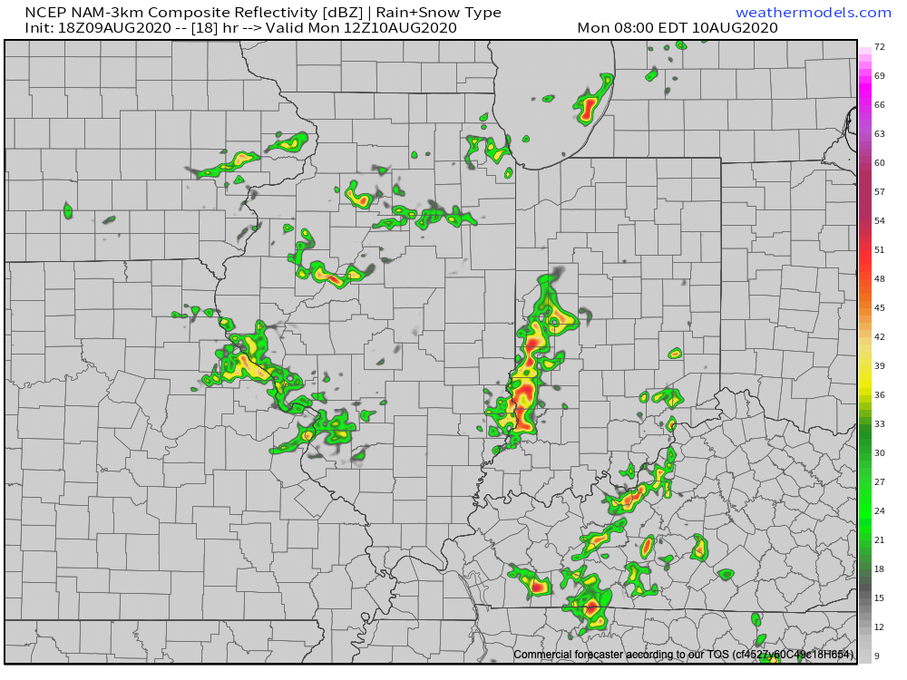
Upper air disturbances will ride southeast into the region to open the work week on the nose of a much more humid airmass trying to invade the area. These ripples of energy will be enough to lead to more organized thunderstorms, including locally heavy rain at times. Unlike what’s typical this time of year, this week will feature times of storms that rumble in during the nighttime and morning hours.

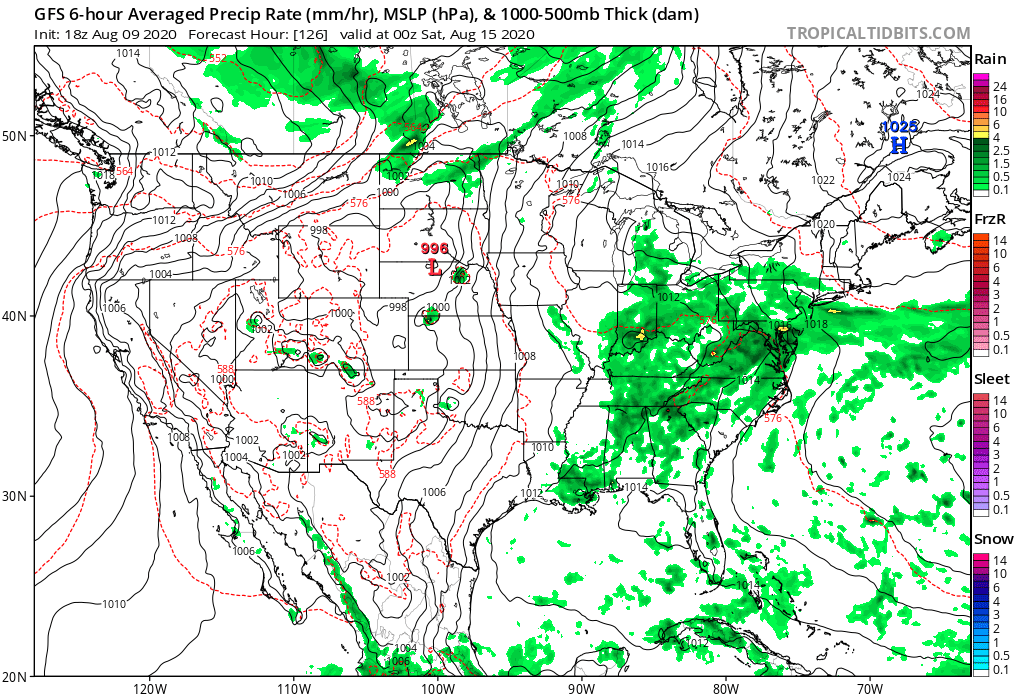
A frontal boundary will settle south into the region during the middle and latter parts of the work week before stalling out. This will serve as a focal point for additional thunderstorm chances for the 2nd half of the week, continuing into the weekend.

While it’ll be a warmer week, it’s more the humidity that will really make a difference. Daytime highs will remain close to average this week, overall, but overnight lows will be muggy- only falling to around 70° most nights.
We have no changes to our weekly rainfall forecast: 1″ to 2″ for most with localized heavier totals where stronger storms track.
- I’ll be on the road tomorrow and will have our client video posted Monday evening.
