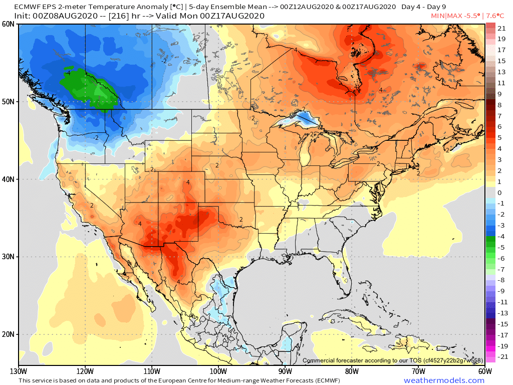
I. Warmer and more humid air builds northeast through the period.
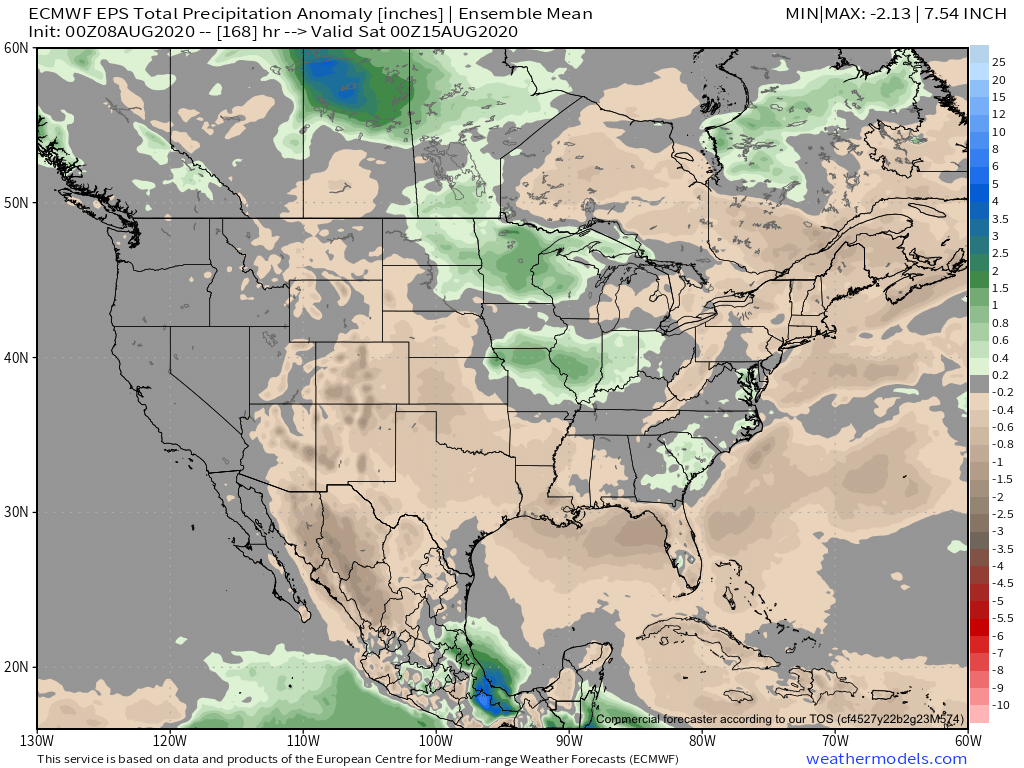
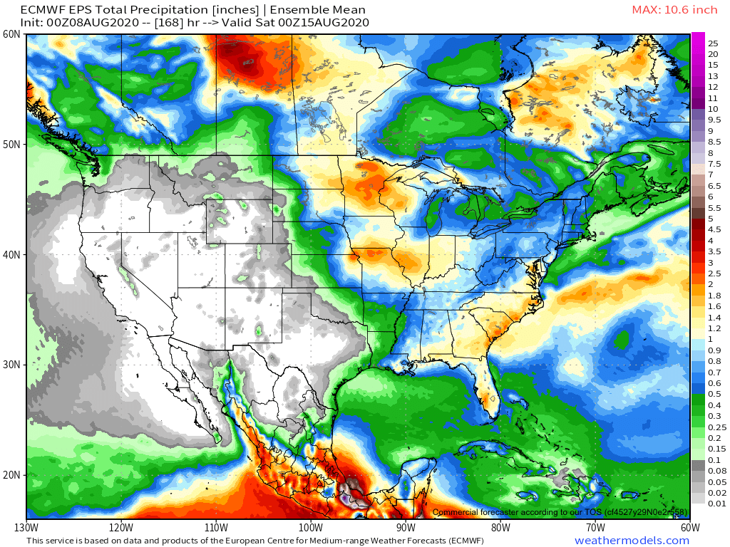
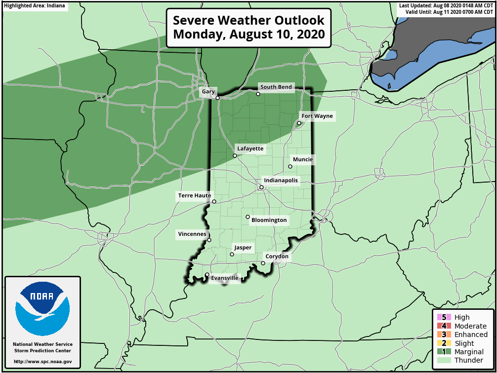
II. Rain and storms return.


Forecast Period: 08.08.20 through 08.15.20
While we still have one more day of relatively low humidity, that will begin to change for the second half of the weekend. Temperatures will climb to seasonal and above normal levels this week as well. In short, after an unusually refreshing open to August, true late-summer conditions will build back into the region. Rain and storm chances will also increase substantially throughout the week. Some storm complexes will include heavy rain and embedded stronger storms. From this distance it’s hard to pinpoint what day will have the best chance of storms, but agriculture, turf management, and anyone with outdoor plans should prepare for multiple days with weather impacts through the upcoming week. Given the nature of this setup, some communities will likely deal with excessive rain totals by this time next week (unfortunately the pattern still looks wet beyond the period), with widespread 1” to 2” totals across the board.
