August has opened unseasonably cool and refreshing. There’s even been a hint of fall to the air the past couple of mornings. The refreshing feel will continue as we wrap up the week, but changes for the warmer and muggier loom.

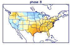
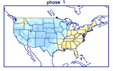
Even before we look at the respective model data for mid-late August, it’s important to note we’re basing our long range forecast (this was a byproduct in building our August Outlook) on the MJO heading into Phases 8 and 1 over the next couple of weeks. These are considerably warmer and wetter phases for our region and that fits our idea. Perhaps of interest beyond the next couple of weeks is that the amplitude should continue into Phases 2-3 as we wrap the month and head into early September. That, combined with other factors, will likely serve to re-ignite the tropics to close the month and head into the 1st month of meteorological fall.
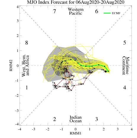
Note the warmer, wetter look associated with Phases 8 and 1:


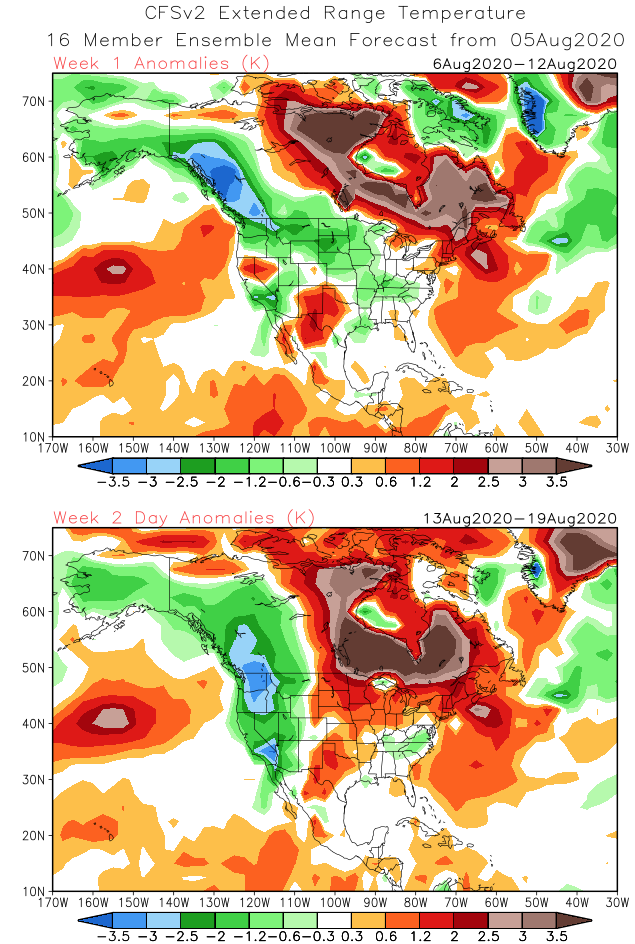
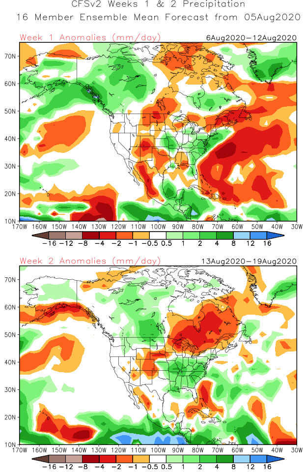
The CFSv2 is following this trend in the latest Weeks 1-2 outlook:
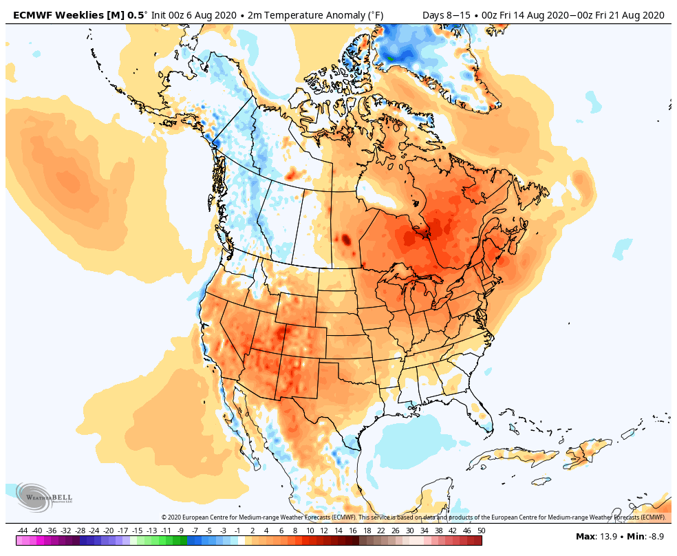
The latest European Weeklies are also in and paint a similar picture:


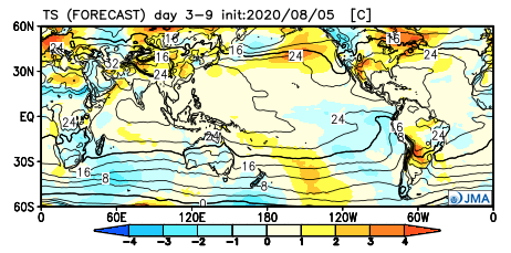
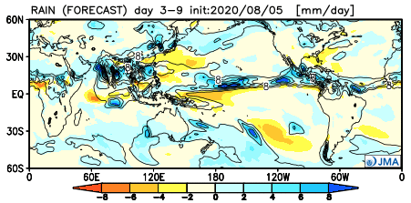
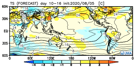
The JMA Weeklies follow a like path, but not as wet as we believe Week 2 will be:

The thinking here is that while we’re certain to warm in the mid-late month period, we still aren’t talking about any sort of prolonged periods of excessive heat. The more active upper air pattern will result in multiple frontal boundaries and disturbances scooting through the region to serve up more widespread, organized rain and storm chances. In short, we feel good about the rebound coming that should result in a month, as a whole, close to average in the temperature department with above to well above normal rainfall.
Leave a Reply