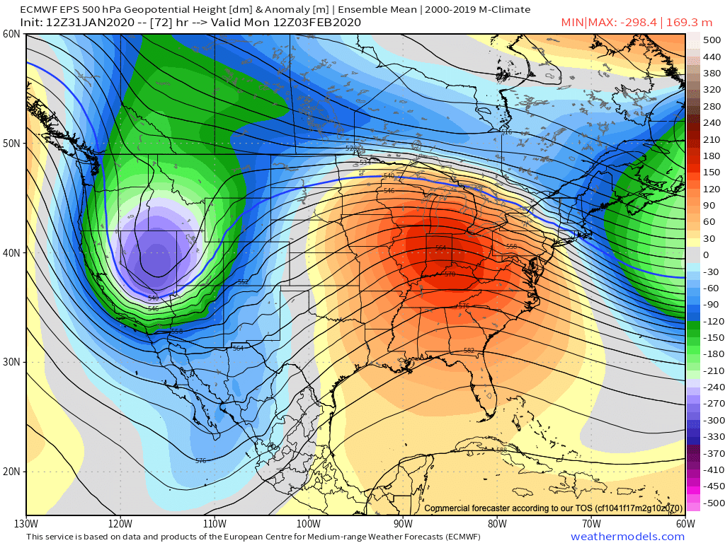
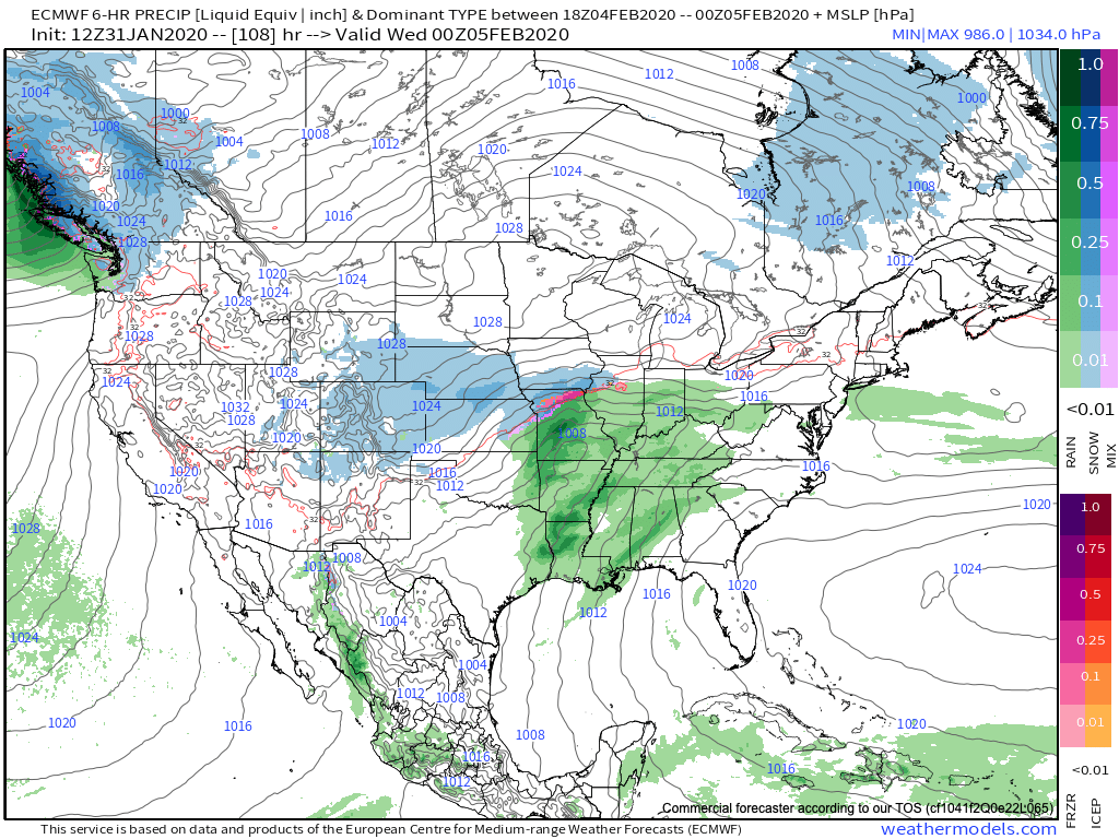
After a surge of warmth engulfs the region during the early part of the week, a cold front will sag south into the central Ohio Valley Tuesday night into Wednesday.

This front will result in an expanding shield of rain Monday night into Tuesday across all of central Indiana.

As we progress through Tuesday evening, the frontal boundary will likely sag south, allowing colder air to filter in (at least at the lowest levels of the atmosphere) across north-central parts of the Ohio Valley. As another slug of moisture moves northeast along the frontal boundary, precipitation is expected to once again become widespread Tuesday night into Wednesday. With the colder air oozing in, a mixture of sleet and freezing rain is a possibility across northern IL, IN, and OH. The precise placement of the front will determine whether or not more of central Indiana can get in on the “excitement” of this icy mixture during the aforementioned time period.

It’ll be wise to pay attention to forecast details during the weekend for the Tuesday and Wednesday time period- especially if you have travel plans north.
As this takes place, the upper ridge will get “beaten back” into the 2nd half of the work week. It’s important to note, however, that there will likely still be enough resistance from the upper level ridge that the cold front will get hung up along or just east of the spine of the Appalachians in the Thursday-Friday time frame.

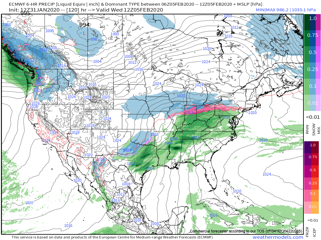
As this transpires, yet another wave of energy will move up along the pressing boundary. Accordingly, precipitation should once again blossom in response of this wave of low pressure moving northeast. While the European (shown below) wants to keep things east of the immediate region, it’s wise not to write this system off from this distance. Not only does other data show the threat locally, but it’s all too often where storm systems “correct” further west as time draws closer to said event…

While this week has been relatively boring in the weather department, things will change in significant fashion next week. Whether or not those changes can deliver “wintry goods” is TBD…
Stay tuned.
