A big upper level low will “pinwheel” across the state later this evening. On the front end of the system, a southerly flow will deliver periods of rain today. At times, rain will take on a steadier nature and at others, only light rain and drizzle is anticipated.
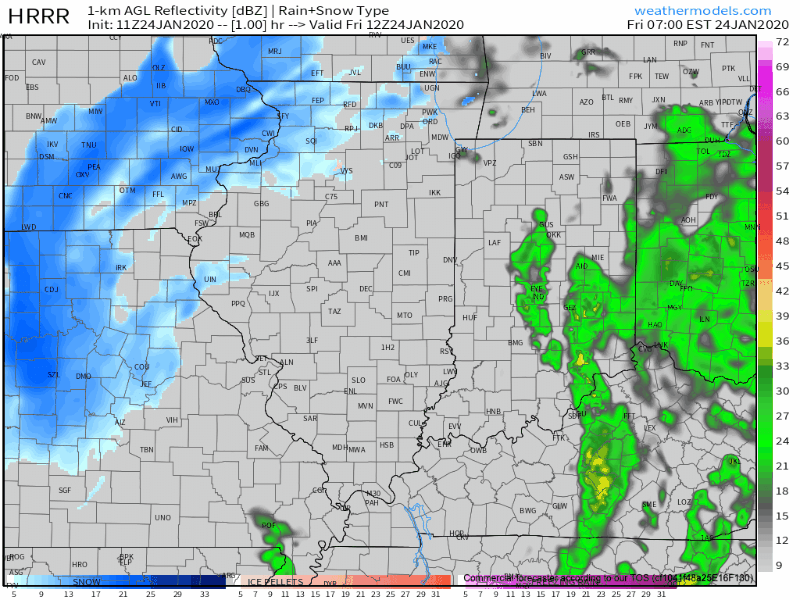
Heaviest rainfall will occur across the eastern third of the state, including amounts around 0.50″.

As the upper low continues to track northeast, we’ll get in on the northerly flow of this feature tonight into Saturday. Secondly, a lobe of moisture will pivot into central and northern Indiana Saturday morning. With the colder air in place, the bulk of this should fall in the form of snow.
We think snow will move into the area around, or just before, sunrise Saturday and remain through the bulk of the day. Periods of moderate snow will fall with embedded bands, especially across north-central Indiana.
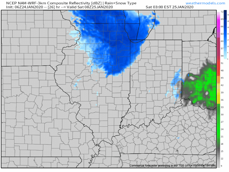
As for accumulation Saturday, we think in and around Indianapolis can expect a coating to up to 1″ of wet, slushy snow Saturday (no impacts to pavement expected). Northern suburbs (Zionsville, Carmel, Noblesville, etc.) and points north can expect 1″ to 2″ Saturday with the potential of slushy accumulation on untreated pavement surfaces.
The snow will depart Saturday night and we’ll get back to dry conditions Sunday.
Leave a Reply