1.) Patchy fog will burn off to another day with mostly cloudy conditions (should see a bit more sunshine than we saw on Monday) and mild temperatures. Mid 30s will warm into the lower 50s today and middle 50s Wednesday. The downside to Wednesday’s mild air? Light rain will scoot across the state. “Light” is the key word with amounts of a trace to under 0.10″.


2.) A cold front will push south across the region Wednesday evening and result in colder conditions (but with increased sunshine) Thursday. Highs in the lower to middle 30s can be expected across central Indiana Thursday.

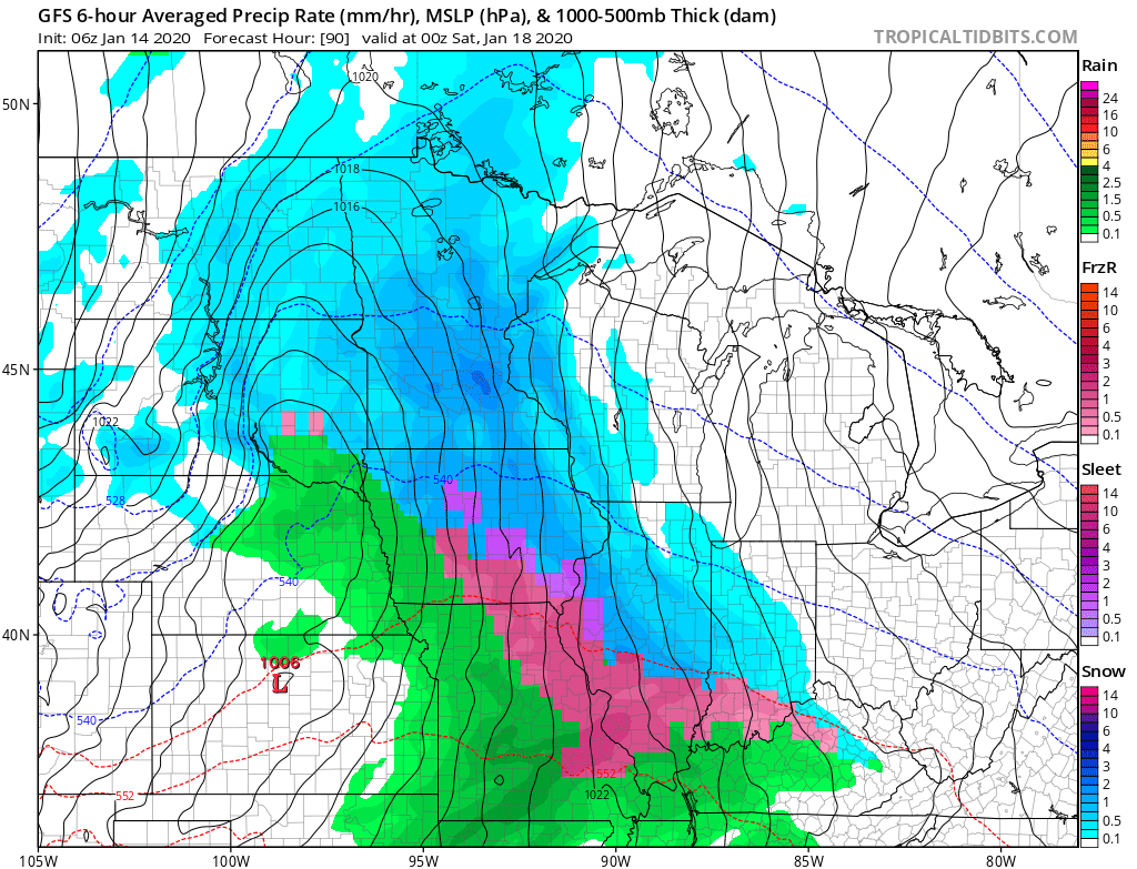
3.) As we move into late week, a stronger storm system will impact the area. Low pressure will develop along the lee of the Rockies Friday morning before tracking into the lower Great Lakes Saturday morning and into New England Sunday. With marginally cold air in place Friday (courtesy of Wednesday evening’s cold front), “overrunning” precipitation should fall as a wintry mix of snow and sleet Friday afternoon. While still early, it’s possible a quick couple inches of snow and sleet make travel messy Friday PM (worth keeping a close eye on) before precipitation changes to a cold rain Friday night into the predawn Saturday. Eventually, as the cold front whips across the state, colder air will return Saturday morning and precipitation will end as snow showers.

4.) The previously mentioned storm system will usher more of a prolonged wintry pattern back into the eastern portion of the country. As we look ahead through the remainder of the month, below normal temperatures are expected to carry the day, along with the threat of additional wintry precipitation from time to time. This is the kind of pattern that will certainly promote storms and “rumors of storms” and it’ll be important to remain locked into the forecast as we put a close on January.

