Quick update this evening just to touch base on the afternoon/ evening model data.
We’re still anticipating a dry Wednesday, but caution that conditions will be ripe overnight to result in areas of dense fog Wednesday morning. It’ll be wise to allow extra time to work and school in the morning just to be safe.
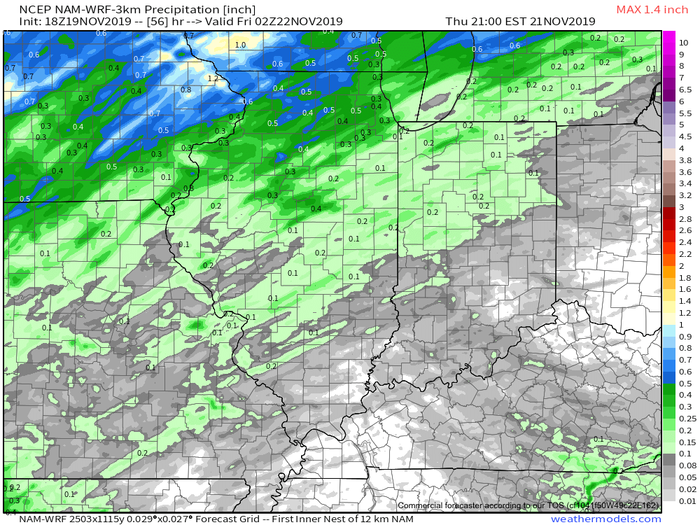
As we look ahead, rain will return to the region Thursday as an area of low pressure lifts into the Great Lakes region. This will drag a cold front through our region Thursday night into Friday morning. Looking at the most updated high resolution data suggests the steadiest rain will arrive around or just after lunchtime Thursday.

With that said, rainfall amounts aren’t anticipated to be significant. Most will be between 0.10” and 0.25” with a few heavier totals.
After a quiet Friday, moisture will overspread the region once again this weekend. This is the “follower” system modeling has struggled with over the past week. We were confident this would be a local player due to the overall upper level pattern, despite the inconsistent modeling. Sure enough, the consensus of modeling this evening brings in another system in the Saturday-Sunday time frame. With marginally cold air, this isn’t expected to be a widespread winter weather maker, but we continue to closely monitor the potential of localized “more meaningful” wintry precipitation across portions of the central and northern Ohio Valley. Note the wide range of possibilities individual GFS ensemble members print off:

We’ll continue to keep close tabs on things the next couple days and have a fresh update posted early tomorrow morning reviewing the latest overnight data. Specifics should become much more clear with regard to the weekend system once we get to Thursday…
Leave a Reply