Type: Impactful wintry weather
What: Accumulating snow
When: Monday afternoon into Tuesday morning
Temperatures: Falling from the lower 40s around daybreak into the lower 20s by late evening.
Wind: North shifting to the northwest and gusting 20-25 MPH.
Blowing/ Drifting: Minimal
Pavement Impacts: Salting and plowing will be required

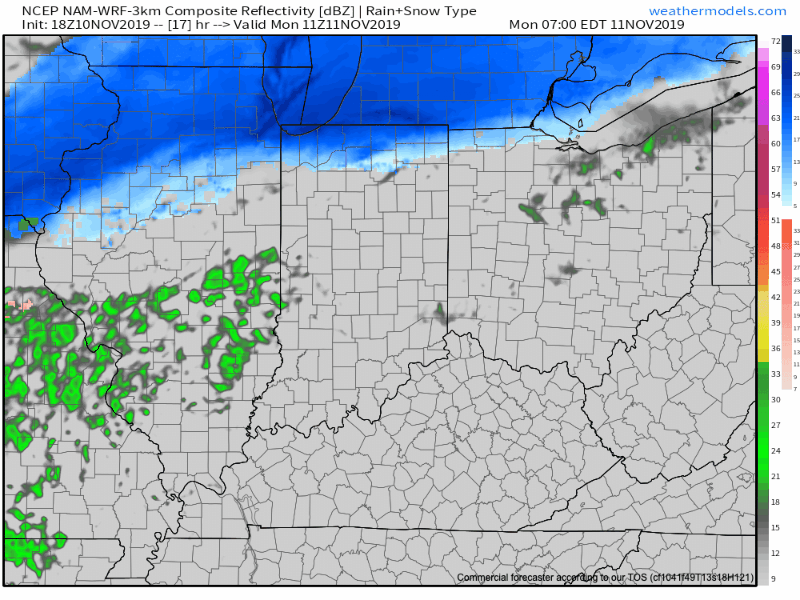
We type this with a quiet and pleasant early-November evening underway, but major changes await on deck. An arctic cold front will continue to press south through the state during the overnight period. Monday will dawn with overcast and dry conditions across immediate central Indiana, along with a stiff northerly breeze. That said, a cold rain will develop by mid morning and this will transition to wet snow around or just after lunch north of the city and early afternoon for the city, itself. Some embedded banding is possible within the snow shield Monday afternoon into the evening hours, thanks to a strengthening surface wave moving northeast along the arctic front. This will create the potential of heavier snow rates around the evening rush. Combine this with the fact temperatures will be falling into the 20s around this time frame and it’s a safe bet that weather will create a high impact on evening travel Monday all throughout central Indiana. The “system” snow will diminish off to the southeast late evening, but by this time, lake effect streamers are expected to pivot across central Indiana before eventually setting up shop across east-central and northeast Indiana Tuesday morning. Record cold will follow the fresh snow with a low Tuesday and Wednesday mornings between 10° to 15°.
Confidence: High
Next Update: Monday morning
Leave a Reply