A beautiful open to the weekend awaits and while we’re currently enjoying calmer times, we wanted to go ahead and time out the arrival of storm systems as we move through next week and the end of March.
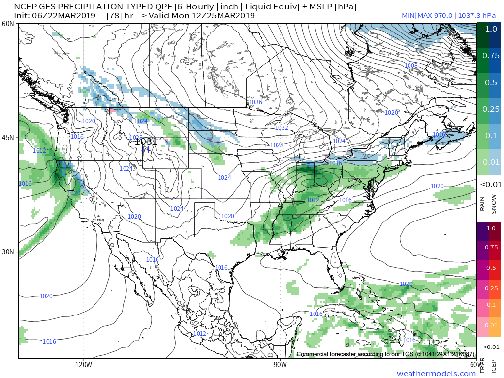
Sunday, 3.24.19 into Monday, 3.25.19

Clouds will increase Saturday night and precipitation will follow Sunday in the form of light rain that will continue into Monday. As colder air presses south, rain may mix with or change to light snow across northern areas before ending, but this doesn’t appear to be a major deal (more of a nuisance than anything else). Rainfall totals around half an inch on average can be expected with this system before drier air arrives (and sunshine) Tuesday.
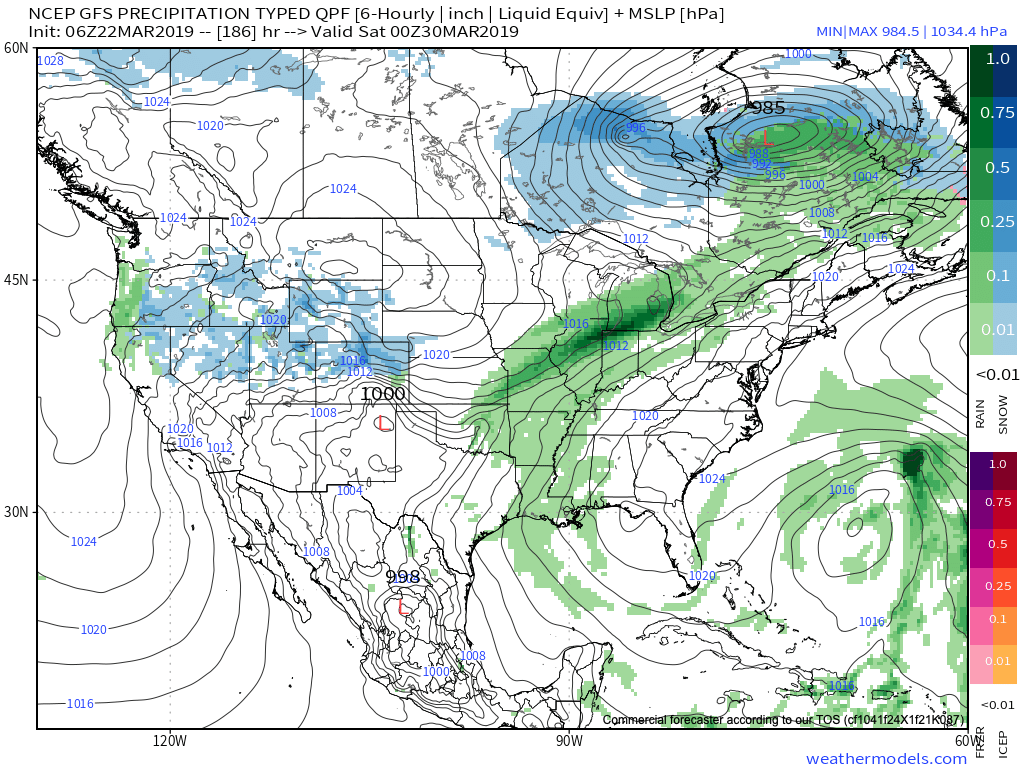
Thursday, 3.28.19 into Saturday, 3.30.19

After a drier stretch of weather the middle of next week, rain will return Thursday evening into early next weekend. There are differences with the way models handle the frontal passage next weekend (couple of solutions stall the front to our south and bring another wave of moisture up along the boundary that would potentially lead to renewed wet conditions next Sunday into next Monday). The early call here is that this system will have more moisture to work with than it’s predecessor.
Yet another storm system will approach the middle parts of Week 2.
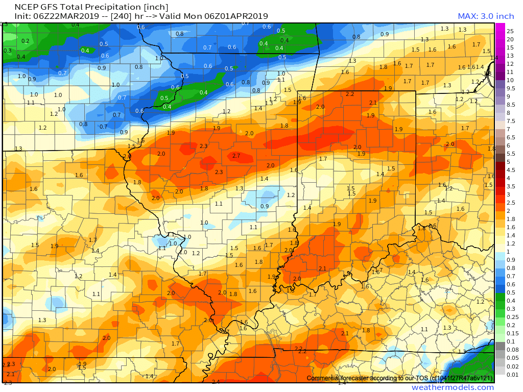
Current projected rainfall totals off of the latest GFS forecast model look decent from this distance over the upcoming (10) days.

