The first accumulating snow event of the young 2018-2019 season is upon us. Thankfully, this won’t be any sort of “blockbuster” storm, but instead serve to gently “ease us” into the new snow season.
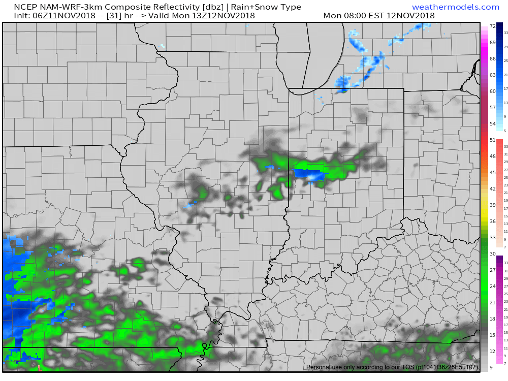
Upper level energy will eject out of the Plains today and push towards the Ohio Valley Monday. At the same time, surface low pressure will develop along the Gulf Coast before scooting off to the eastern seaboard and tracking north Monday night and Tuesday. Initially, it’ll take some time to moisten up what will be a relatively dry air mass, but a mix of cold rain and wet snow should begin making it to the surface during the late morning and early afternoon.
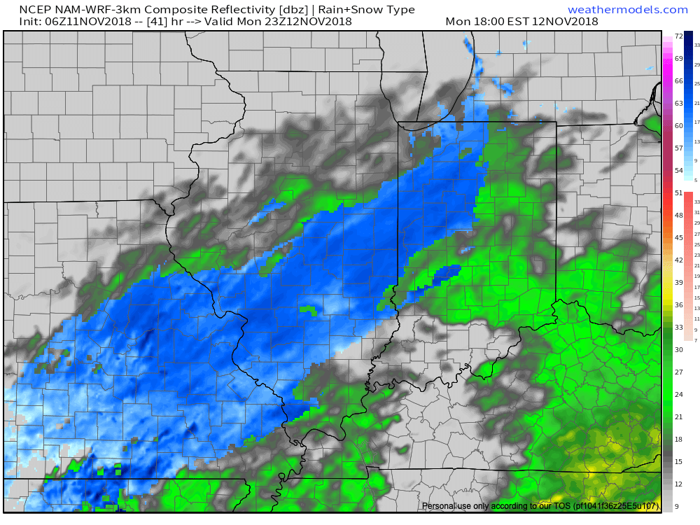
Precipitation will become more widespread as we push into the late afternoon and early evening hours with the predominant precipitation type by this time falling in the form of snow across central Indiana- including Indianapolis.
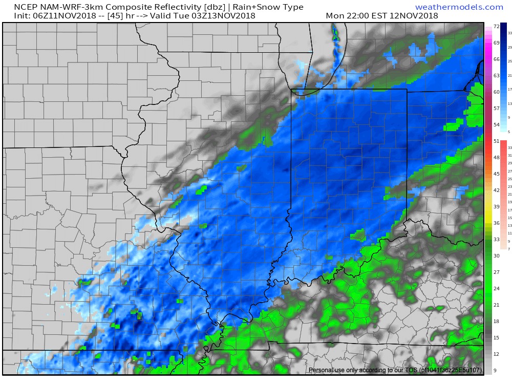
Widespread light snow will be falling tomorrow night across the region.
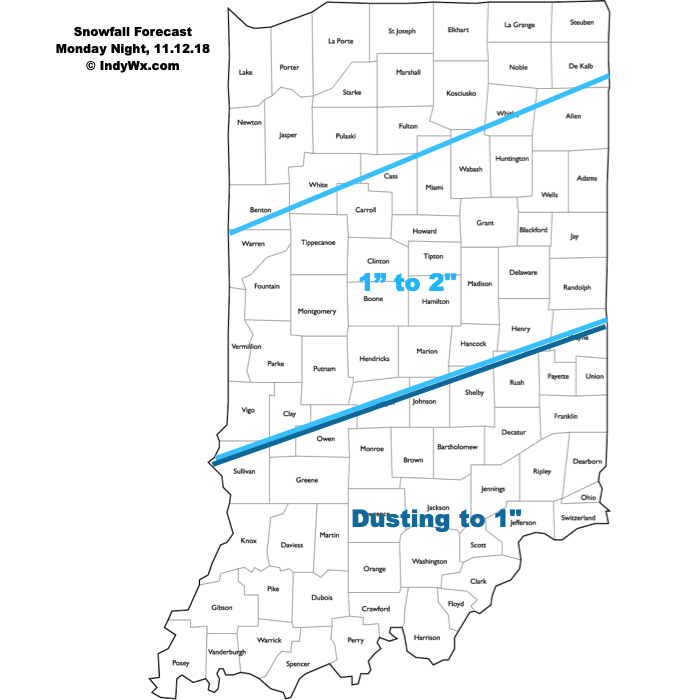
Snow will begin to diminish after midnight and by the time all is said and done, we forecast a general 1″ to 2″ across most of central Indiana. (Some localized lake effect snow showers may add to additional accumulation across north-central portions the central IN Tuesday morning into the afternoon).
 We’re left with unseasonably cold conditions through the remainder of the week, followed by reinforcing cold air arriving next weekend…
Leave a Reply