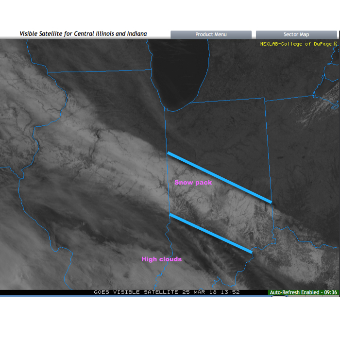
Before we discuss some of what has our attention as we move through the next couple of weeks, check out this cool visible satellite image from this morning. The snowpack shows up nicely. It’s also neat to see the high resolution modeling understand where that snow pack is and the associated cooler forecast highs compared to areas south and north that didn’t see the heavy snow Saturday.
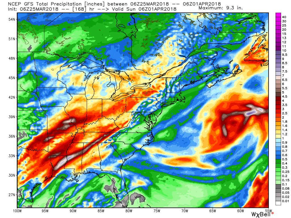
 As we look ahead, a wet week is in store for the region. Periods of widespread rain, heavy at times, will come at us in waves:
- Monday evening-Tuesday
- Thursday
- Next weekend, including Easter
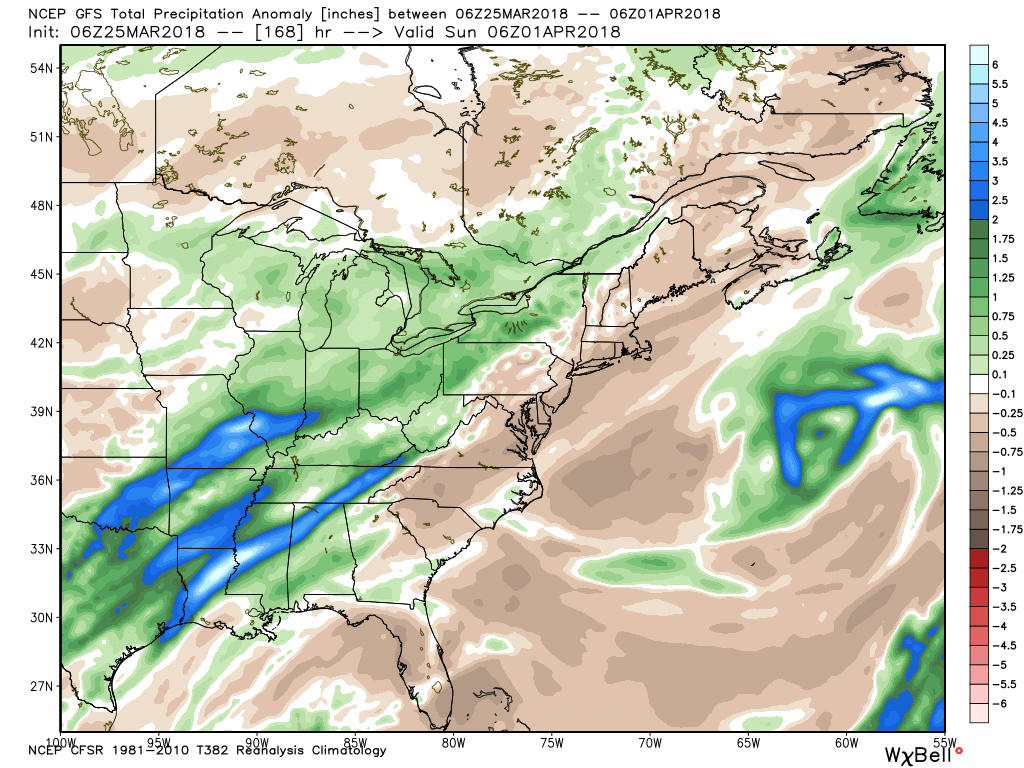
When totaled up, widespread 2″ totals can be expected, with locally heavier amounts.
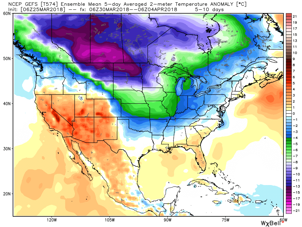
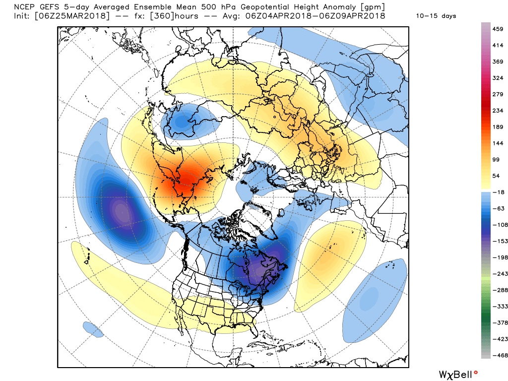
 After a brief relaxation in the unseasonably cold regime, well below average temperatures are expected to return as we move through early April. It’ll feel more like winter than spring through the better part of the first half of the month.
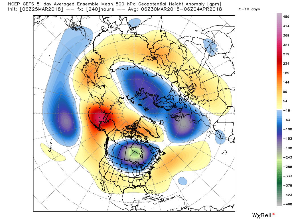
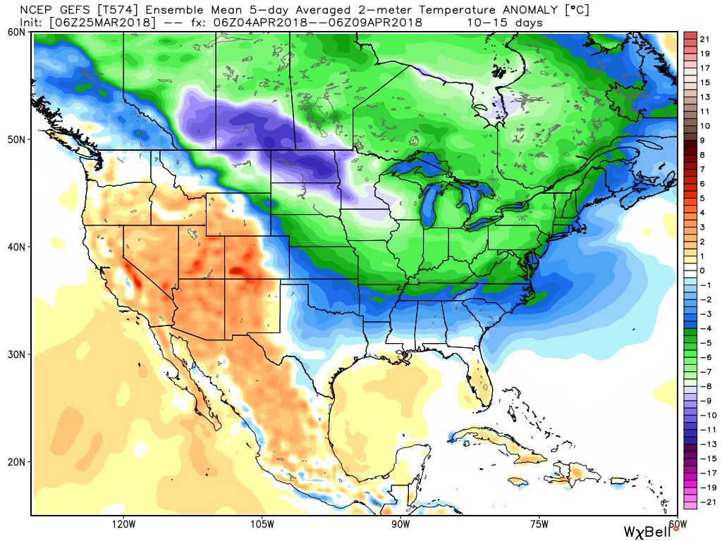 It’s also too early to think about yesterday as the last snow of the season. Given the early April look, it wouldn’t surprise us if an additional snow event or two came along…
(As a reminder, you can always catch our most up-to-date 7-day forecast in the top left of the homepage).
Leave a Reply