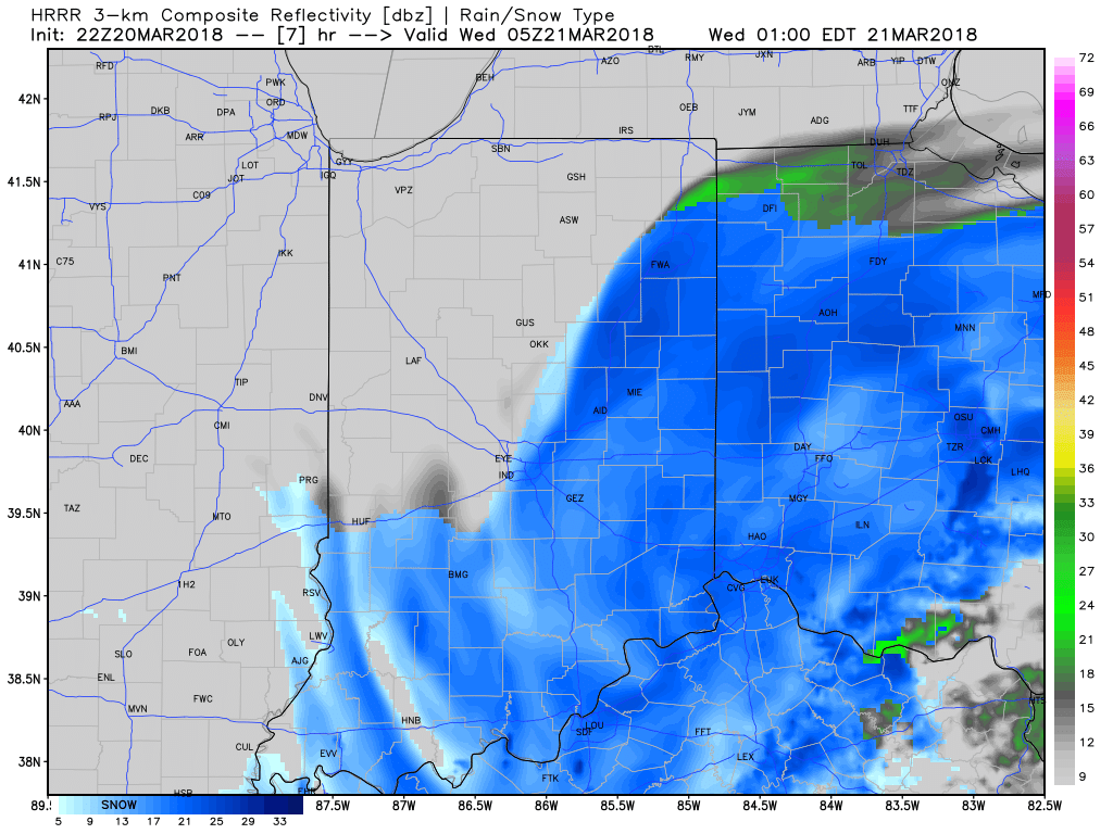
Snow will continue to expand across southern and eastern Indiana as we progress through the evening hours. Additionally, snowfall intensity will increase overall into the overnight hours across southeast Indiana.

Our latest snowfall forecast is vastly unchanged from this morning, with the exception of expanding the 3″ to 6″ area a bit further west. Within this zone there will be a few reports of 8″ to 10″ before things wind down Wednesday afternoon.
 Snow will continue to fall through the overnight and into Wednesday morning before eventually diminishing across eastern parts of the state early Wednesday afternoon. At times, snow will be heavy and we continue to expect tough travel tonight into the daytime Wednesday across southern and eastern Indiana. When shoveling and cleaning things up Wednesday, remember this snow event will take on a heavy, wet characteristic.

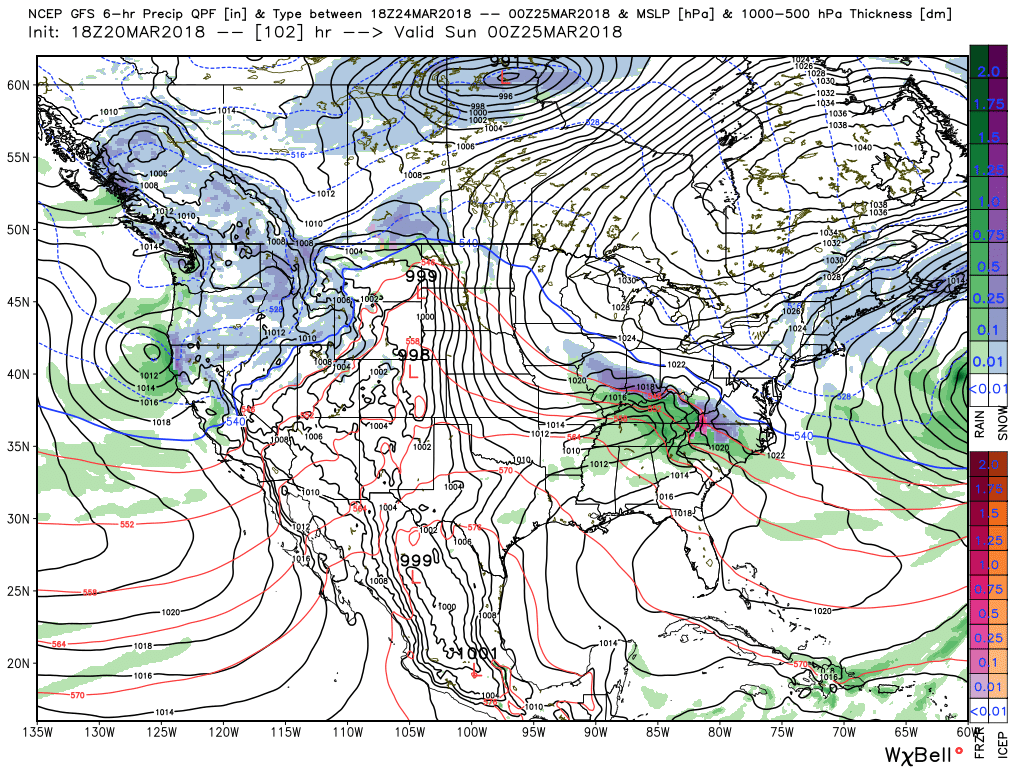
After a mostly dry and quiet time of things Wednesday afternoon and Thursday, our next storm system will approach Friday evening. This event will also have a wintry flavor to it and the potential is present for additional ice and snow accumulation Friday night into Saturday. If you have travel plans this weekend we recommend keeping close tabs on the forecast!
 As mentioned in this morning’s video update, the longer range pattern is one that continues to suggest colder than average temperatures will rule the day. Until we can shake that negative NAO we don’t anticipate any major improvements in this pattern. Remember, we’re only the messenger… 🙂

Leave a Reply