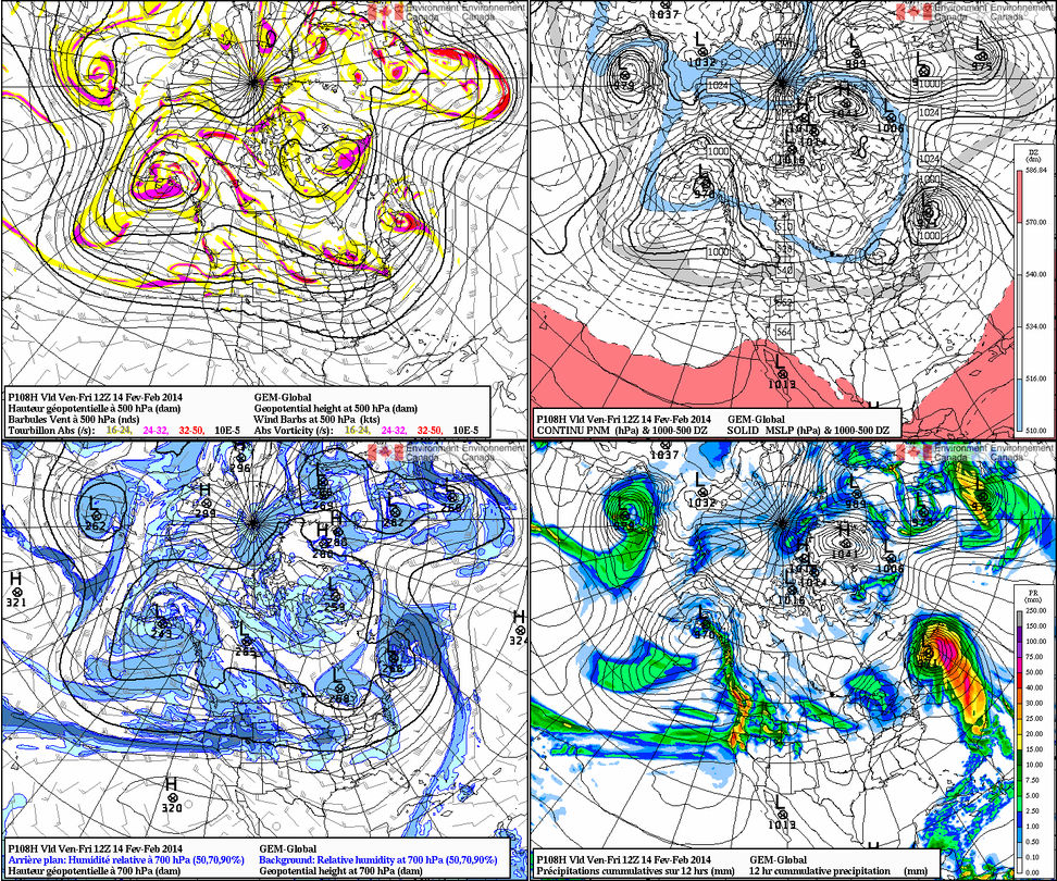
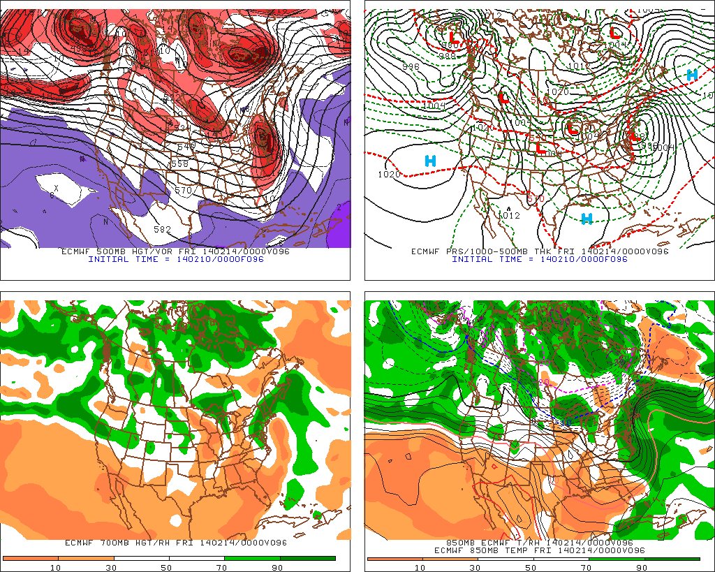
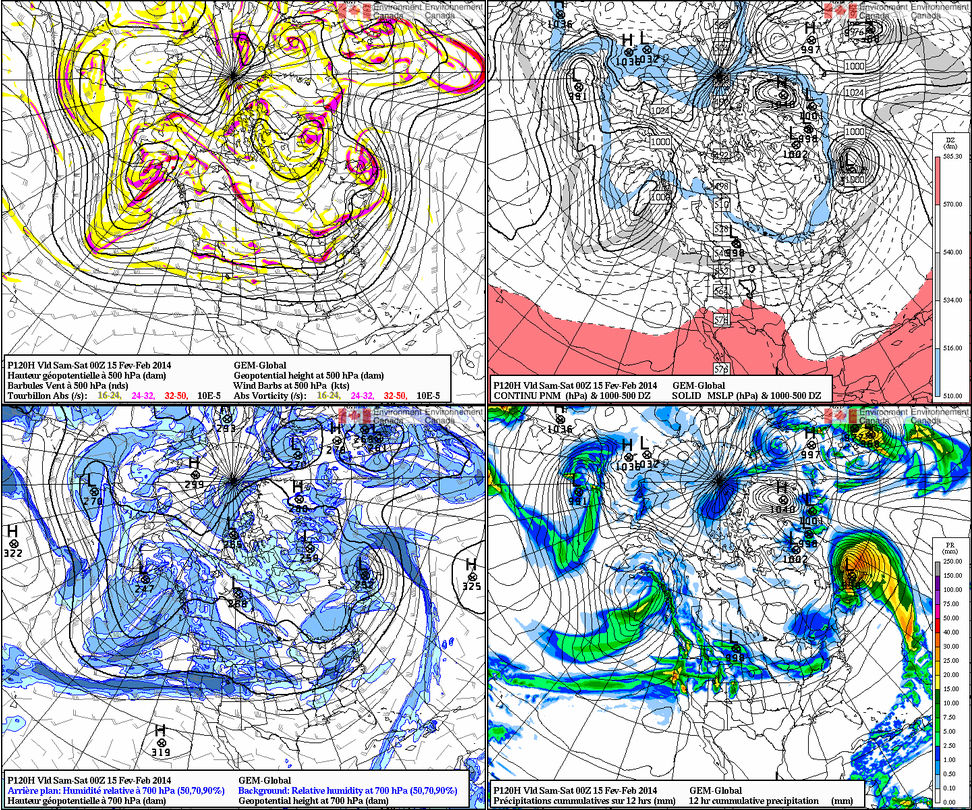
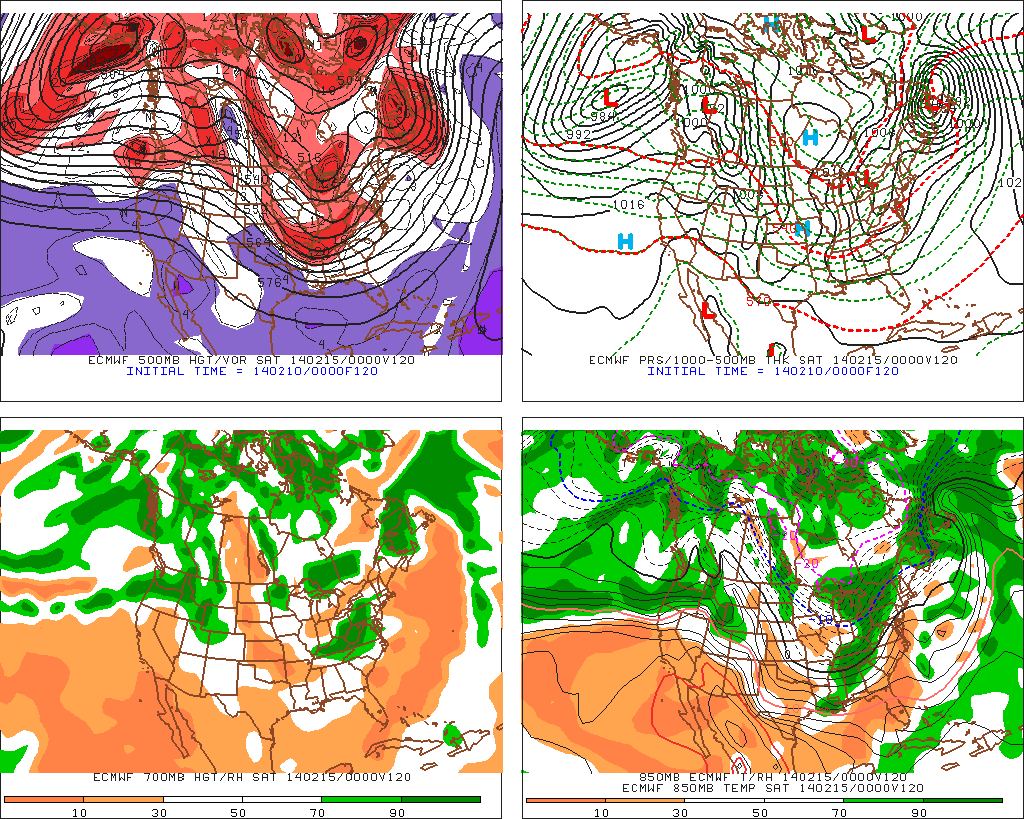
After a dry period through early to mid week, our weather pattern will begin to turn active yet again as we head into late week and this weekend. Three of our more trusted mid range computer models handle the individual impulses of energy differently and the snow potential ranges anywhere from nothing more than 1″ to as much as 10″ in the Friday-Tuesday period. Most likely, we’re looking at something somewhere in the middle.
Our first chance of accumulating snow arrives Friday. Both the European forecast model and Canadian forecast model agree on this, while the latest GFS takes the same energy through the Great Lakes, missing our region entirely. We feel the GFS may be in error mode here. While it’s possible the GFS may lead the way (anything is possible this far off), we feel the EC and Canadian have a better handle on things and we’ve based our forecast (post below) off a blend of these two models for Friday, including accumulating snow.
Our next shot of accumulating snow blows in Saturday. All three models agree on this, but handle the track of the low, another clipper system, differently. The Canadian tracks the low south of IND, strengthens it on it’s journey east and results in a full blown snow storm here Saturday. The GFS and EC remain weaker and track the low across central or northern parts of the state, with much lighter snow amounts here.
You can find your completed 7-Day forecast in the post below this one. Finally, there are some signs the pattern may begin to relax and allow a milder brand of air into the region around the 20th. We caution though that this won’t be a “suddenly it’s spring” pattern, but rather a tease of sorts as longer term signals suggest a wintry regime returns late February into March…


