Updated 03.16.24 @ 7:55a
Indianapolis is running right at average month to date from a rainfall perspective (1.78”).
We’re transitioning to a much drier pattern in the week ahead as a cooler, Canadian airmass dominates (for a change).


Several hard freezes (mid-upper 20s) are on tap in the upcoming 7-10 day period: Monday/ Tuesday morning and again late next week/ next weekend.
Cooler? Yes, but I still don’t see anything overly cold on the horizon as we navigate the next couple of weeks.
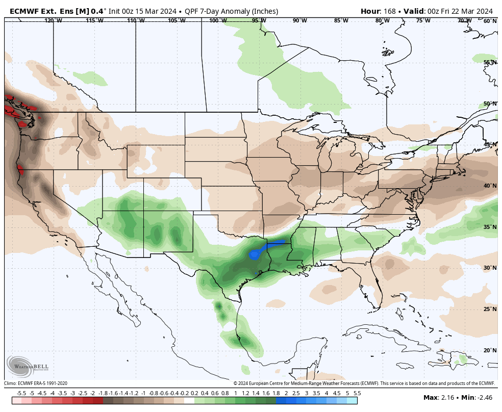
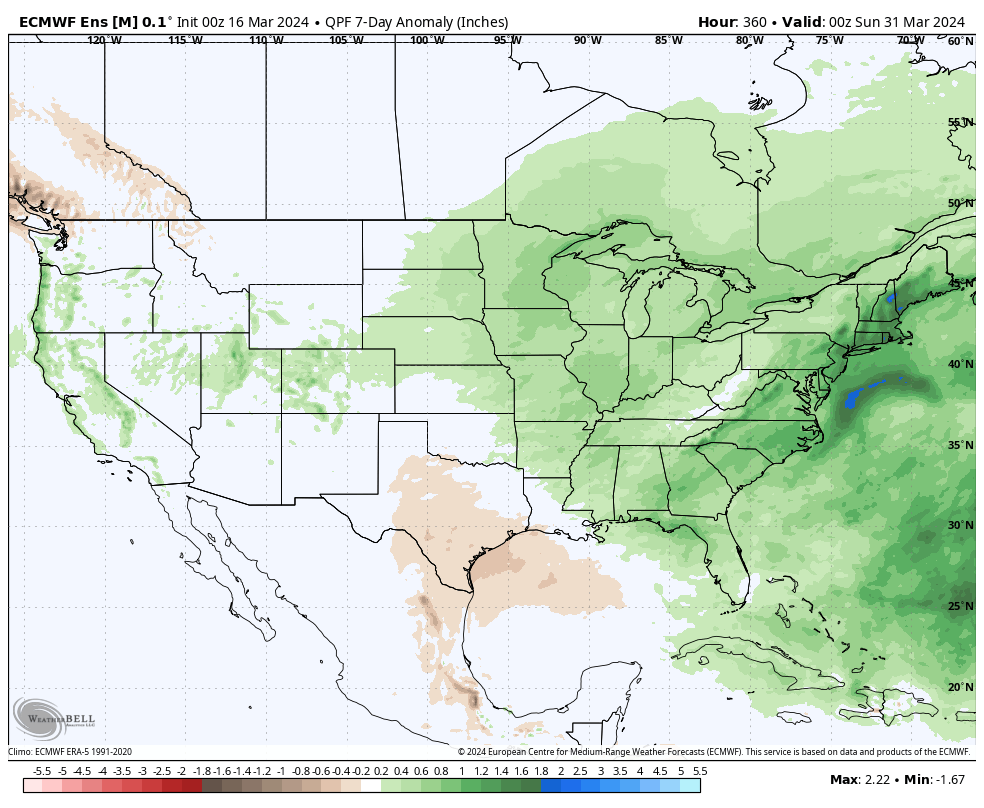
What’s more notable is the shift in the precipitation pattern over the next few weeks. The dry Week 1 (now) transitions to a significantly wetter and more active look Week 2 (below).

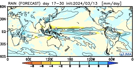
The JMA also sees the wetter regime.

This is forecast to continue in the Weeks 3/4 timeframe.

Continues to back up the idea of an active (wet) and stormy (more in the way of severe weather) spring as a whole.
Down the road, an eventual move into a hot, dry (compared to normal) summer may loom. (Yet one that is very active from a tropical perspective, continuing into the fall). More on that in the coming weeks…

