Updated 02.18.24 @ 10:59a
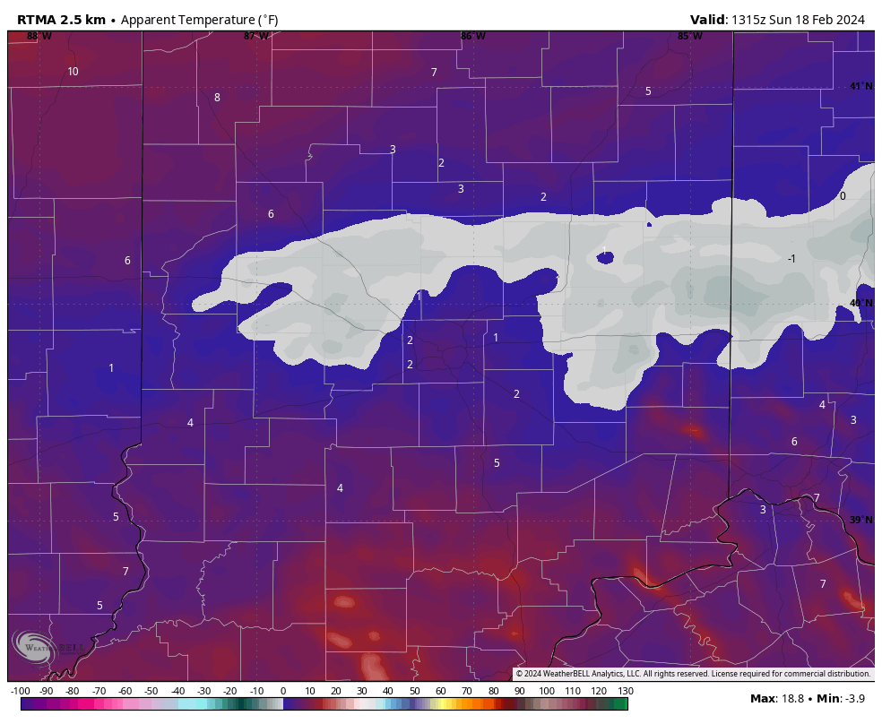
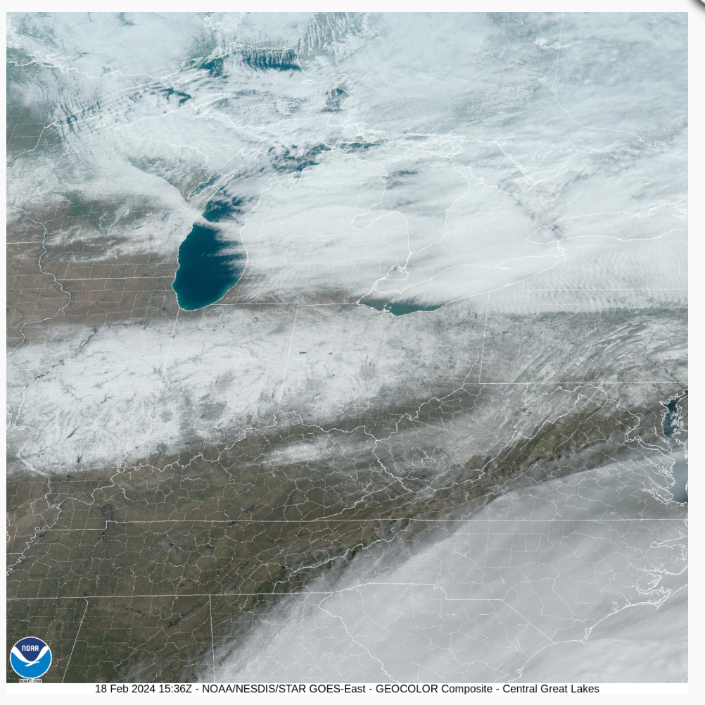
Though we dealt with a bitter start to the day, those strong and gusty southwest winds signal a regime change through the 1st half of the work week. Highs will pop into the 60s even by midweek- a far cry from this morning’s sub-zero “feels like” over the heart of the fresh snowpack.
The upcoming 10-day period will feature an expanding ridge across the East and the ‘mean’ trough position settling into the West.
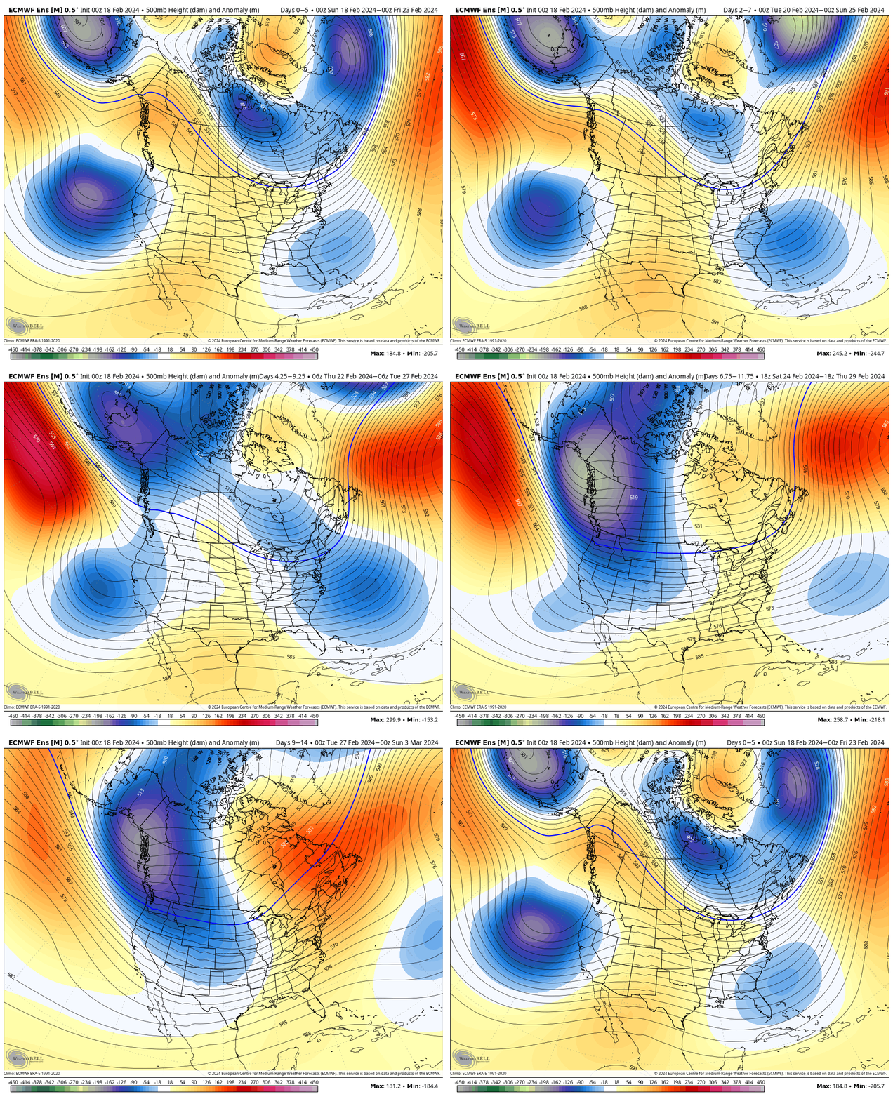
After another brief shot of cold air this weekend, a significant unseasonably mild pattern will arrive next week. Cold settles into the West.
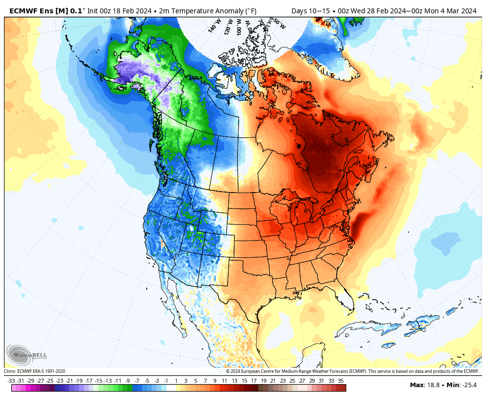
The developing upper air pattern will lead to a more active storm track to close February and open March. See the anticipated above normal precipitation pattern taking hold. This is likely a sign of what the balance of meteorological spring will feature.

In the week ahead, we continue to track a rain maker Wednesday night into Thursday and a brief “jolt” of cold for the weekend.
Looking ahead to next week, a more widespread and stronger storm should take aim on our area. Though still a ways off, the signal is one that looks like this feature will be able to tap into the Gulf of Mexico, allowing for a more widespread, potentially, heavier rain event and also the chance of storms.
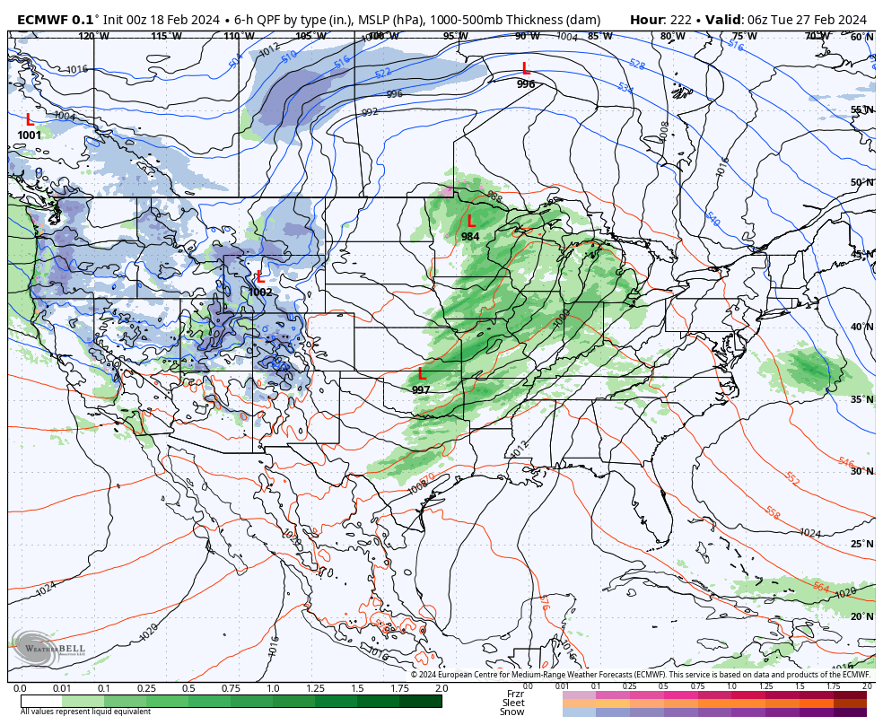
Note precipitable water values (PWATs) are forecast nearly 300% of the norm.

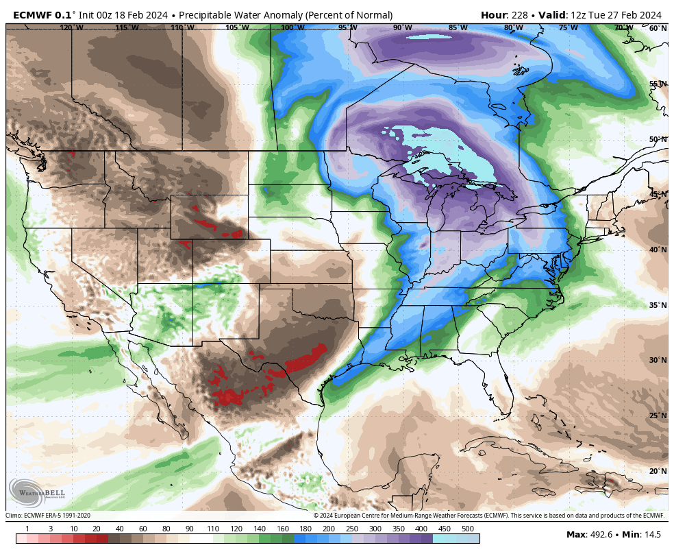
As we get closer, we’ll have to keep tabs on instability levels and available energy for the prospects of storms. More on this Day 8-10 feature in the coming days. Make it a great Sunday!
