Updated 02.02.24 @ 7:37a
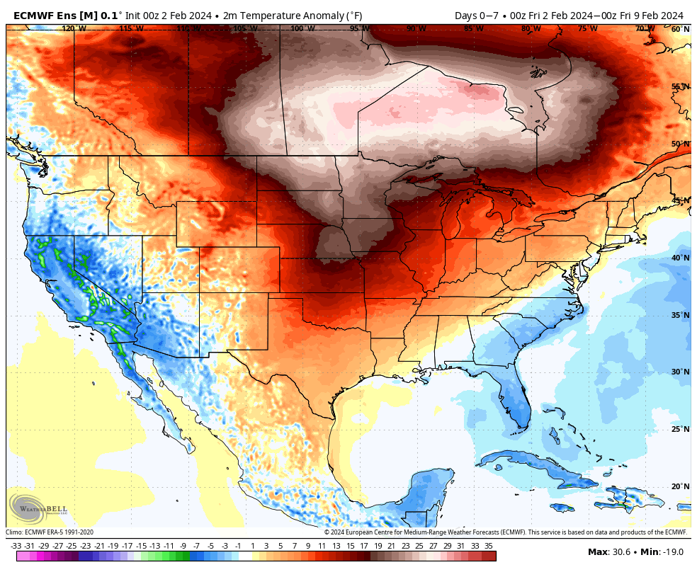
We don’t see any reason to deviate from the longstanding ideas on the overall pattern evolution ahead. February will continue to provide an unseasonably mild and quiet stretch through the first 1/3 of the month ahead of a pattern transition back to colder around or just after 2/10.
2/2 – 2/8

2/9 – 2/16
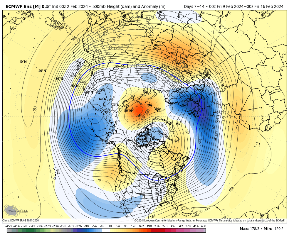
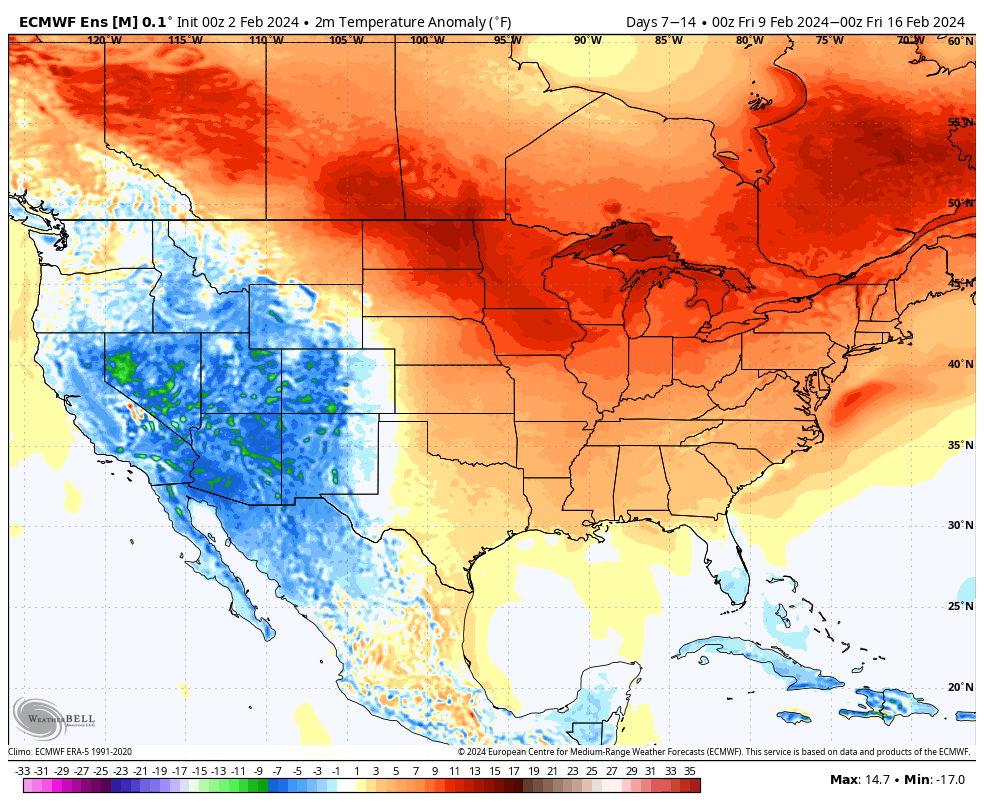
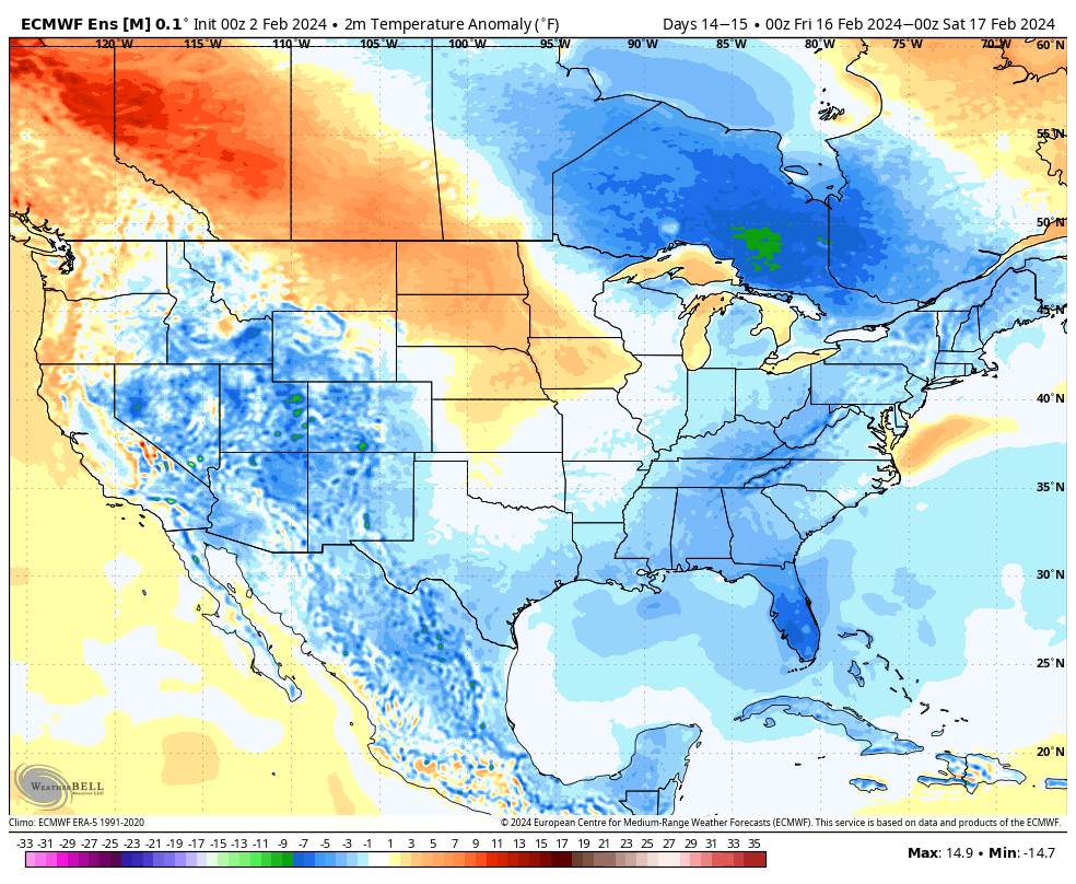
Note the ridge begins to break down across the East during the Week 2 period above. This is the transition to colder times, locally, as heights begin to build across western Canada and the northeastern Pacific. By mid-month, we’re talking about an entirely different pattern as a trough continues to deepen across the East along with unseasonably cold air become more entrenched.

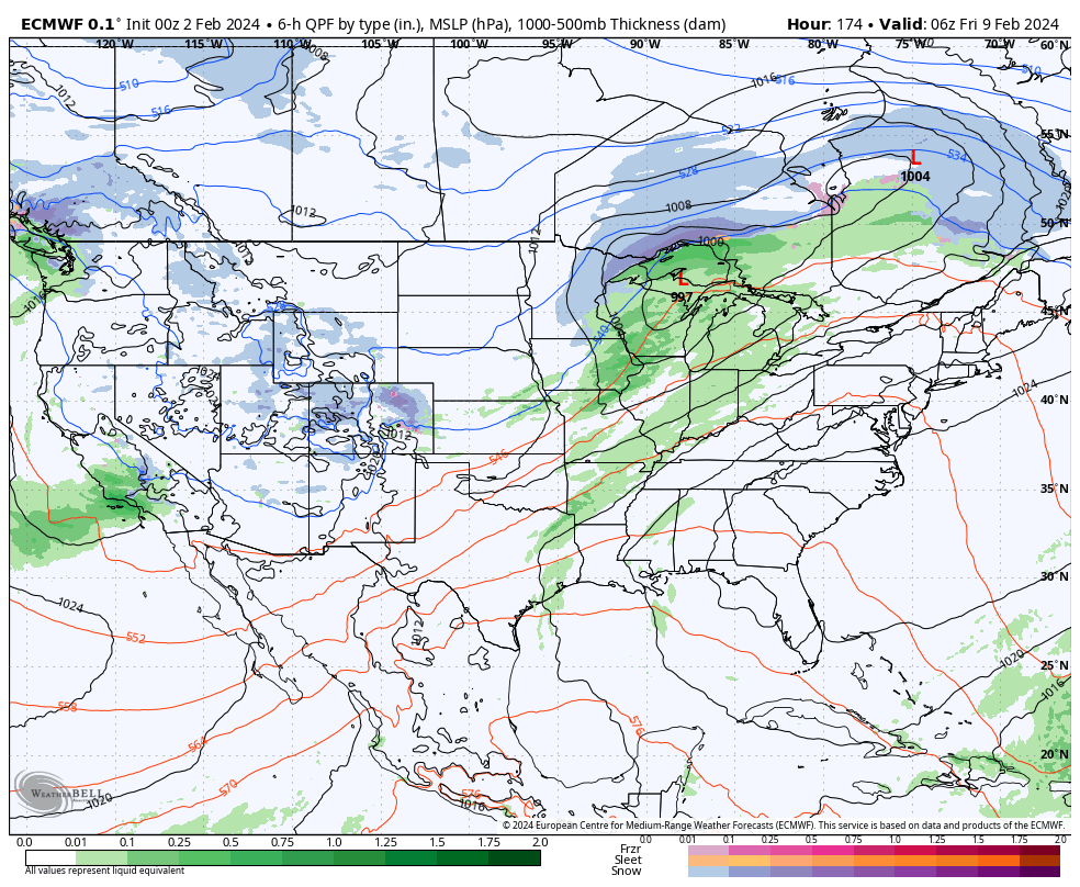
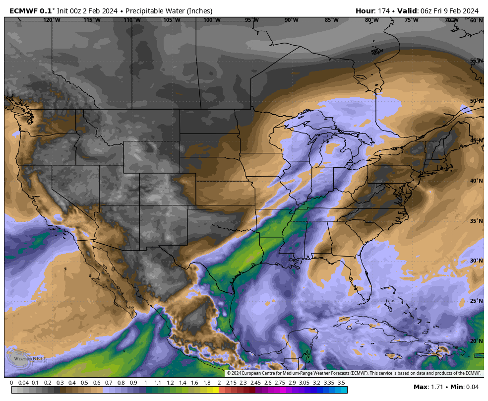
In the shorter term period, not only are we talking about unseasonably warm temperatures (it’ll push 60°+ here late next week) but also incredibly quiet weather. In fact, we aren’t looking at another opportunity for measurable precipitation until next Thursday.
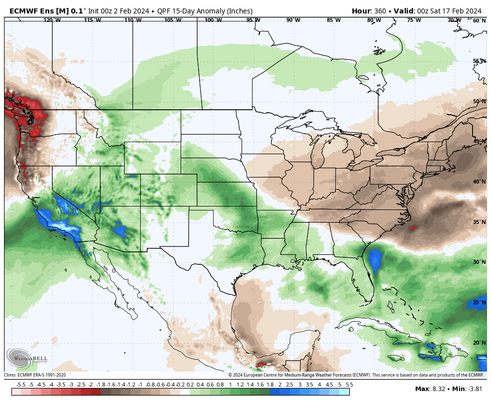
A warm front and trailing cold front will return a round of unsettled weather (rain and even thunderstorm potential) here as we get set to close the work week next week. More on expected rain coverage and amounts as we get into the weekend and next week.
