Updated 10.22.22 @ 7:14a
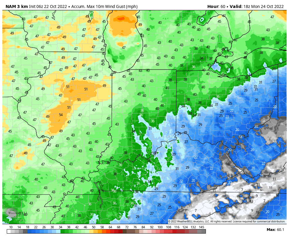
- A windy warm up complete with partly cloudy skies can be expected through the weekend. Highs will zoom well into the 70s and winds will gust 30-40 MPH

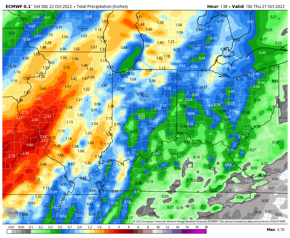
2. A cold front and associated surface wave of low pressure will spell a period of needed rains around these parts by Tuesday evening into Wednesday. Rainfall totals are creeping up on recent model runs (good news as our rainfall deficit continues to grow more than 2”). Perhaps some 1”+ amounts are possible, especially for western areas with the passage of this system.

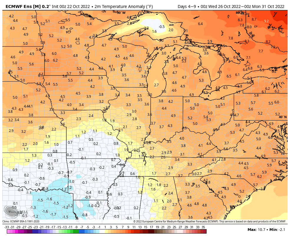
3. While we will “cool” behind the passage of the front, the airmass isn’t anything to write home about (lows in the lower 40s and highs in the mid-upper 60s).

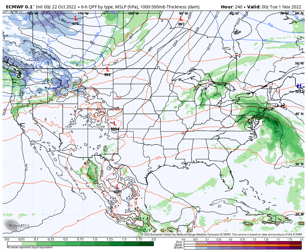
4. The early call on Halloween reflects a chance of light rain but any storm system of significance appears to remain away from our region as of now. We’ll certainly continue to keep a close eye on things.

If you haven’t had a chance to read our long range outlook from Thursday, we encourage you to do so here. This will shed light on where the pattern is heading as we get into November.
