You must be logged in to view this content. Click Here to become a member of IndyWX.com for full access. Already a member of IndyWx.com All-Access? Log-in here.
You must be logged in to view this content. Click Here to become a member of IndyWX.com for full access. Already a member of IndyWx.com All-Access? Log-in here.
You must be logged in to view this content. Click Here to become a member of IndyWX.com for full access. Already a member of IndyWx.com All-Access? Log-in here.
We need to continue to keep close eyes on the potential of a sneaky wave developing along the arctic front Wednesday evening. It’s entirely possible that portions of southern Indiana pick up a light accumulation with this wave prior to the arctic reinforcements to close the week. We’ll be back into the forecast office tonight and have a Client video posted on today’s trends.
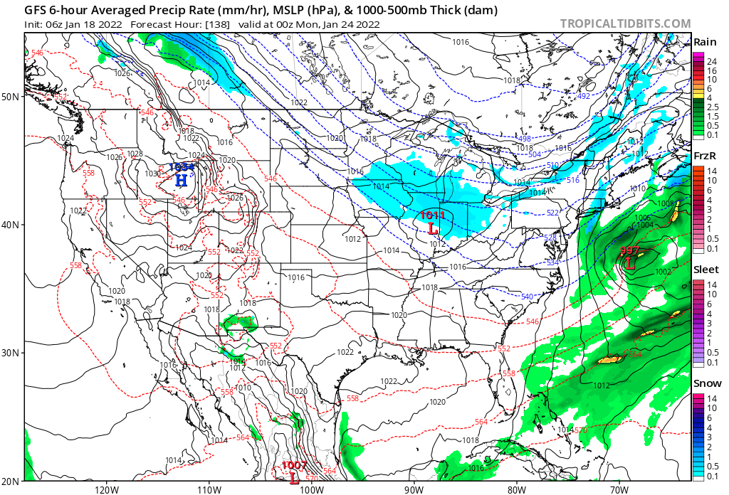
Our attention will then turn to the threat of a vigorous clipper system Sunday PM. With arctic air in place, expect the “fluff factor” to be in full effect with this system. Again- tonight’s video will look further at trends.
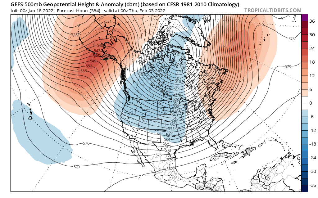
As a whole, the pattern is turning more active and that should continue to be the case as we head into early February.
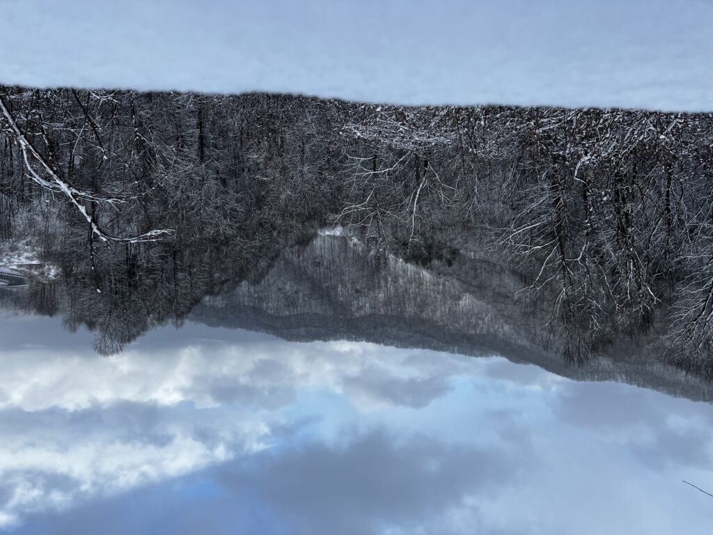
Asheville hasn’t disappointed. Anywhere from 6”-12” is common in and around the southern NC mountains. Now we brace for big wind and a northwest upslope snow event before things wind down and attention shifts to another southern storm late week. The icing on the cake? Having an opportunity to chat with Jim Cantore.
It’s back to “regularly scheduled” programming Tuesday evening. I appreciate your patience when I’ve been out on the road these past few days.
As we look at our weather over the upcoming 7-10 days, cold and rather uneventful sums it up. We’ll have a couple of dry cold fronts that will reinforce the arctic air, but any meaningful precipitation will be hard to come by between now and the end of the week.
Coldest days appear to be slated for Thursday and Friday where highs won’t make it much above the mid 20s. Throw in a gusty northwest wind and wind chill values will plummet below zero at times. Another jab of arctic air is slated to arrive the early to middle part of next week and we’ll need to monitor for the prospects of potentially something more “exciting” on the snowy side with that system.
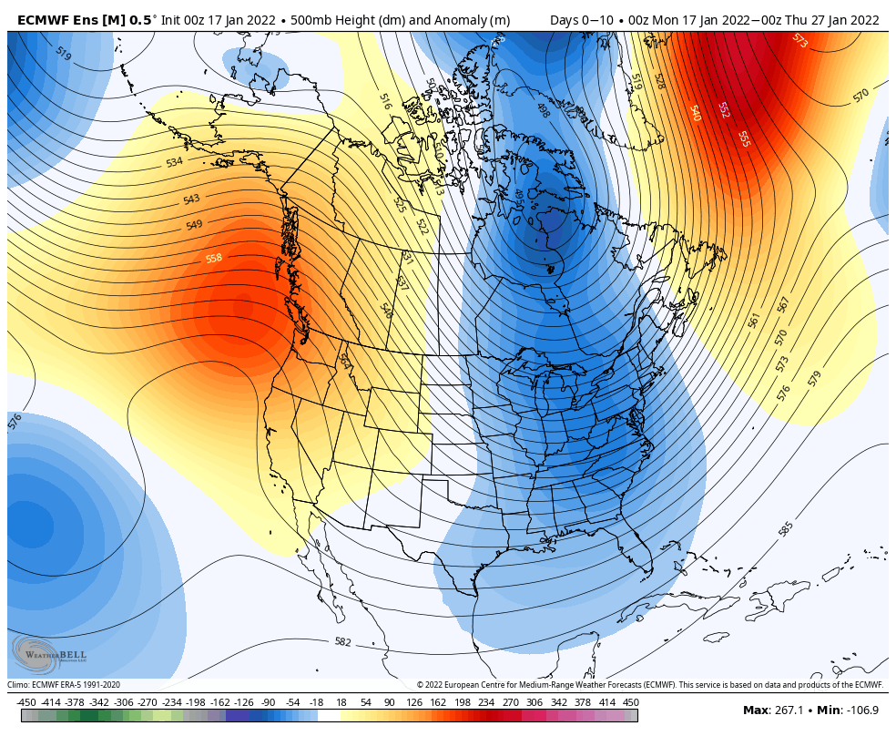
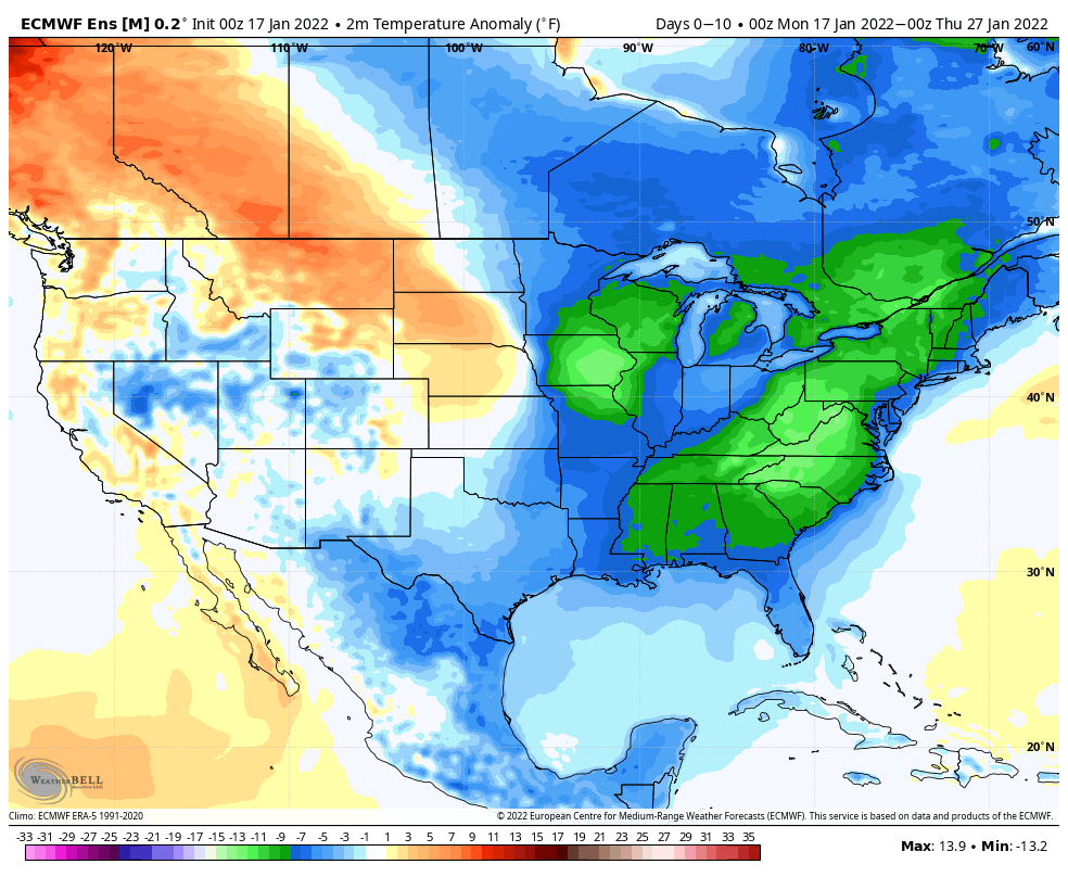
An eastern trough will dominate the weather pattern as we close out January. Widespread below to much below normal temperatures can be expected across the East over the next couple of weeks.