Updated 10.16.21 @ 8:10a


Forecast Period: 10.16.21 through 10.23.21
A true fall cold front blew through the region during the overnight. You can certainly feel the difference out the door this morning as northwest winds blow the chilly, much drier air into the region. Highs today will struggle to crack the 60° mark. “Sweater weather, anyone?!” We’ll prep for the first round of patchy frost in outlying areas by Sunday morning as temperatures dip into the mid and upper 30s, winds go calm, and skies are clear.
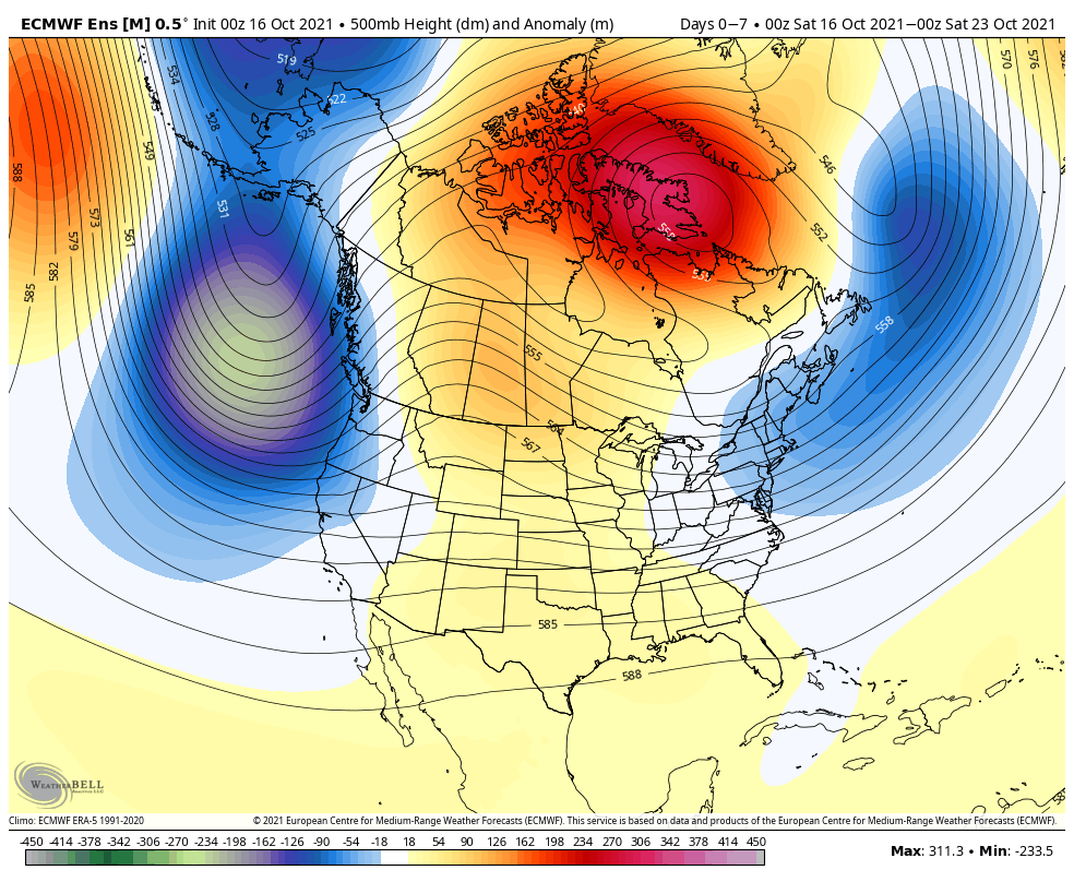
As we head into the new week, much needed dry time can be expected to open things up as high pressure dominates. Look for a string of sunny days and cool, clear nights. This will give the “nudge” needed to ignite what’s otherwise been a delayed and sluggish fall foliage season.
Our next system of note will arrive Thursday in the form of a low pressure system and trailing cold front. Showers are expected to arrive Thursday morning from the west. We’re not talking about impressive rainfall numbers with the front, itself (on the order of 0.10″ to 0.20″ Thursday), but the period heading into next weekend remains in limbo between forecast models duking it out with the wetter GFS and drier European. We’ll see if we can get more agreement over the next day or two.
